Blog
August 25th, 2016
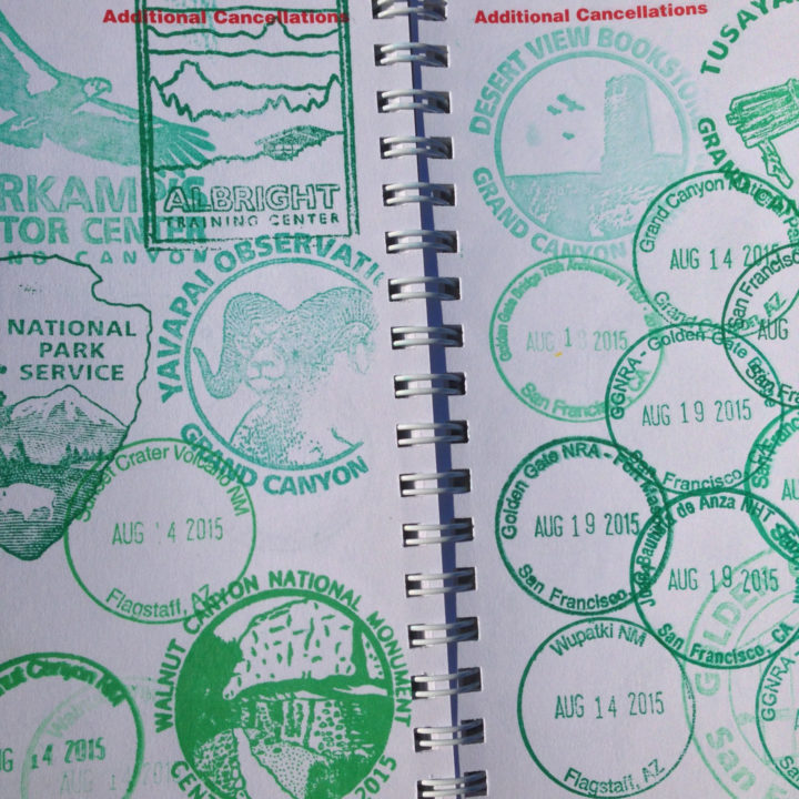
I don’t know about you, but on this, the National Park Service centennial, this millennial is paging through her big fat stack of stamped pages, proof of a lifetime of national parks love. Apparently I like to cram that ink into every nook and cranny of my passport—but that’s good, because I’m trying to leave room for many more to come. Happy 100th birthday, NPS—here’s to many more!
August 15th, 2012
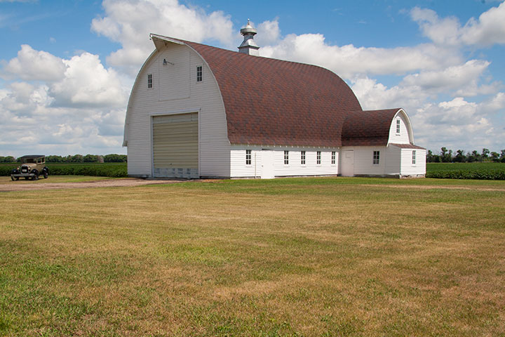
The Tailor and I took a road trip to a friend’s farmstead wedding in North Dakota this month.
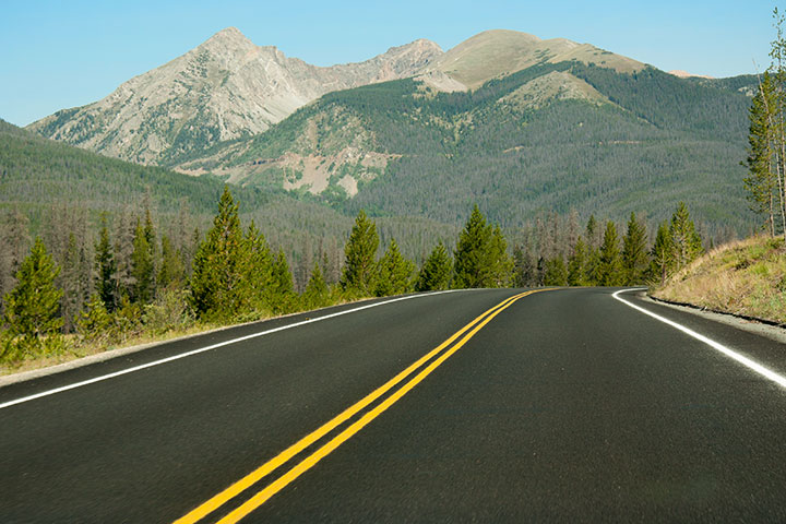
We figured that while we were at it, we might as well make a mountain (read: 750-mile) detour to complete our vacation.
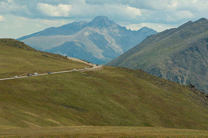
So off to the Rockies we went,
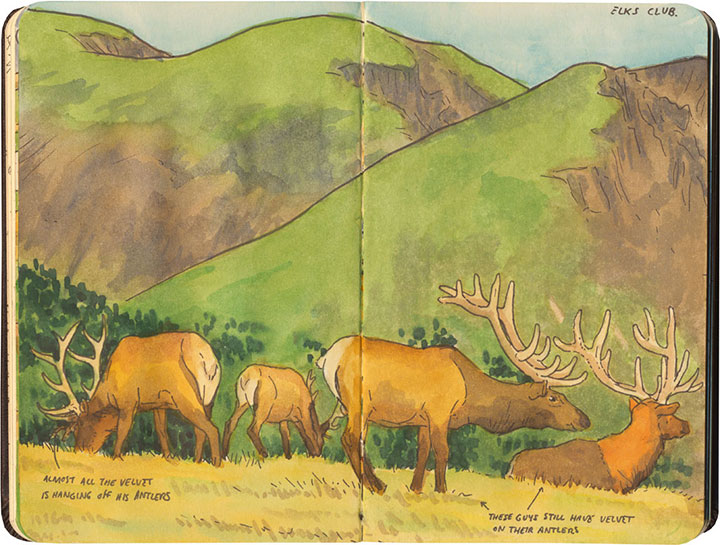
sketchbook in (my) hand,
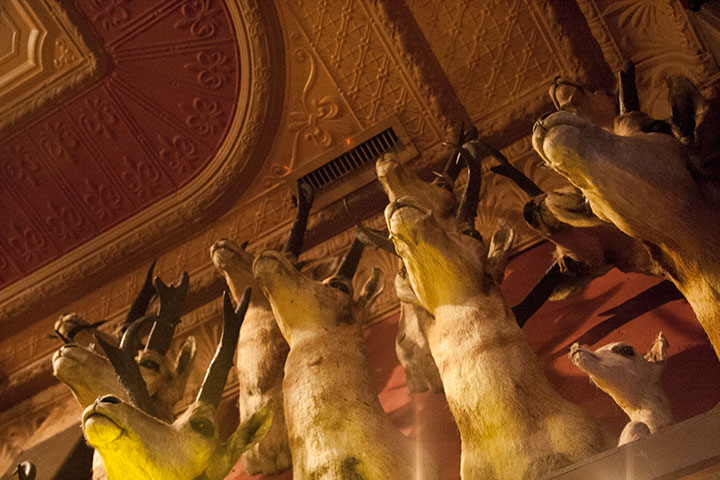
with our eyes peeled for roadside attractions,
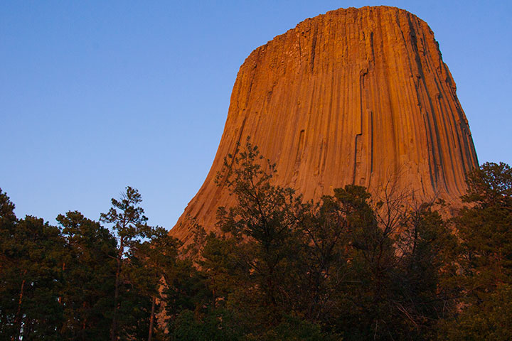
and the camera ready to capture every perfect moment.
April 30th, 2012
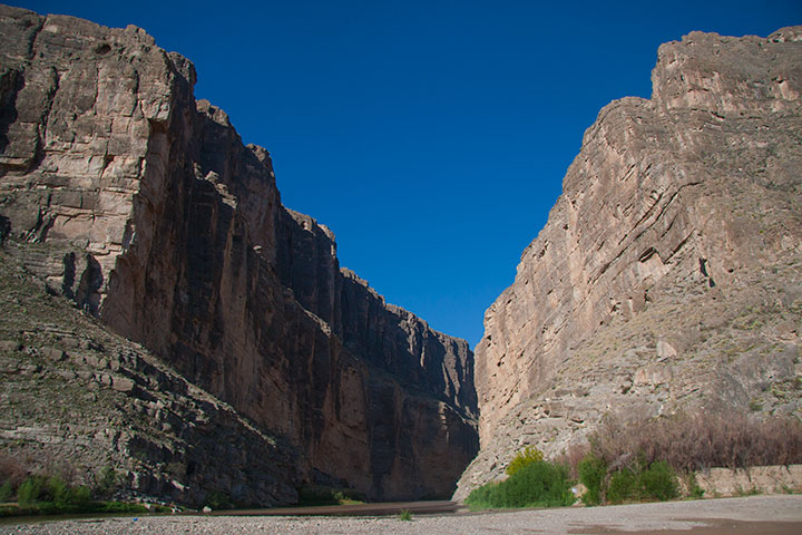
Mexico on the left, Texas on the right.
With all the crazy work I’ve been doin’ lately—and all the rain that this season brings—I really, really needed a vacation. So the Tailor and I took ourselves on a little road trip—way the heck down to the Texas-Mexico border. Yep, we drove 2,200 miles one way, just to be able to stand ten feet from an international border. It’s a pretty amazing feeling, actually.
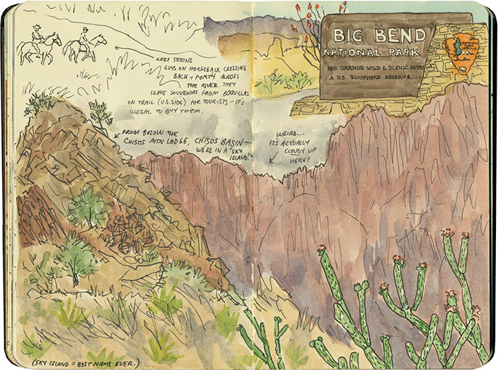
We spent most of our time at Big Bend National Park (you know how much of a national park nut I am!), which allowed for plenty of time for sketching—
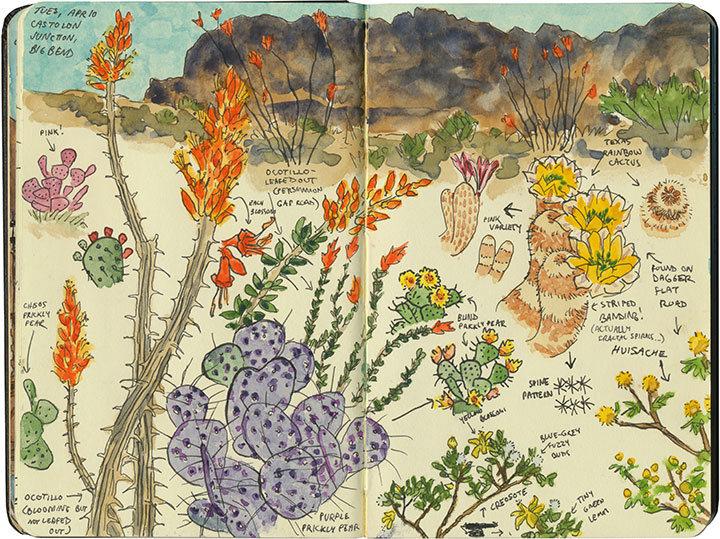
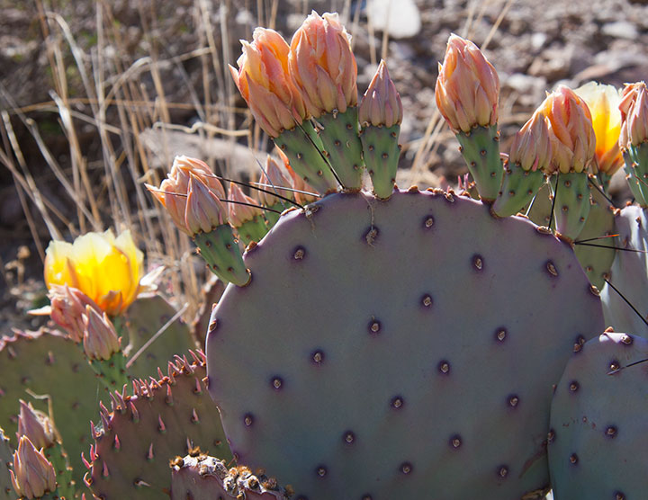
—and lots, and lots of desert sun to soak in.
April 9th, 2012
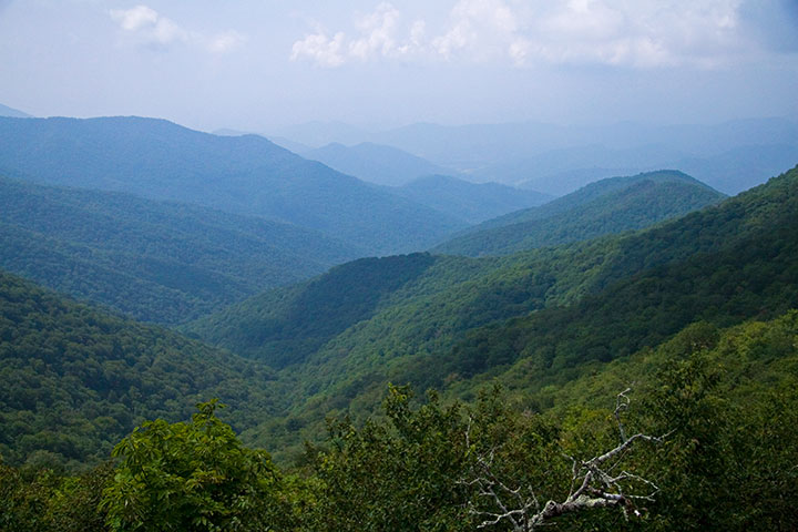
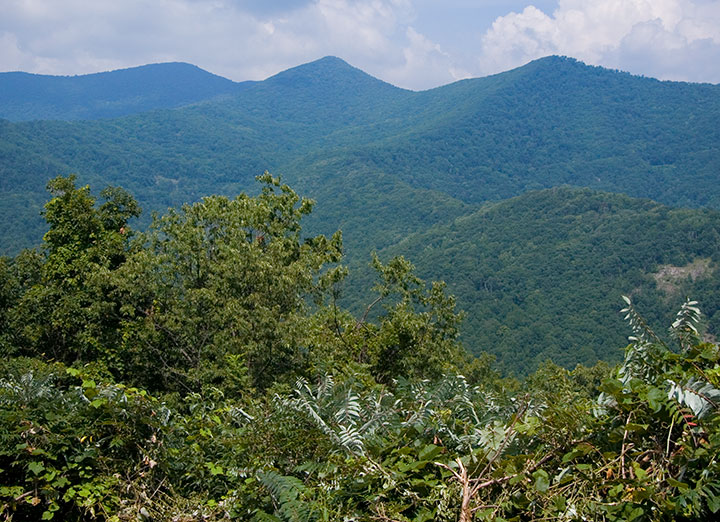
When Jessica and I were in North Carolina last summer, we had just enough sightseeing time to squeeze in a short trip along the aptly-named Blue Ridge Parkway.
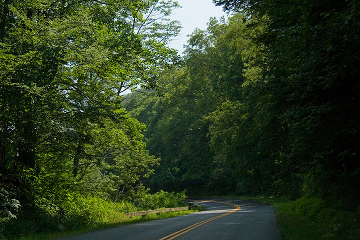
Between the dappled sunlight,
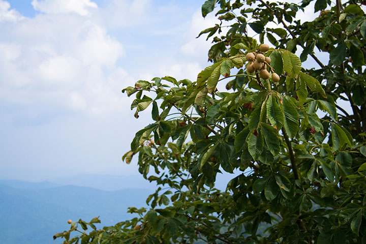
the lush Southern greenery,
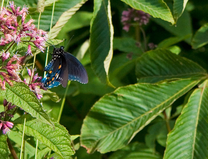
and the unexpected splashes of color,
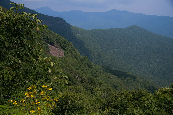
we were enchanted in an instant.
(I, for one, was tempted to do a little Katniss Everdeen impression—just run away from it all and head for the hills.)
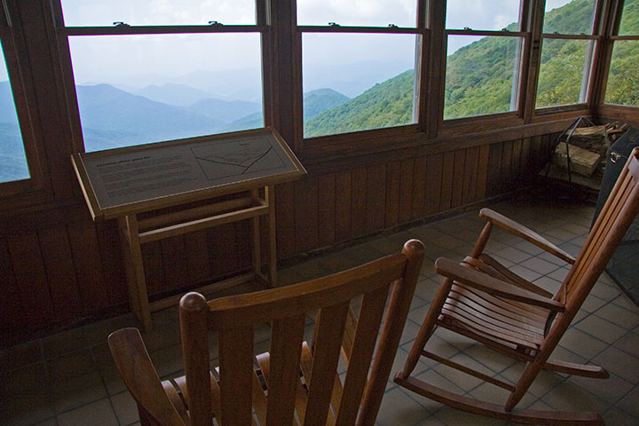
It wasn’t hard to imagine sitting down and breaking out the paper and paints, with all that blue haze as inspiration.
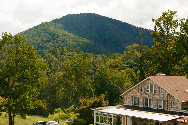
The folks at the nearby Penland School of Craft certainly agree. Since Lucy Morgan founded it in 1929, Penland has become a national center for craft education. Widely respected for its preservation of handcraft traditions, Penland is centered on total-immersion study and both traditional and experimental techniques. Settled in a quiet pocket of the Blue Ridge Mountains, it’s an inspiring setting for focused work. Thanks to its reputation and location, the school attracts some of the country’s best artists and fine craftspeople to study and teach in the Penland studios.
So you can imagine how thrilled and honored Jessica and I were when they asked us to come and teach a letterpress workshop there this summer.
We’ll be teaching a one-week printing intensive, and doing our very best to turn the printshop upside down. This ain’t your grandpa’s letterpress. Here are the details:
Letterpress: Old Dog, New Tricks
A printmaking intensive with Chandler O’Leary and Jessica Spring
Penland School of Crafts, Penland, NC
Summer Session 7: Aug. 26 to Sept. 1, 2012
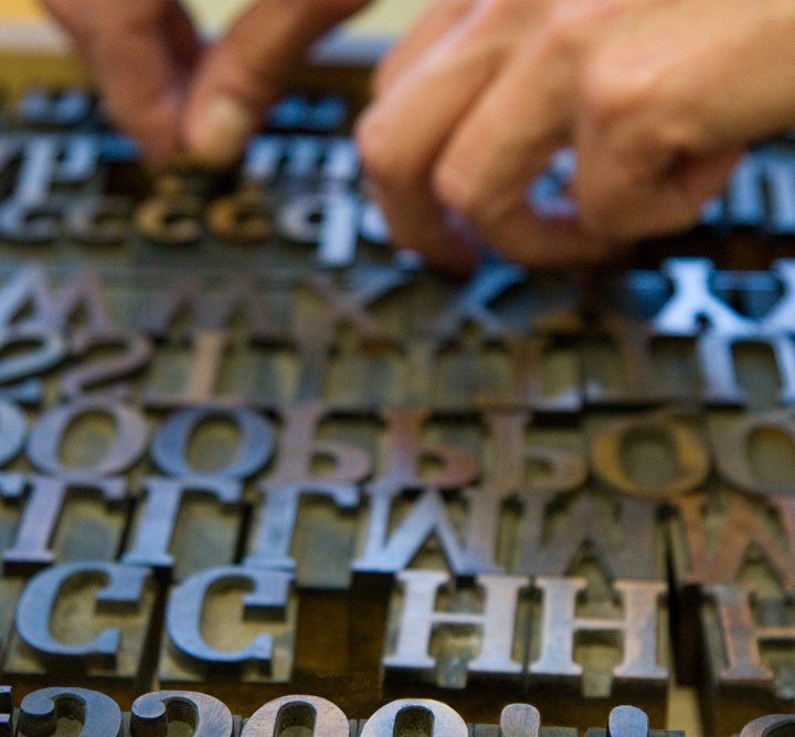
In the class, we’ll work with both hand-set type (don’t worry, we won’t monkey with any linotype machines…) and photopolymer plates to produce editioned prints that combine the two techniques.
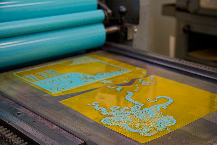
We’re going to get pretty technical, pretty fast, but don’t worry—the workshop is open to all levels of experience. That way we can bring letterpress newbies up to speed quickly, and give more experienced printers the chance to go nuts and geek out with us.
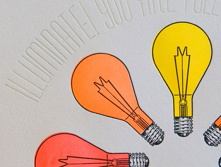
“Unnatural Light” by Jessica Spring
You’ll be doing some death-defying typesetting by hand, using Jessica’s acrobatic techniques,
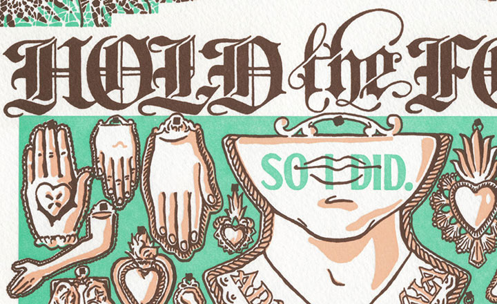
On a Mission Dead Feminist print
and I’ll teach you the ropes of designing for photopolymer, so you can throw a three-ring hand-drawn circus into the mix.
So get thee to the mountains and join us! Registration is open now, but don’t wait too long—the class is capped at 12 students.
See you in North Carolina! Save me some grits, will you?
October 1st, 2011
It’s hard to think of a better weekend activity than taking a quick trip to San Francisco.
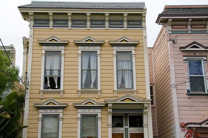
First of all, Jessica and I got to visit the lovely Sarah and Jesse, who live here—
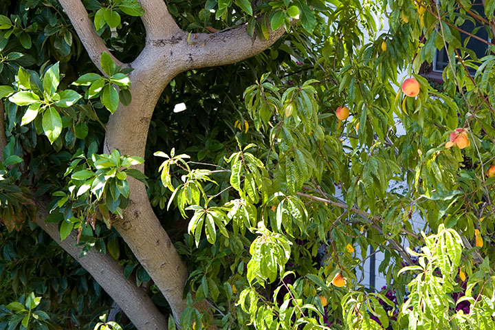
and whose back yard contains this.
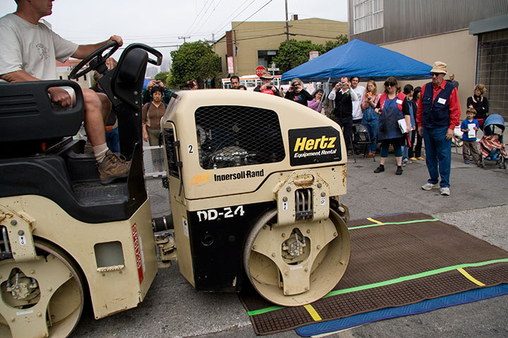
And then we got to raise a fantastic ruckus and make guerrilla street art with a whole bunch of people looking on.
SFCB’s got this thing down to a science. Between the small army of volunteers who took care of the inking and registration (line-up),
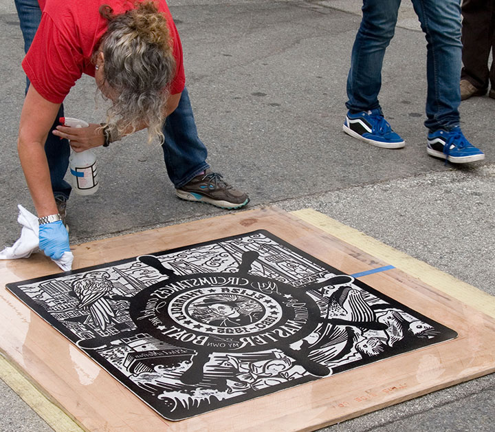
and their probably-patented methods for keeping street schmutz off the prints, the results were impressive. In fact, this is my fourth steamroller print (and Jessica’s fifth), and I’ve never seen one turn out this well before.
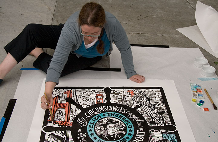
Photos of us by Jesse Mullan
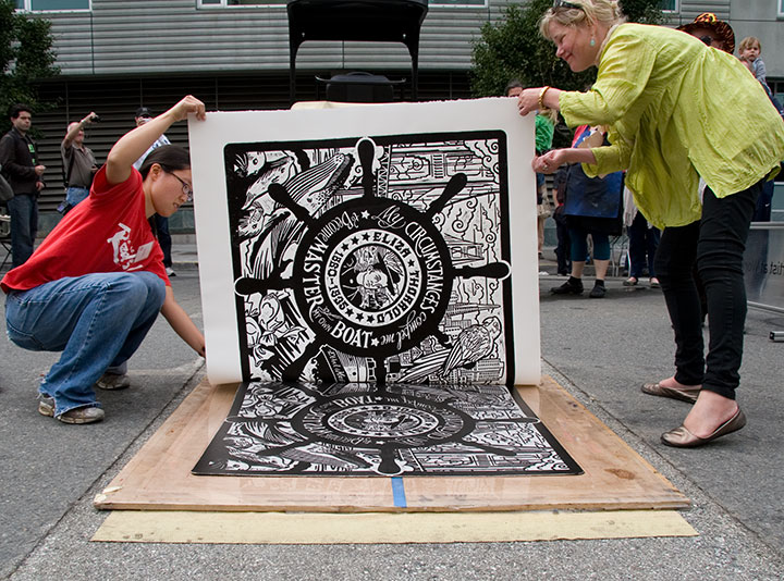
Besides, we really needed to keep our hands clean this time, because we upped our personal ante and just plunked ourselves down on the sidewalk for a bit of on-the-fly hand-coloring (though avoiding the very wet ink felt kind of like playing Twister).
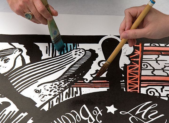
That turned out to be the perfect tag-team job, actually. I do a lot of hand-coloring when I print, as you know, but never anything this big—
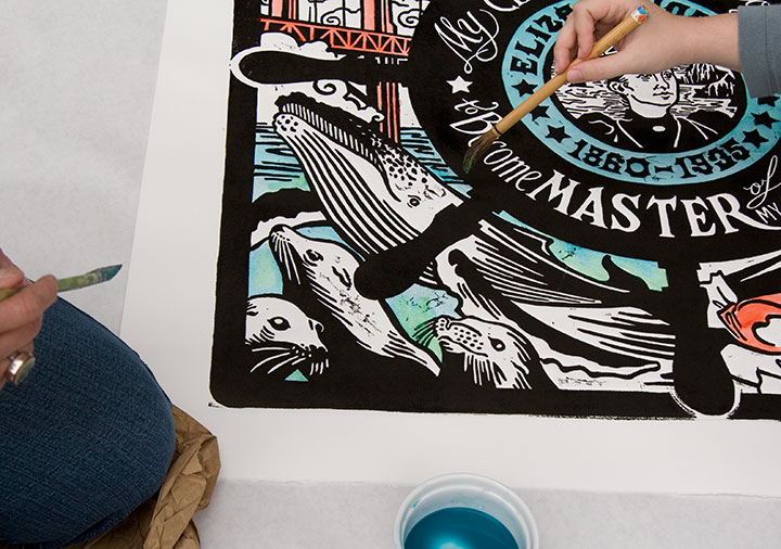
having two sets of hands to blend colors and two sets of eyes to look for missed spots was definitely the way to go.
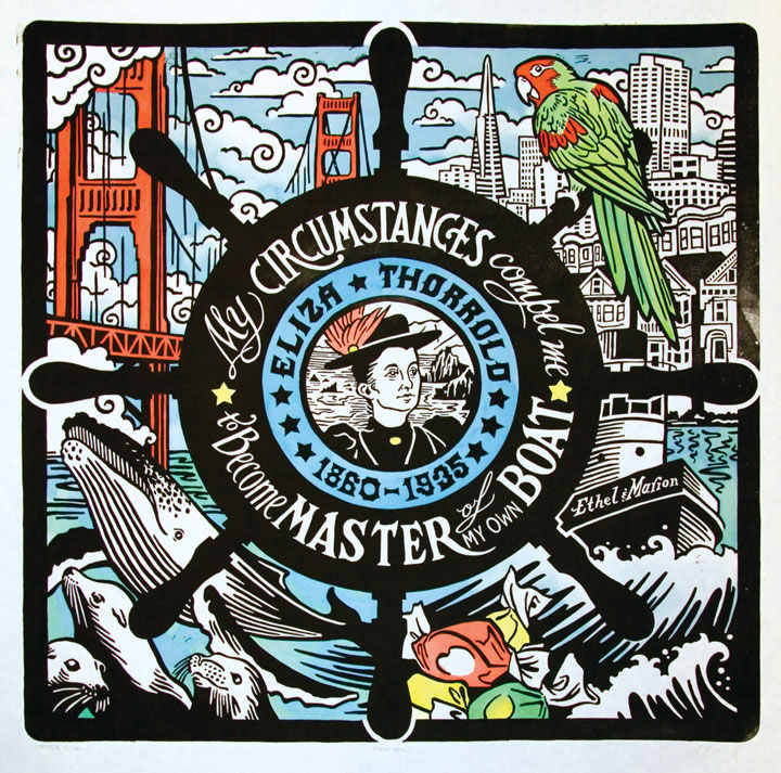
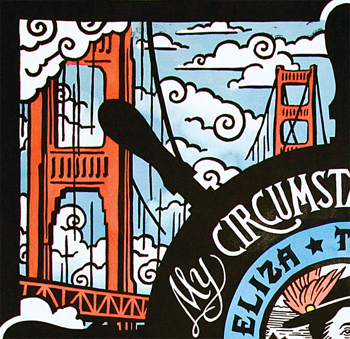
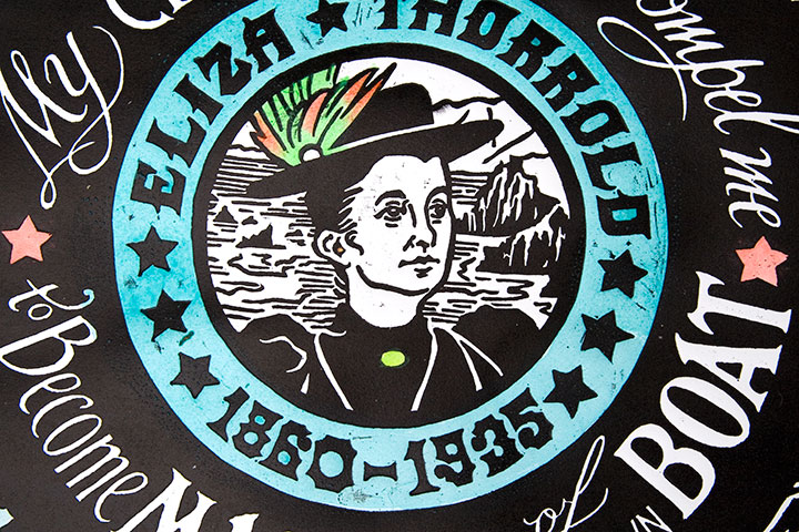
So thar she blows. Let me introduce you to Eliza Thorrold, and our latest honorary Dead Feminist print, Even Keel. Eliza was the first licensed female tugboat master on San Francisco Bay. After Charles, her husband who piloted the Ethel & Marion before her, died an untimely death, she fought for and received her operator’s license to continue their tug business in his stead and provide for her family. Her quote says it all: “My circumstances compel me to become master of my own boat.” Hear, hear, Eliza.
After she left the high seas and entered retirement as a landlubber, she became master of her own taffy pull by opening a successful ice cream and candy shop with her son. Hence all that salt water taffy. And as if the nautical sweet-shop theme weren’t enough, we couldn’t resist throwing in all our favorite things about San Francisco. So go hunting around the image, and see what you turn up. Then, on your next trip to the City by the Bay, learn more about Eliza’s life (and those of other women mariners) at San Francisco Maritime National Historical Park.
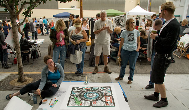
So, yeah. It might not fit the traditional idea of a productive weekend, but it’ll do. We came away with new friends, blue fingertips and a whole lot of ideas to make our own humble little steamroller party better.
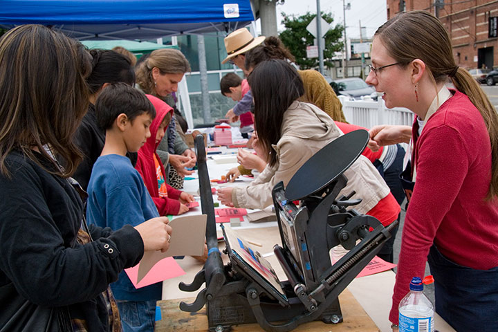
Many thanks to all the staff and volunteers of the San Francisco Center for the Book, who made the day a smashing success—
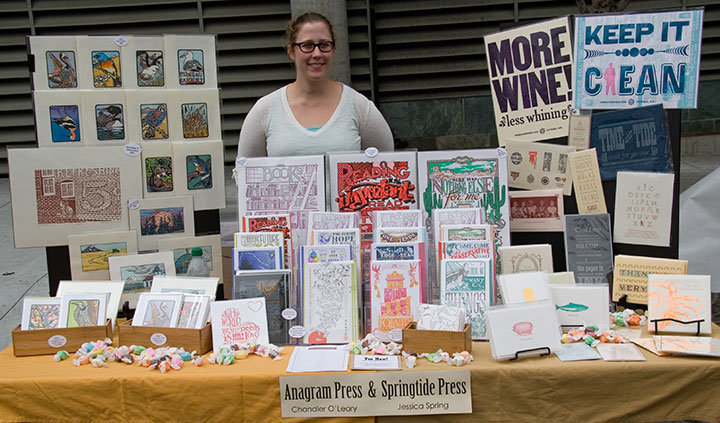
and to all the kindred spirits who lent a whole bunch of helping hands. Like the super-nice TSA employee who took such great care of our linoleum block and didn’t bat an eye that we had to bring something so huge and bizarre onto an airplane. Like Sarah, who manned our table; and Jesse, who shot most of the photos; and the huge, huggable posse of Jessica’s extended family, who helped schlep things and kept us company and bought us beignets. And especially Jessica’s ten-year-old niece, Luciana, who basically designed our table arrangement. ‘Ciani, you’re one awesome ragazza.
And of course, to Eliza—thanks for standing proud at the helm.
August 17th, 2011
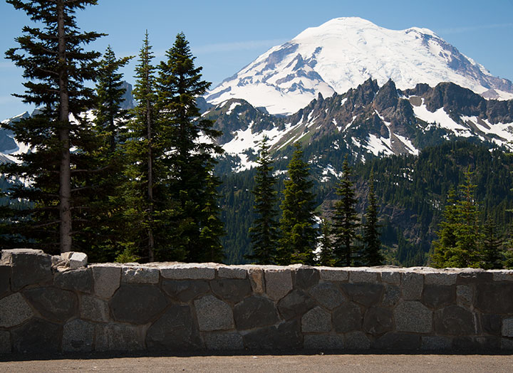
Whenever the Tailor and I do our annual peach haul from the other side of the Cascades, we like to take the back road. That way, we get to take in the mountain air,
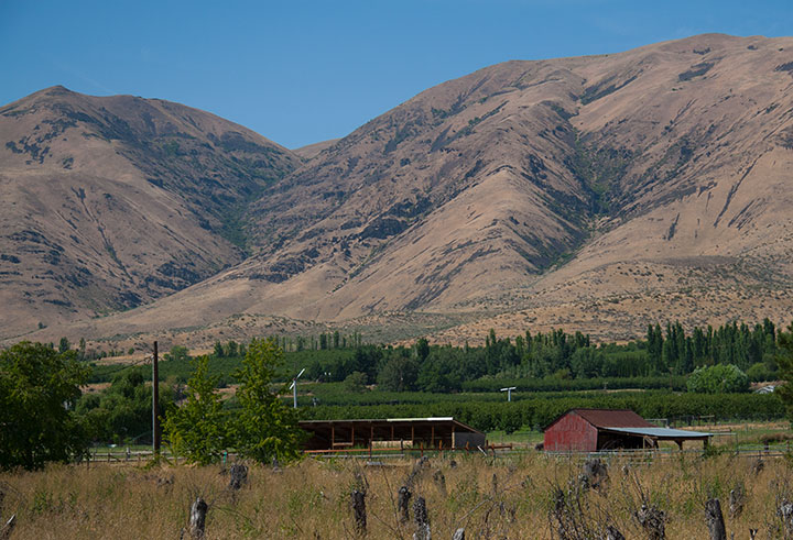
visit every orchard along the way,
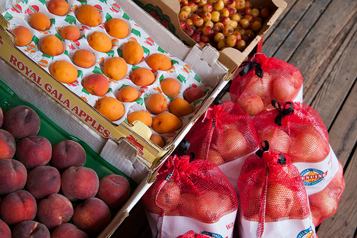
Have our pick of the best farmstands,
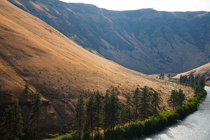
and take the time to find out what’s beyond the next bend in the road.
August 21st, 2010
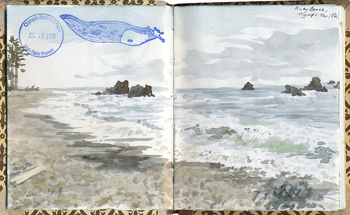
Since I posted this drawing and some others this summer, people have been asking me what’s with the stamps in my sketchbook. I guess the short answer is that each one is a little piece of personal tradition.
But you know I don’t really do short answers.
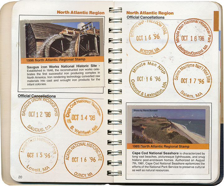
The long one, then.
I grew up in a nomadic family. Between the moves required by Dad’s job in the Air Force and a fierce wanderlust that runs in all the O’Leary veins, we had a lot of reasons to travel. Dad and I, especially, would spend hours poring over our dog-eared Rand McNally road atlas, plotting routes over the back-est of back roads (the squigglier the line on the map, the better) and stops at as many points of interests as we could cram into a journey from A to B.
When I was ten, we made a circuit of our then-home state of Colorado, and devoted our time to exploring every national park and monument we could reach along the loop. At each park’s visitor center, we noticed a rubber stamp and ink pad stationed at the front desk. When we finally asked a ranger what they were for, she handed us a small blue notebook and proceeded to explain about the National Park Service’s Passport program.
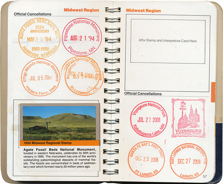
A stamp to collect at every NPS property in the country, and a tidy little book to hold them all? I was hooked.
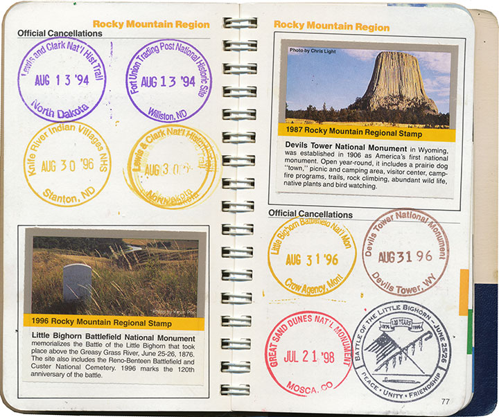
Dad and I found ways to sneak a national monument or two into every road trip and relocation—and even took impromptu vacations just to add a new park to the list. My favorite memory is when I was in high school, and Dad popped his head into my room:
“Have any plans this weekend?”
“Uh, no…”
“Wanna go to Montana?”
So we jumped in the car and drove 600 miles just to flip General Custer the bird at Little Bighorn (I had just read Bury My Heart at Wounded Knee, so he wasn’t exactly stirring me to patriotism). I mean, if you’re going to do it, you might as well go all out, after all. And we had the stamp to commemorate the moment.
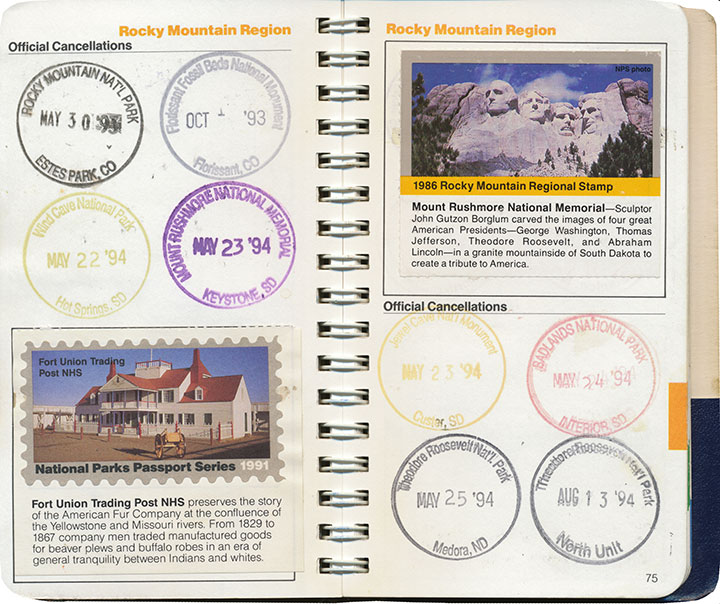
The Passport program also includes collectible paper stamps, which can be purchased from afar (as opposed to the ink cancellations, which are free but can only be obtained in person). I’m pretty lukewarm about these, though; by the time I jumped on the bandwagon they had already phased out the super-cool two-piece design pictured in the lower left corner above, in favor of the cheaper, lower-quality one-piece stamp in the upper right. Since those have been revamped yet again into a pressure-adhesive sticker—and who knows what heinously non-archival chemicals might be in the glue—I’m even less of a completist about them now.
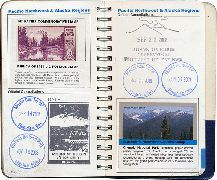
Anyway, I’ve burned through most of the regional sections in my Passport,
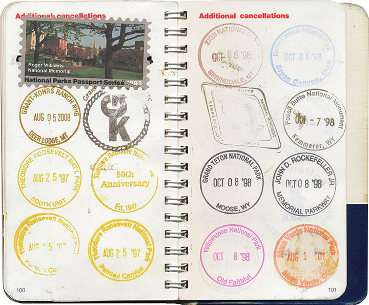
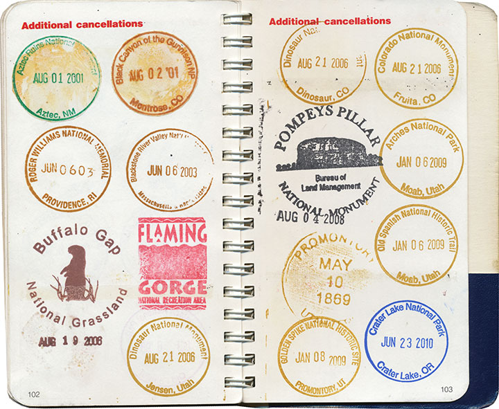
and every inch of overflow space.
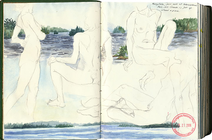
So I’ve branched out a bit.
What I didn’t know as a kid was that my Passport helped me develop my interest in nearly everything I love most: traveling, design, archiving, printmaking, history, typography, bookmaking, and so on.
At some point along the way, I realized that what I really mattered to me (beyond the travel itself) was the act of adding to an ongoing work—and then looking back to see what I had accomplished. That what I had been doing all along, by compiling this little individual history, is creating some form of artist book. And that my frustrations over an imperfect format were really a desire to create my own.
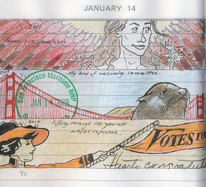
A page from my daily book—more on that here.
So now all of my sketchbooks are Passports, each custom-tailored—
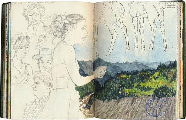
each infinitely flexible, ready for whatever adventures wait to be documented.
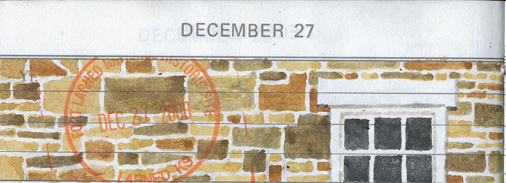
Here it is, nearly twenty years later, and I’m as eager as ever. Moreover, it’s my goal to collect every last cancellation within the entire National Park System before I stamp the big passport book in the sky. I’m about a quarter of the way there.
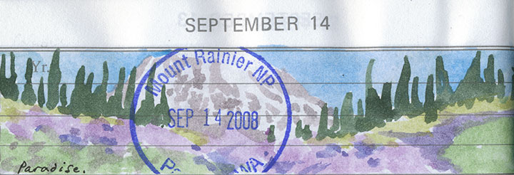
And I’ll probably have to build a library for all the sketchbooks I’ll fill between now and then.
Save
July 17th, 2010
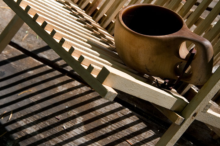
The second part of my little stolen holiday was a little more ambitious: a four-night camping trip with the Tailor in southern Oregon. It was just what the doctor ordered—the perfect prescription for recharging the soul.
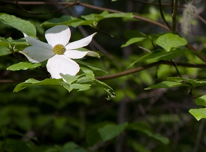
We camped in the Rogue River National Forest, in a grove of hemlocks and blooming dogwoods, just downstream from this:
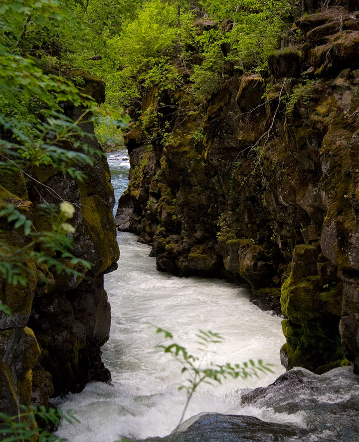
The Rogue is so beautiful that we could have spent the whole trip exploring its banks. Well, if we hadn’t had another destination in mind, that is:
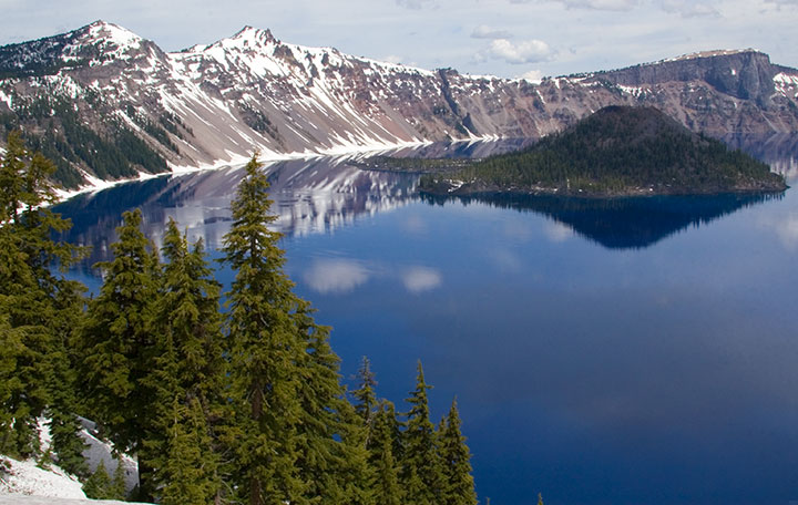
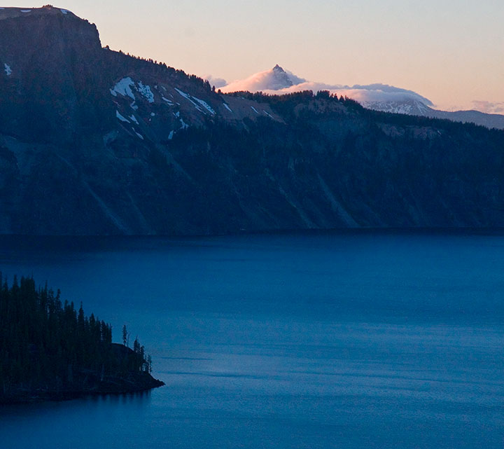
Crater Lake National Park. One of the deepest, clearest lakes in the world, Crater Lake was formed 7,700 years ago by the collapse of Mt. Mazama, after an explosion more than forty times the size of the 1980 eruption of Mt. St. Helens.
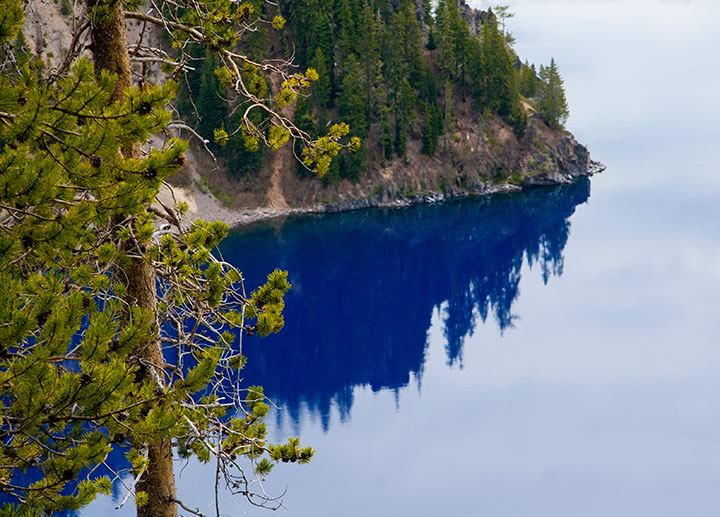
When a group of prospectors stumbled upon it in 1853, and thus became the first white folks to lay eyes on it, they named it Deep Blue Lake. Heh. You can tell they worked hard to come up with that one. Well, at least it’s descriptive.
And accurate. The lake is so impossibly blue because of its depth; when the sun’s rays refract upon hitting the water, red and green light are absorbed in the depths, while only the blue light (which has a shorter wavelength) reflects back to the surface. So the lake is blue even on a cloudy day—as you can see.
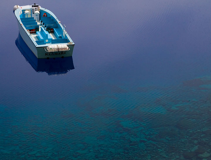
We were a week too early for the boat tours to open for the season, but we hiked down to the water anyway. The rangers like to say that the trail is “one mile down, ten miles back up” (it’s funny because it’s true. Oy.), but the experience is well worth the huffing and puffing. Next time I’ll bring bug spray, though. Note to self.
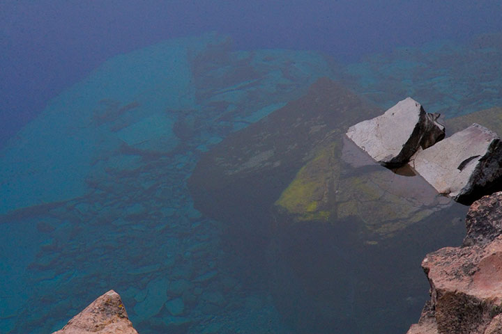
Did I mention that it’s blue? And deep? Maybe those prospectors were onto something.
The photo above doesn’t come close to doing it justice (none of my photos do), but the sheer depth and clarity of Crater Lake was mind-boggling. It’s impossible to tell how deep the rocks in the upper left corner of the photo are, but according to the topo map in front of me, it’s quite a ways down. Because there are no streams in or out of Crater Lake, there’s nothing to muddy or disturb the water—objects are visible nearly 150 feet down. Deep Blue indeed.
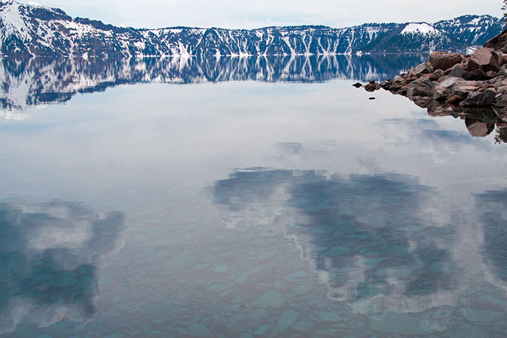
The thing that really got to me was the fact that the lake was both a bottomless pit and a perfectly-flat mirror, depending on which way you looked at it. That’s probably why this is my favorite photo of the trip—somehow the camera managed to look at things both ways.
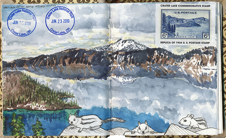
I think I must have been trying for the same kind of perspective with this drawing—and with far less success, I’m afraid. My brain broke when I tried to analyze the thing graphically. Ah, well. (The ground squirrels were fun, though.)
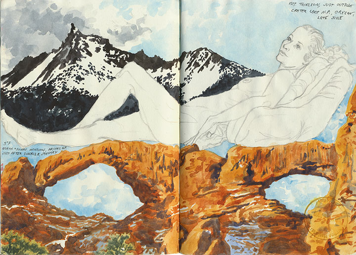
This one worked out a lot better—and it didn’t hurt that the figure and desert drawings were already there to help things along.
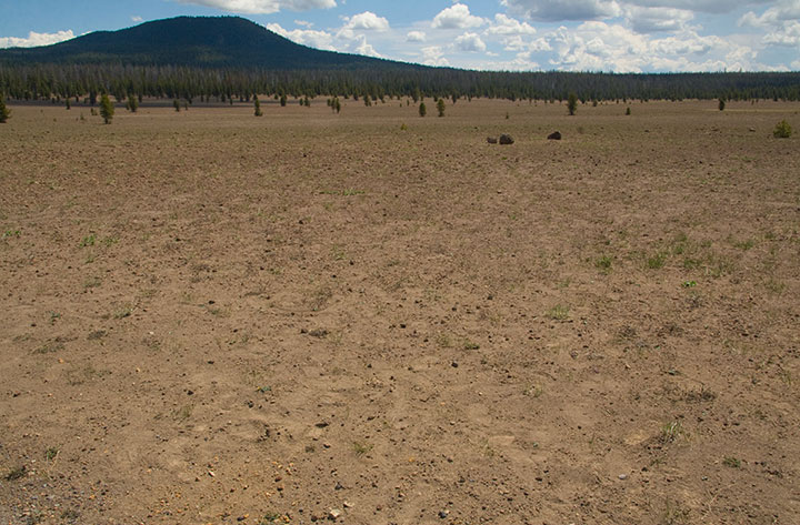
Speaking of deserts, we also saw a whole lot of barren landscapes to balance out all this snow and water. For one thing, we drove down and back on the eastern (the arid leeward) side of the Cascades. For another, there are places where all this ancient volcanic destruction still looks like it happened last year. This is the Pumice Desert, on the north side of the National Park.
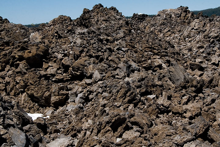
And this is something else again. Now, I loved everything we’d seen at the Park, but my absolute favorite part of the trip was this place, which made for a side trip on the way home. This is just south of the Newberry Caldera, another collapsed volcano formed in precisely the same way as Crater Lake, but on a much smaller scale. A trail winds up and through the rock-pile hills—a landscape that seems plucked from the surface of the Moon.
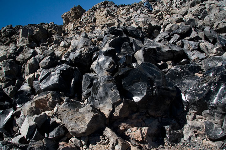
If you step closer, however, you’ll see the light glinting off of each rock and pooling in every crevice. In full sunlight the entire hillside sparkles like a gigantic, blinding treasure hoard.
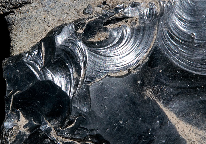
The rocks shine because they’re not rocks—they’re glass. This is obsidian, a natural glass formed when lava cools rapidly without crystallizing. Besides being gorgeous and just about the coolest thing ever, obsidian is extremely useful as a surgical tool. Obsidian scalpels can be sharpened to a near-microscopic edge (because of the not-forming-crystals thing), and the incisions they make produce narrower scars than steel scalpels do. Neat, huh? Anyway, obsidian flows of this size are quite rare, so if you get the chance to walk through one—take it.
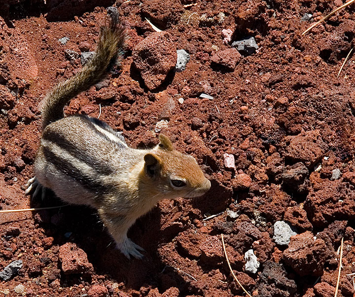
I could have stayed all day with the obsidian (which, by the way, is called the Big Obsidian Flow, a name that gives Deep Blue Lake a run for its money), but we were still several hours from home (we figured we’d have to spend the first hour stepping carefully around all the ground squirrels that had appeared at our feet), and we still had one more stop to make:
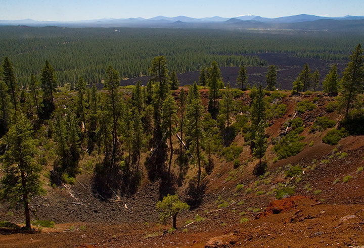
Lava Butte, from which it was possible to see pretty much every darn volcano in Oregon, and even Mt. Adams in Washington. I won’t bore you with the 200 other photos I shot from up there, but let’s just say I was in suitable awe.
Oh, and for the record? All of these volcanoes are still active. How freaky is that? Or maybe it isn’t, and I just have volcanoes on the brain, but I think it’s freaky.
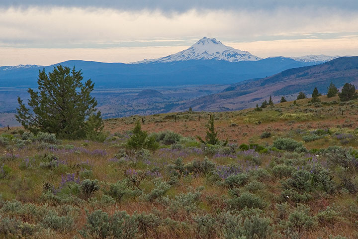
I lost count of all the volcanoes we spied, but the rest of the numbers were easy to tally:
Five glorious days.
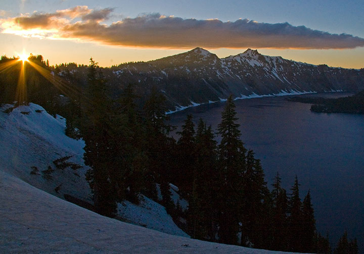
Five breathtaking sunsets.
Five thousand smiles.
July 11th, 2010
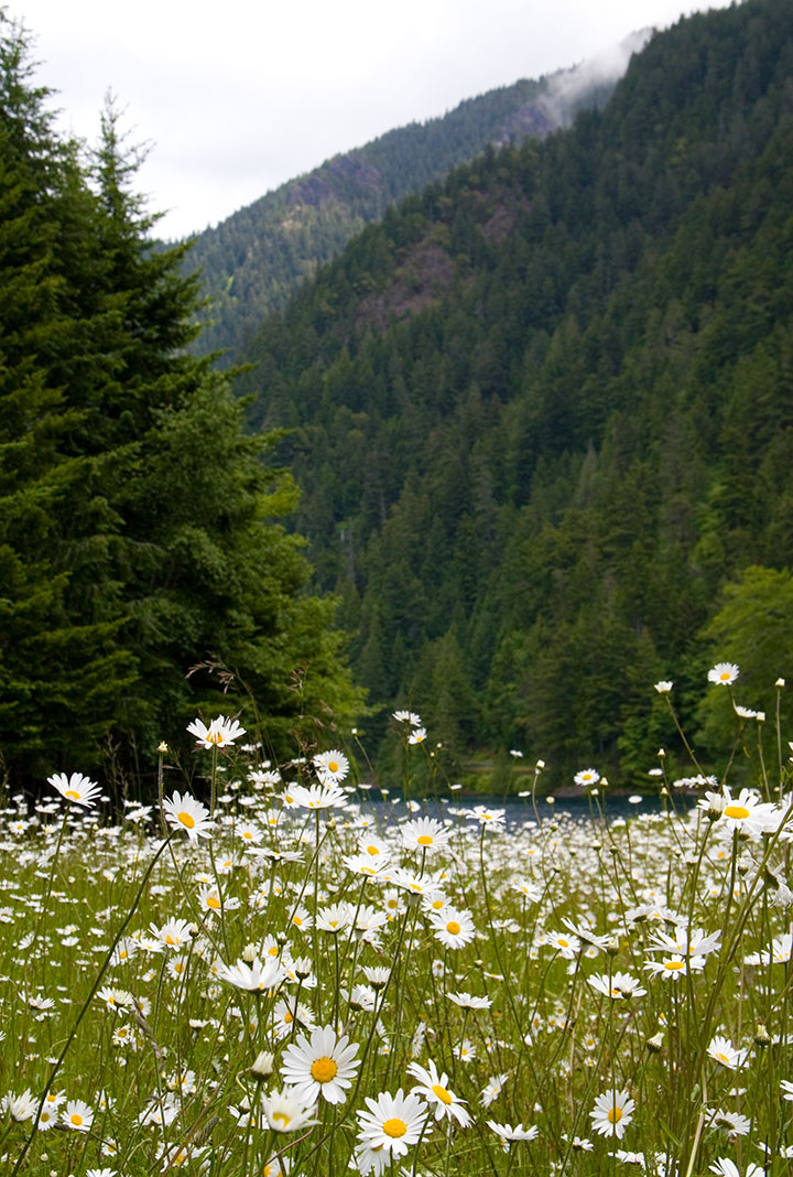
Since I’ll be a hermit for most of the rest of the year while I finish my Rainier book, I tried to sneak a little stolen summer vacation time into June. If I was going to lock myself indoors during our sunniest season, I wanted as many mountains, oceans, flowers and skies as I could cram into a week first.
For the first few days we had a couple of friends staying with us. Since one of them was visiting from Colorado, and wanted a change from the hot, dusty summer back home, we took a day trip to the Olympic Peninsula for a good dose of lush greenery.
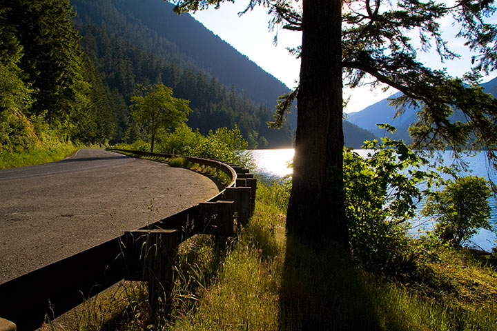
The West Coast highway, U.S. Route 101, ends with a 300-mile, two-lane meandering loop around the Peninsula. It’s the only thoroughfare on the entire Peninsula, and a treacherous road, full of hairpin curves, patches of fog, logging trucks and landslide-prone slopes—but the scenic beauty makes the drive a spectacular adventure.
We took the northernmost leg of the road that day. Just west of Port Angeles it winds through a tunnel of trees as it hugs the shore of Lake Crescent, where we stopped for a picnic lunch beside the impossibly blue water.
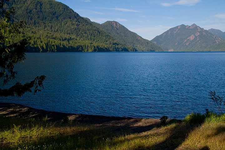
We were tempted to spend the whole day at the lake, but a bigger surprise lay down the road: the Hoh Rain Forest, one of the largest of America’s rare temperate rain forests. I’d also bet it’s the most beautiful—if it weren’t a four-hour drive away, I’d go every day.
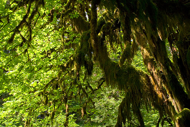
I had only ever seen the place in a downpour (big surprise—they get up to fourteen feet of rain and over 300 cloudy days a year), but as soon as we arrived that day … the sun came out.
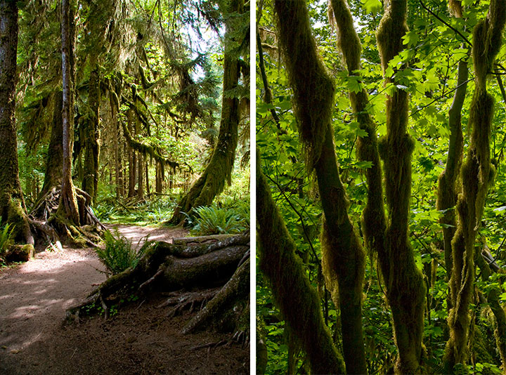
I almost didn’t recognize the place.
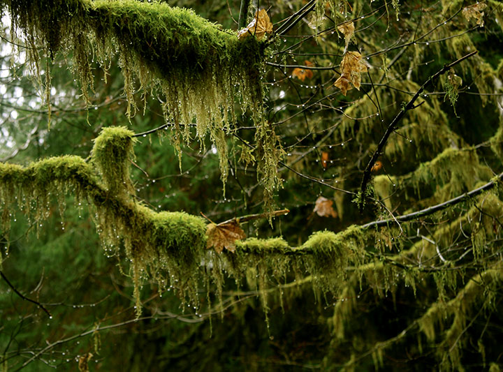
The last time I was there, droplets hung from every surface and everything shimmered with a gossamer silver glow.
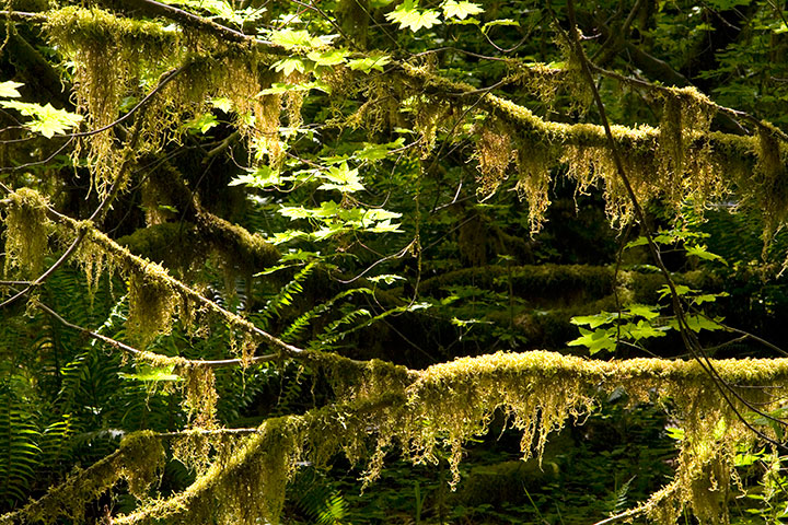
This time, the glow turned to spun gold and bottle green.
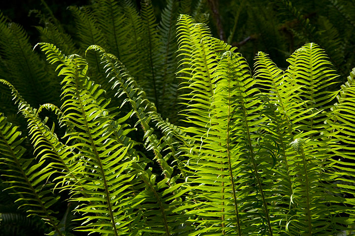
As always, though, every branch was festooned with cat-tail moss, and sword ferns carpeted the forest floor.
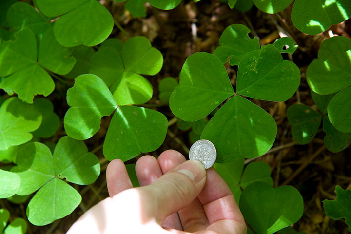
And the clover leaves were the biggest I’ve ever seen.
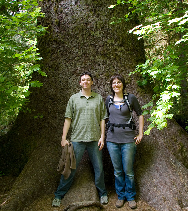
So were the trees.
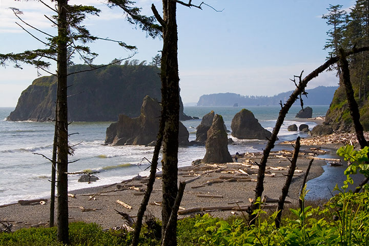
The best part about our road trip was the fact that it was nearly Midsummer; we still had hours of sunshine left to us. Next on the itinerary: Ruby Beach. It was a short hike down to the water, past Queen Anne’s lace and just-ripening salmonberries, with the roar of the Pacific ringing in our ears.

That bizarre stamp is still the only banana slug I’ve ever seen, alas. The search continues!
I sat down to do a watercolor,
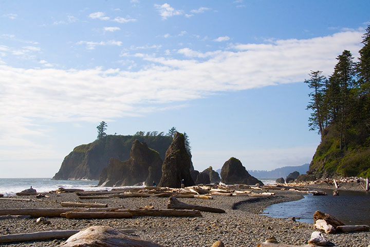
while Ethan moved along the shore to explore the sea stacks,
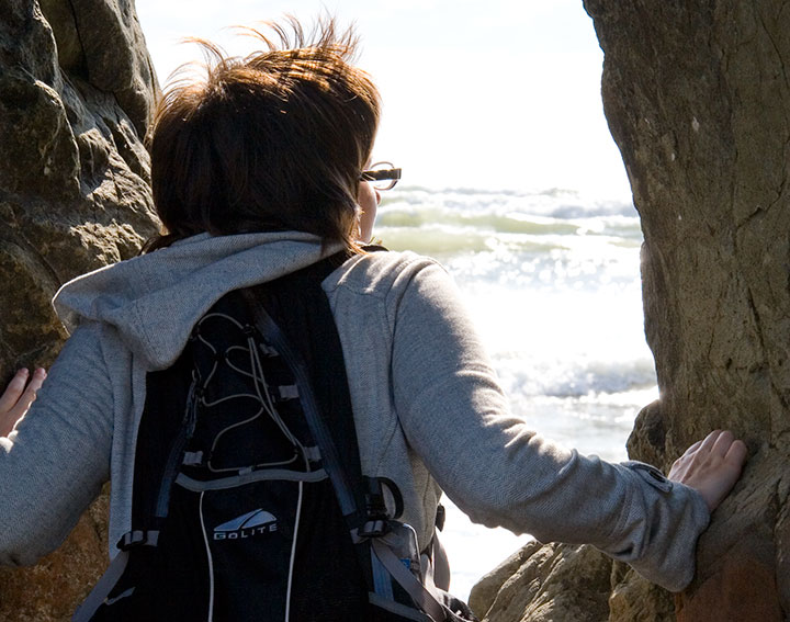
and Nicole stopped to take in the view.
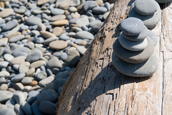
We made a quick contribution to the collection of obos on a nearby driftwood log, and set off for home.
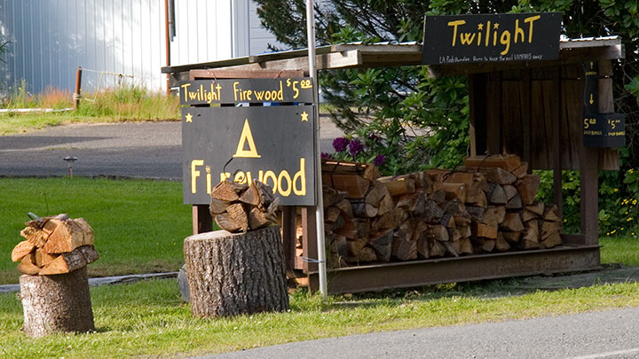
Yes. Twilight firewood. For setting those vampire books on fire, I think.
On the way back we stopped for a little absurdity. Route 101 passes through Forks, home of a certain infamous vampire series; we couldn’t resist stopping to take photos of the hilarious roadside tie-ins that had popped up since the last time I passed through. I’d never read the books, but when Nicole told me that these vampires only eschew sunlight because it makes them sparkle … well. My morbid curiosity got the better of me, and before I could stop myself, I read the whole blasted page-turning accident scene of a series the following week. Ugh.
And, uh, yeah. They sparkle. And whine and brood and mope. Curiosity satisfied.
I digress. Sorry.
By that point we were starving—but not in the mood for Twi-dogs or whatever punny food might be expected in a place with a name like Forks. So I suggested we hang on a little longer and head to Port Townsend, where I knew of a fantastic seafood restaurant.
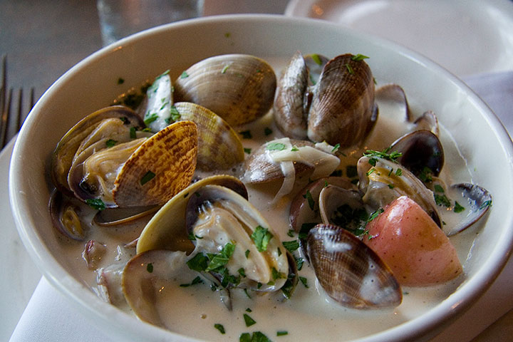
An hour later, we had traded Forks for spoons, and were digging into our bowls of the tastiest, freshest, localest carn-starn Manila clam chowder on the West Coast. And changing my definition of road food in the process.
Oh, who am I kidding? You know that whole trip was for the chowder, right?
April 12th, 2010
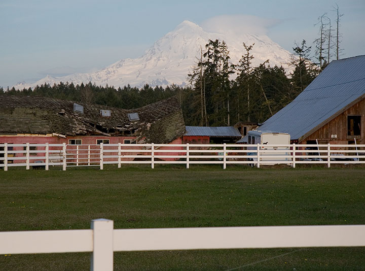
The sun came out yesterday afternoon, and Mt. Rainier peeked out from behind the clouds. On a whim I tossed my camera into the car and bolted to Paradise, where I had been hoping for one more research shot for my book: Rainier in the snow.
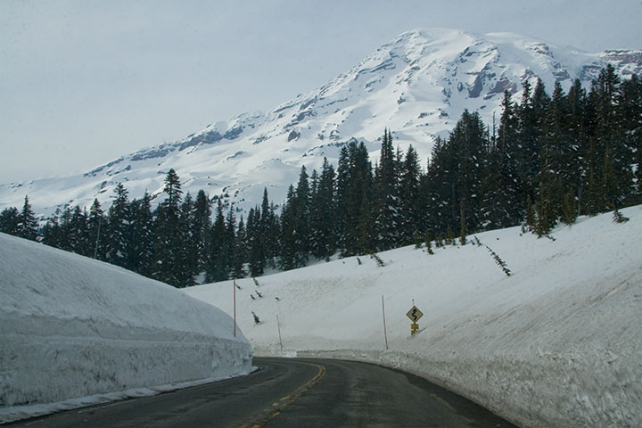
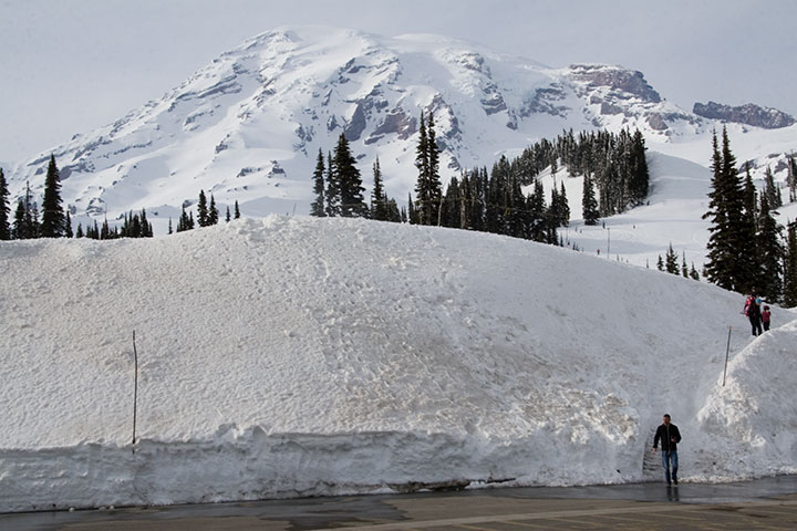
Well, I certainly got my wish.
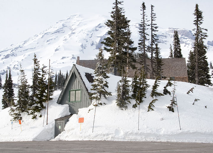
An hour and a half later I was standing in the cold, at the highest point on the southern park road, and the furthest one can go before the snow melts at the end of June and the rest of the park opens.
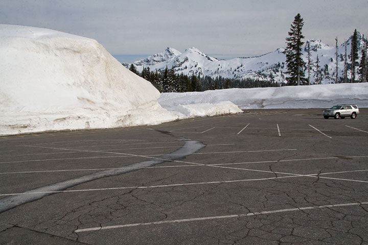
I looked over at one of the few cars around me, and was absurdly reminded of all those winters I spent in North Dakota (minus the mountains, of course).
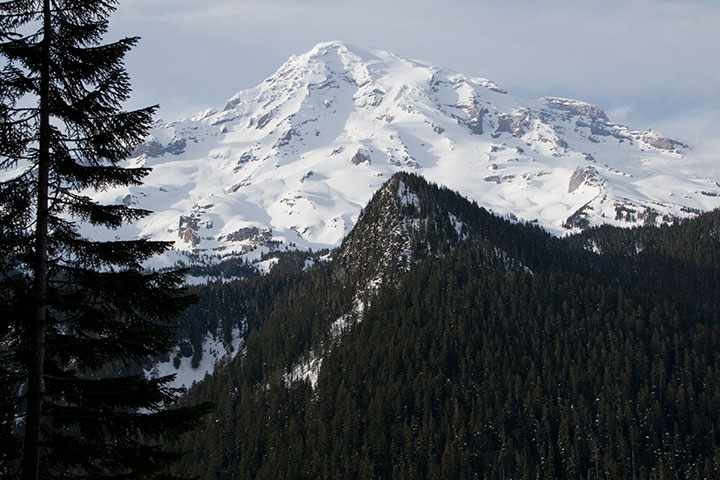
It was nice to think that if I wanted snow, I could come and get it whenever I wanted—without having to shovel my way out of it.

![Chandler O'Leary [logo]](https://chandleroleary.com/wp-content/themes/chandleroleary/images/logo.png)


