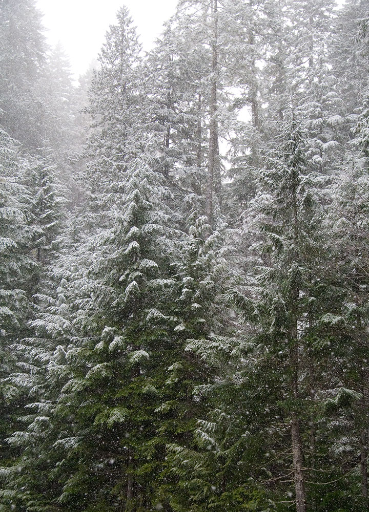
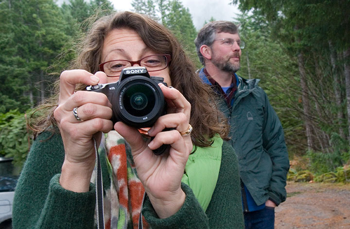
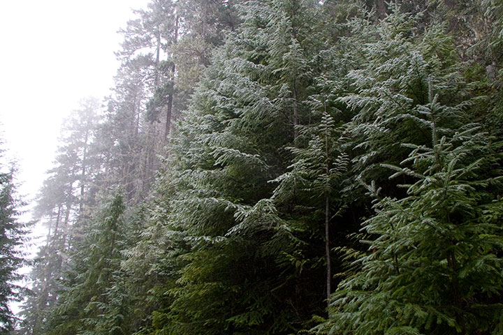
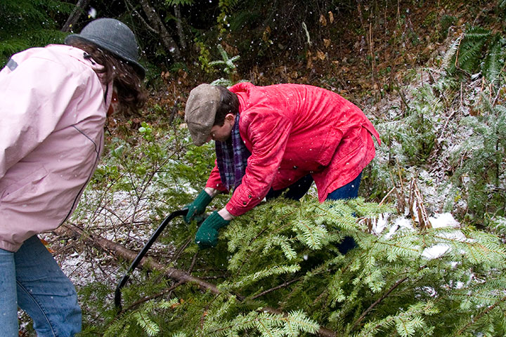
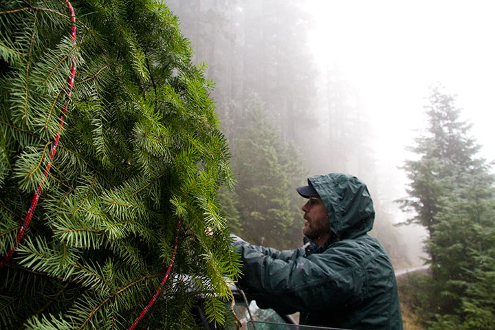
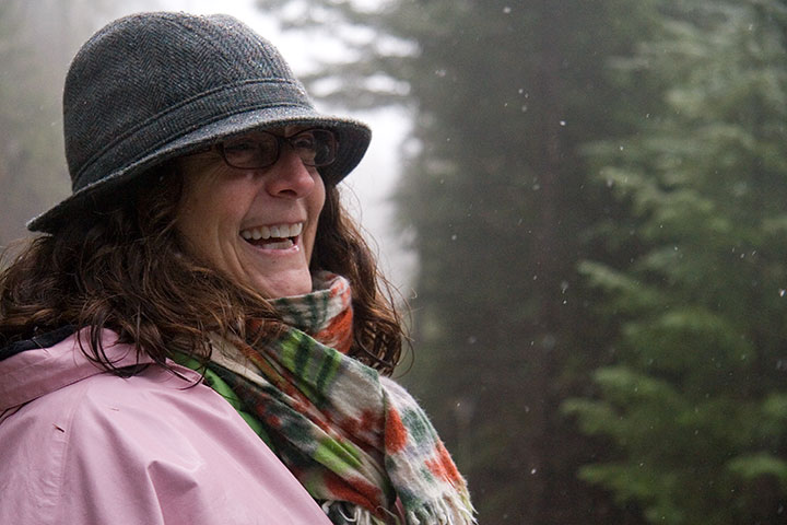
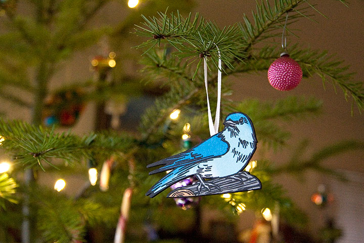
Snow falling on cedars
December 25th, 2011
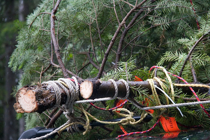
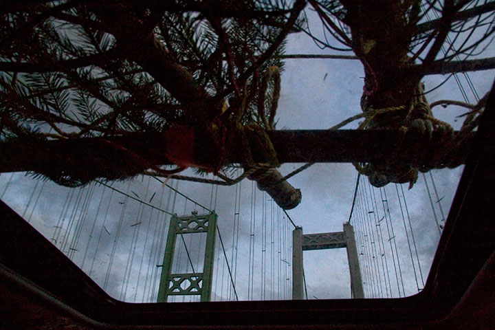
I love it when a journey is required to bring Christmas home.
Hoping yours is holly-jolly, merry and bright.
I love it when a journey is required to bring Christmas home.
Hoping yours is holly-jolly, merry and bright.
My goodness, how time flies.
As of this moment, I’ve been a Tacoman for exactly two years. Twenty-four months. Seven hundred thirty days. Seventeen thousand five hundred twenty hours.
And counting.
I’m hoping for several million more, because I’ve loved every one—thanks to you T-town folks. Guys, you’re awesome. And generous, to boot—I think I had a stroke or something when I picked up my copy of this week’s Weekly Volcano and found my name printed next to “Best Visual Artist.” Holy moley. Thank you for the vote of confidence—you’re inspiring me to git to work!
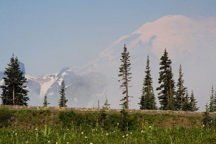
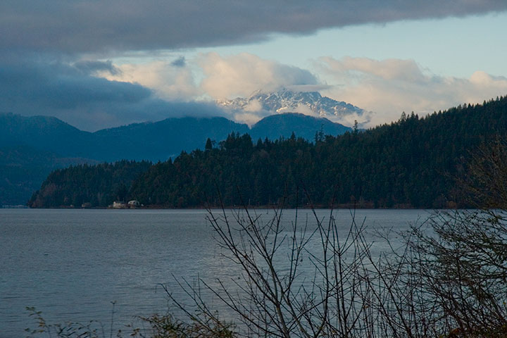
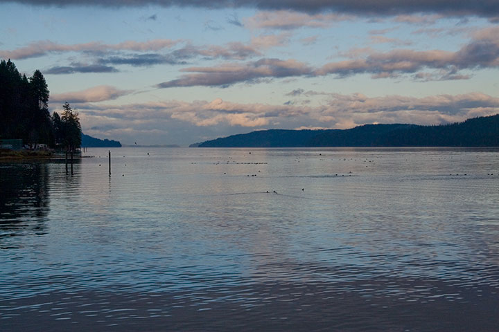
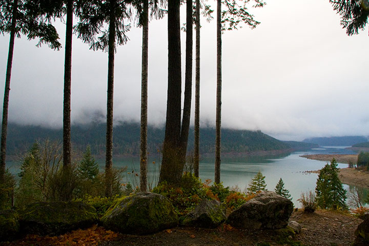
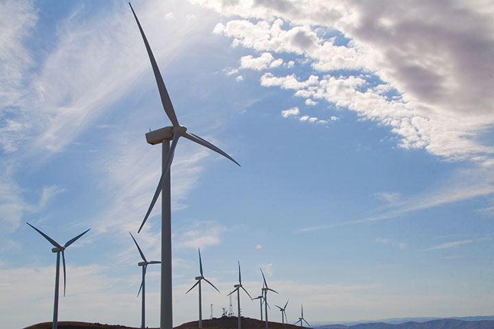
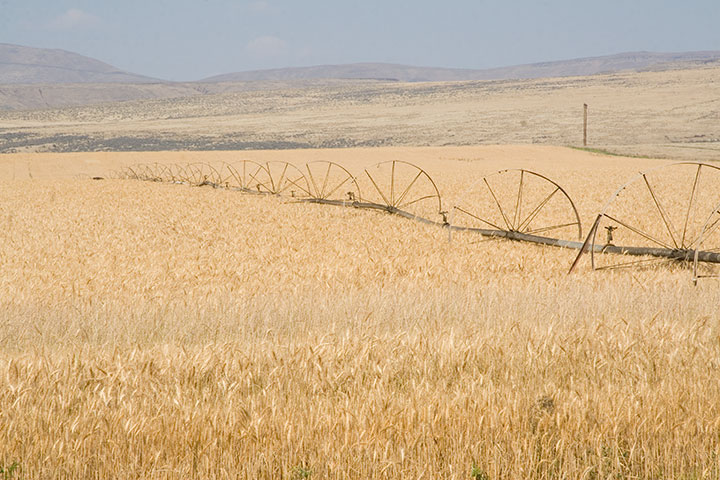
Speaking of work, which I’m not quite ready to show you yet, evidence of the past two years has been on the front burner lately. Since I first came up with the concept for my Mt. Rainier book, I’ve covered a lot of miles in our fair state. And above all else, what I love about the Pacific Northwest are the contrasts. From oceans to mountains, rain forests to deserts, farm fields to bustling cities—it’s hard sometimes to remember that all of this is close to home.
So before I get back to a little picture-drawin’ next week, I’ve compiled a smattering of photos taken since my last anniversary post to illustrate what I’m talking about.
In two years I’ve amassed nearly thirty thousand digital photos of the Northwest—and that’s just of the relatively small hunk of territory I’ve managed to cover in that time.
Here’s to the next thirty thousand photos, and the next seventeen thousand five hundred twenty hours—I wonder what they’ll bring.
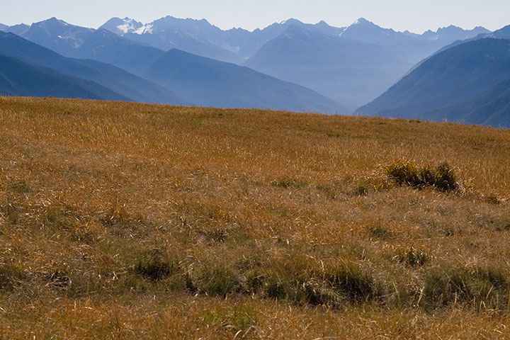
Since I’ll be a hermit for most of the rest of the year while I finish my Rainier book, I tried to sneak a little stolen summer vacation time into June. If I was going to lock myself indoors during our sunniest season, I wanted as many mountains, oceans, flowers and skies as I could cram into a week first.
For the first few days we had a couple of friends staying with us. Since one of them was visiting from Colorado, and wanted a change from the hot, dusty summer back home, we took a day trip to the Olympic Peninsula for a good dose of lush greenery.
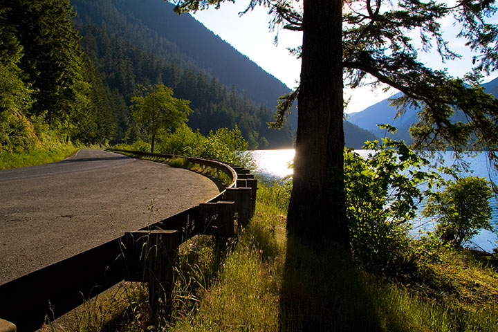
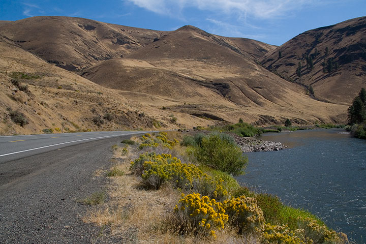
The West Coast highway, U.S. Route 101, ends with a 300-mile, two-lane meandering loop around the Peninsula. It’s the only thoroughfare on the entire Peninsula, and a treacherous road, full of hairpin curves, patches of fog, logging trucks and landslide-prone slopes—but the scenic beauty makes the drive a spectacular adventure.
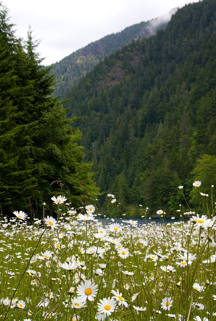
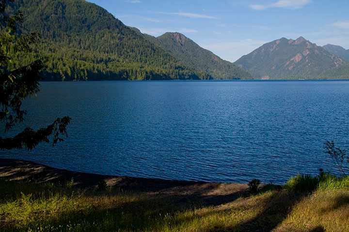
We took the northernmost leg of the road that day. Just west of Port Angeles it winds through a tunnel of trees as it hugs the shore of Lake Crescent, where we stopped for a picnic lunch beside the impossibly blue water.
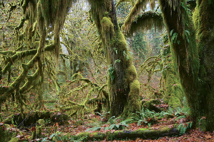
We were tempted to spend the whole day at the lake, but a bigger surprise lay down the road: the Hoh Rain Forest, one of the largest of America’s rare temperate rain forests. I’d also bet it’s the most beautiful—if it weren’t a four-hour drive away, I’d go every day.
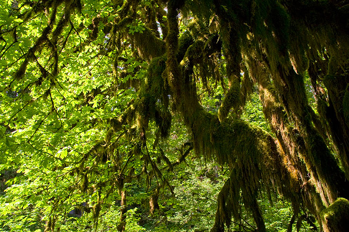
I had only ever seen the place in a downpour (big surprise—they get up to fourteen feet of rain and over 300 cloudy days a year), but as soon as we arrived that day … the sun came out.
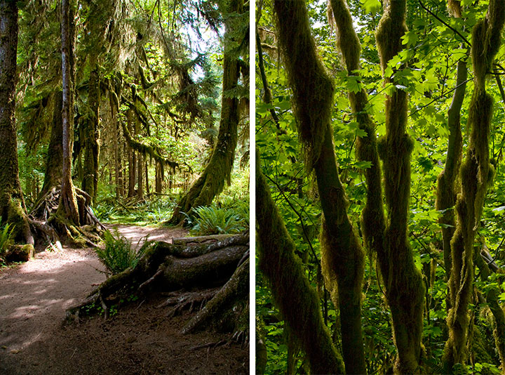
I almost didn’t recognize the place.
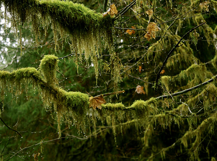
The last time I was there, droplets hung from every surface and everything shimmered with a gossamer silver glow.
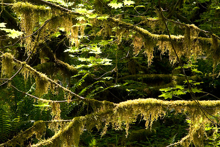
This time, the glow turned to spun gold and bottle green.
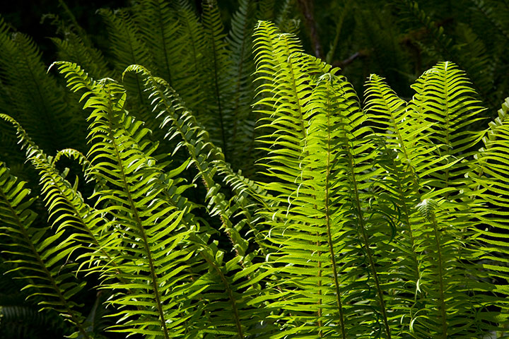
As always, though, every branch was festooned with cat-tail moss, and sword ferns carpeted the forest floor.
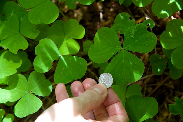
And the clover leaves were the biggest I’ve ever seen.
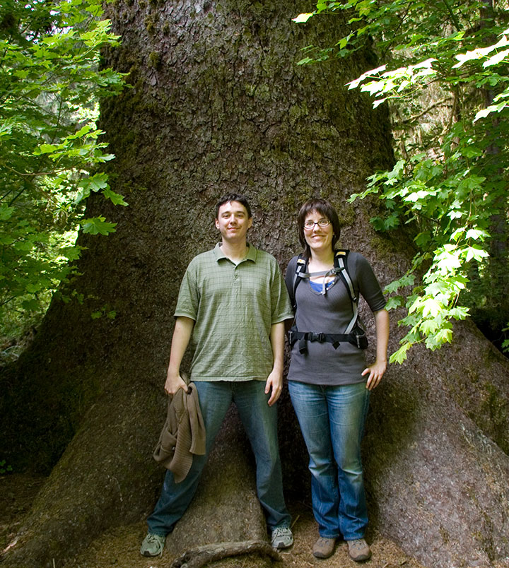
So were the trees.
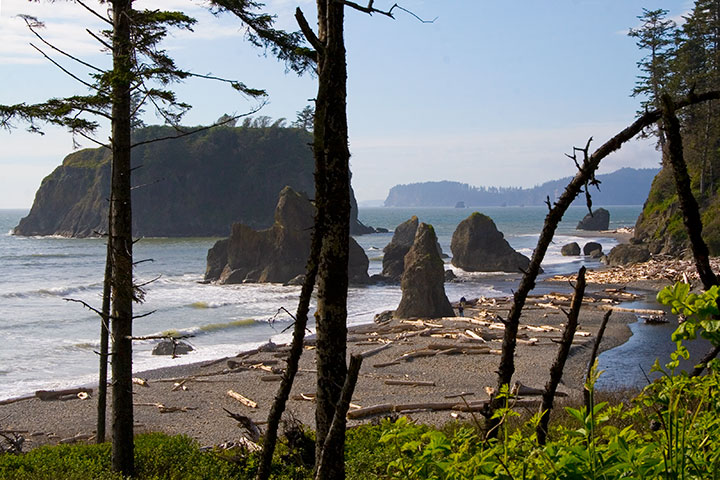
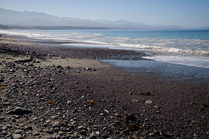
The best part about our road trip was the fact that it was nearly Midsummer; we still had hours of sunshine left to us. Next on the itinerary: Ruby Beach. It was a short hike down to the water, past Queen Anne’s lace and just-ripening salmonberries, with the roar of the Pacific ringing in our ears.
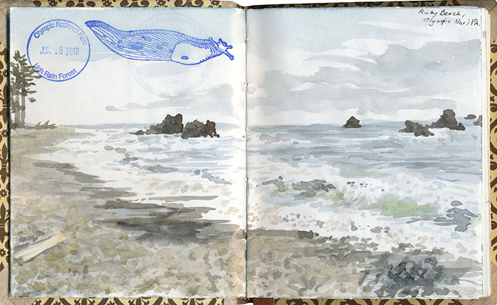
That bizarre stamp is still the only banana slug I’ve ever seen, alas. The search continues!
I sat down to do a watercolor,
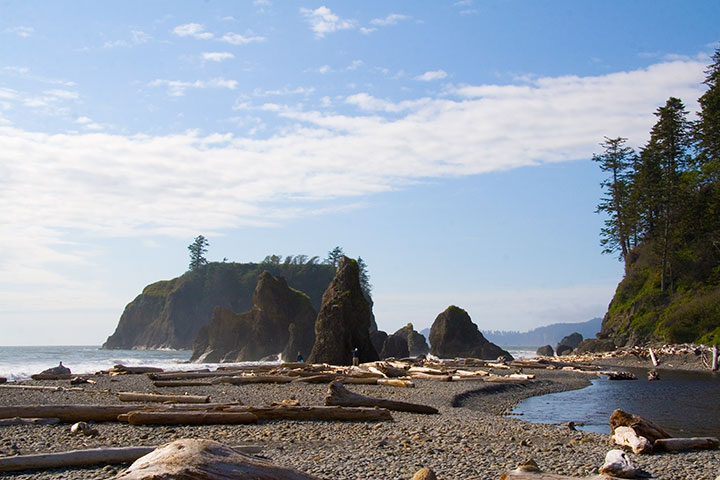
while Ethan moved along the shore to explore the sea stacks,
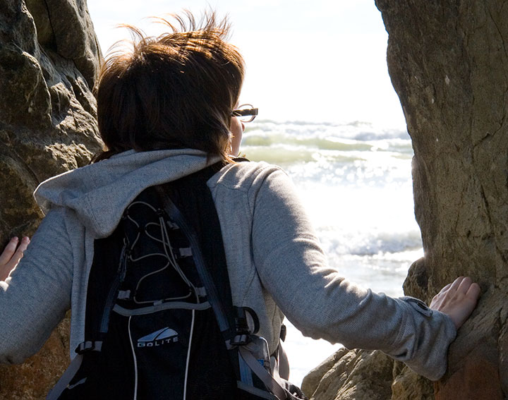
and Nicole stopped to take in the view.
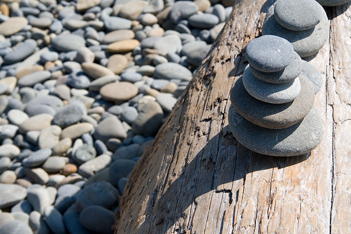
We made a quick contribution to the collection of obos on a nearby driftwood log, and set off for home.
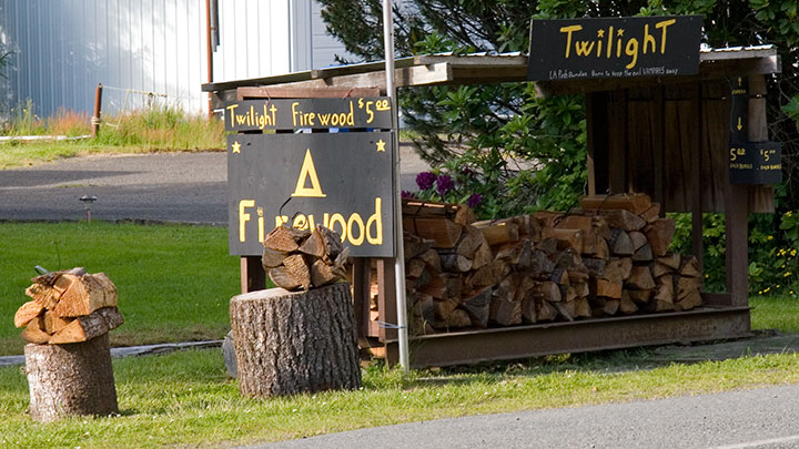
Yes. Twilight firewood. For setting those vampire books on fire, I think.
On the way back we stopped for a little absurdity. Route 101 passes through Forks, home of a certain infamous vampire series; we couldn’t resist stopping to take photos of the hilarious roadside tie-ins that had popped up since the last time I passed through. I’d never read the books, but when Nicole told me that these vampires only eschew sunlight because it makes them sparkle … well. My morbid curiosity got the better of me, and before I could stop myself, I read the whole blasted page-turning accident scene of a series the following week. Ugh.
And, uh, yeah. They sparkle. And whine and brood and mope. Curiosity satisfied.
I digress. Sorry.
By that point we were starving—but not in the mood for Twi-dogs or whatever punny food might be expected in a place with a name like Forks. So I suggested we hang on a little longer and head to Port Townsend, where I knew of a fantastic seafood restaurant.
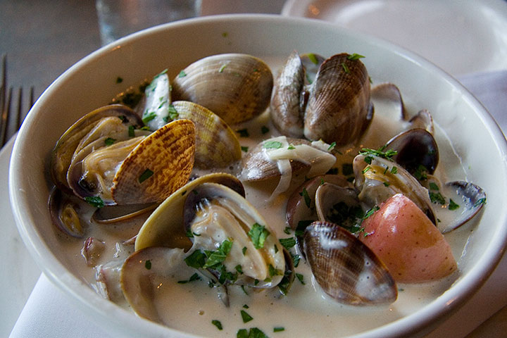
An hour later, we had traded Forks for spoons, and were digging into our bowls of the tastiest, freshest, localest carn-starn Manila clam chowder on the West Coast. And changing my definition of road food in the process.
Oh, who am I kidding? You know that whole trip was for the chowder, right?
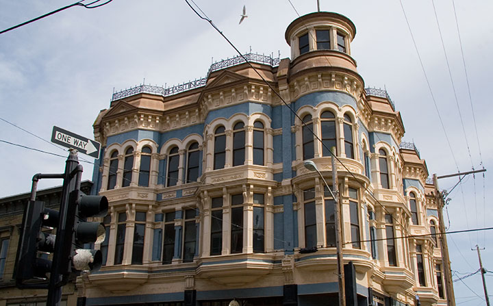
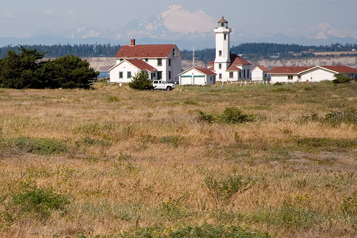
Today was just begging for a Sunday drive, Mother’s Day crowds be darned, so the Tailor and I moseyed up to another of my favorite haunts: Port Townsend.
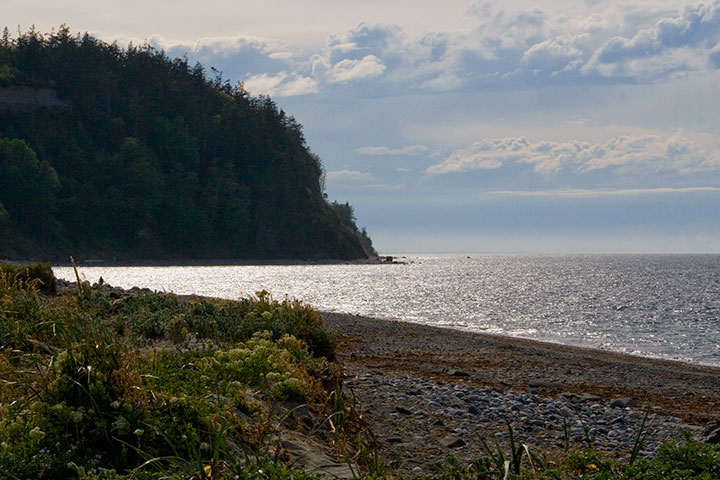
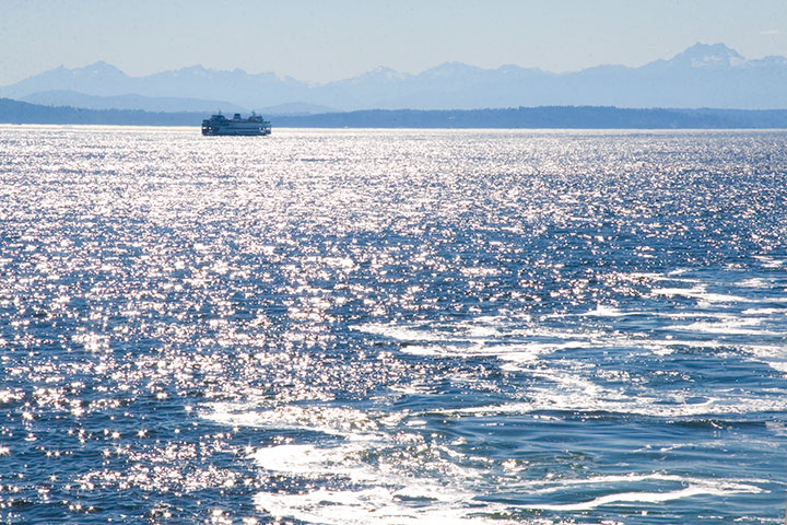
Port Townsend is located on the northeastern tip of the Olympic Peninsula (close on a map to but in reality very far from Cape Flattery) and guards Admiralty Inlet, where Puget Sound ends and the Straits of Juan de Fuca begin. It’s practically within shouting distance of Canada on one side (you can just make out the line of Vancouver Island along the horizon here), and lava-spewing range of Mt. Baker on another.
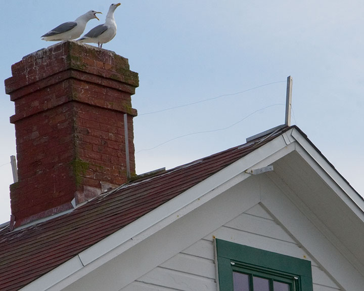
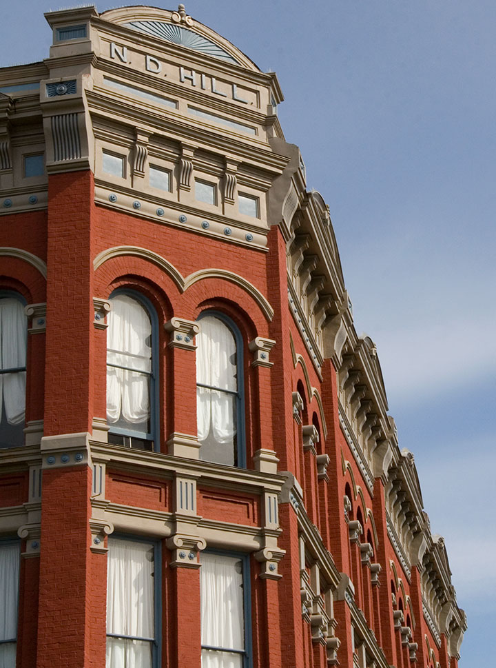
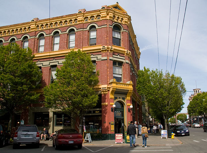
These days it’s a sleepy, semi-tourist town (thankfully it’s remote enough that it’s often possible to go without being mobbed by teeming hordes), home to both artists and seagulls, but at one time this place was hoppin’.
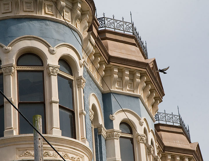
Its location made it an ideal military, trade, and shipping hub; Port Townsend was a prosperous and well-established seaport by the 1870s—nearly twenty years before Washington became a state. The town’s early boom afforded it a lavish and significant array of Victorian architecture—and once shipping fell out of favor there, its failure to develop a replacement industry (see above: remote) proved to be an accidental blessing of historical preservation. As a result, Port Townsend has an astonishing collection of Victorian houses and commercial buildings, and is one of only three seaports on the National Register of Historic Places.
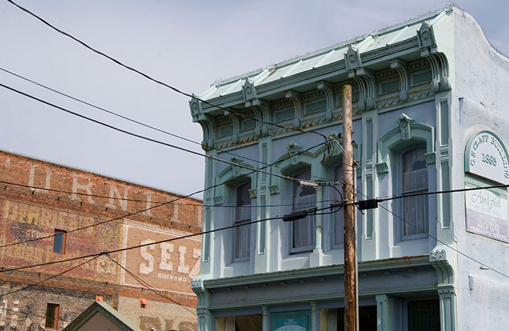
Beyond the architecture (which, don’t get me wrong, is the stuff of my dreams), what I love about this place is how lived-in it feels. It’s not a stage set, or an overgrown museum, like so many historic towns I’ve seen. Port Townsend feels comfortable, inviting, and absolutely real.
It reminds me of places like Durango, Colorado; Stillwater, Minnesota; Salem, Massachusetts—all places that have taken up permanent residency in my heart. Places with real, breathing history and still-current ordinary life.
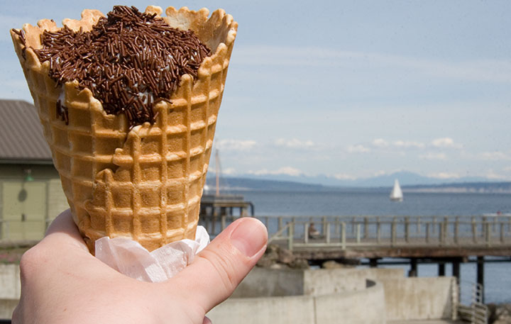
And I’m not even biased by the New England-authentic jimmies-coated ice cream cone I stumbled upon today—though the pitch-perfect nostalgia of my favorite childhood treat favorite-thing-in-the-whole-wide-world (which really can’t be found west of the Hudson, at least not completely slathered like this, and for which I nevertheless search tirelessly) made me happier than I can say.
Ahem. I digress. Big time. Port Townsend has one more beauty up its sleeve—although as it’s not on the beaten path, it’s easy to miss. The tippy-tip of the town’s little peninsula is occupied by Fort Worden, formerly an army installation (1890s to 1953) and now a state park. The gub’mint knew what it was doing with this one—they picked one of the loveliest and most strategically important chunks of real estate in the Pacific Northwest. I’m sure glad it belongs to all of us now—I think it’s better for flying kites than cannonballs anyway.
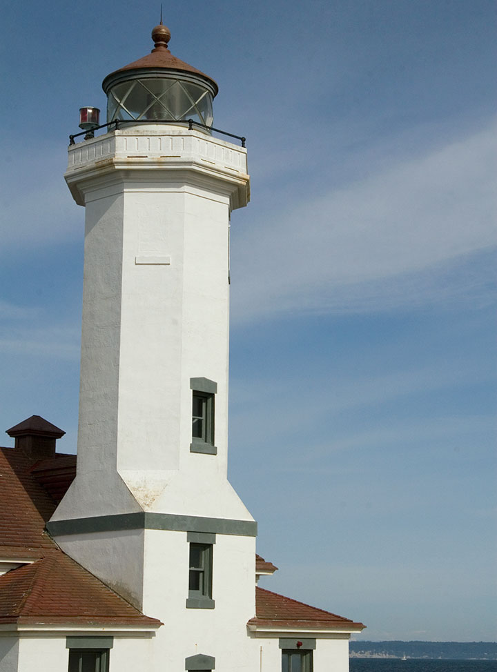
Fort Worden’s best feature, and the perfect climax to a day in Port Townsend, is Point Wilson Light, the tallest lighthouse on the Sound. This is one of my favorite spots to sit and watch the world go by, and today’s date reminded me that while we didn’t get to it on her recent visit, this is one spot that I think my mum would love, too.
Happy Mother’s Day, everyone! (And happy birthday, Dad!)
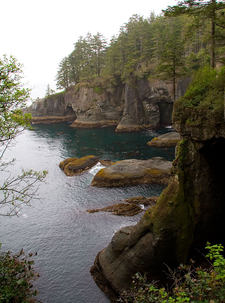
Item number 4,732 from the Bucket List:
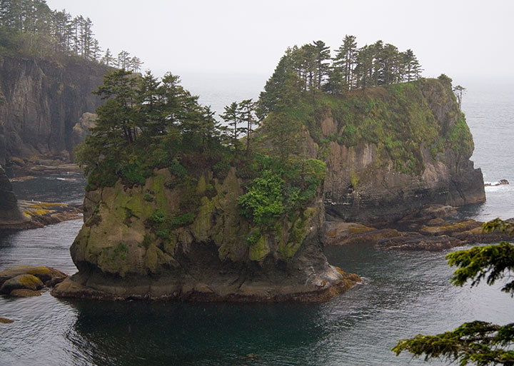
Hike to the very tippity-tip of Cape Flattery, the northwesternmost point of the continental United States.
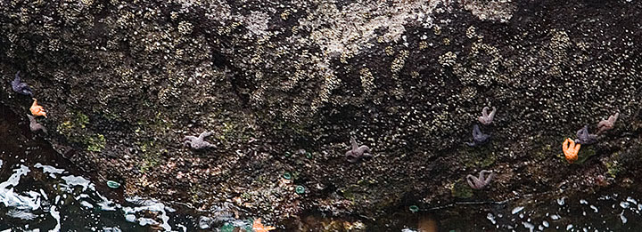
Stand leaning into the wind and rain, back to the trees, discovering how sea stars and cormorants spend their Mondays.
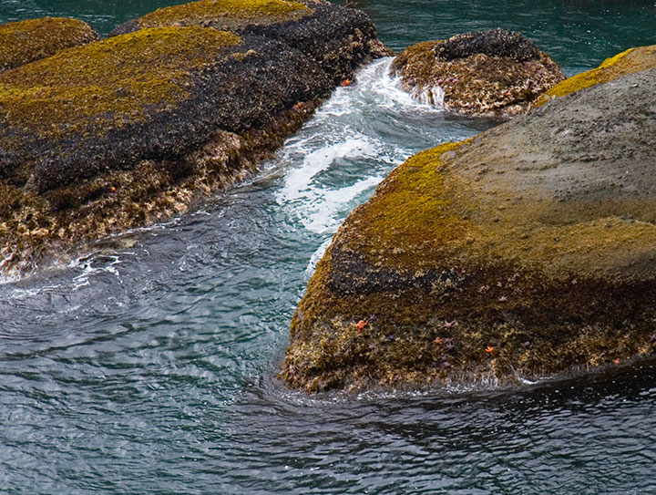
Gaze out to open sea with the spray crashing in your ears, erosion and subduction shaping the world beneath your very feet.
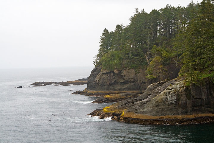
And marvel at all three thousand land-mass miles extending behind you.
Check.