Blog
August 15th, 2010
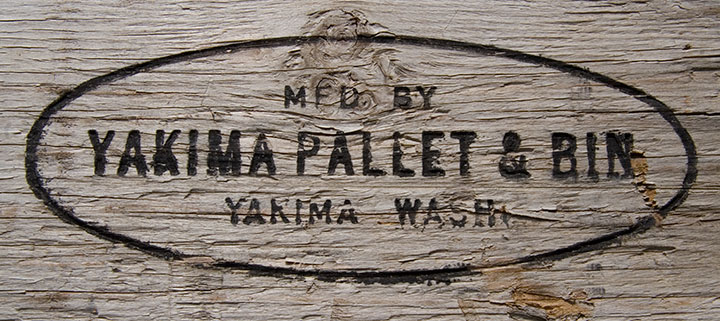
Earlier this month, my best friend Elizabeth flew in for a visit. Each time she’s come to town I’ve taken her to see a different part of the state—and since we’re in the middle of fruit season, this time we headed for the Yakima Valley.
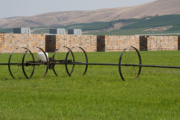
At this time of year, the roadsides are piled high with apple crates,
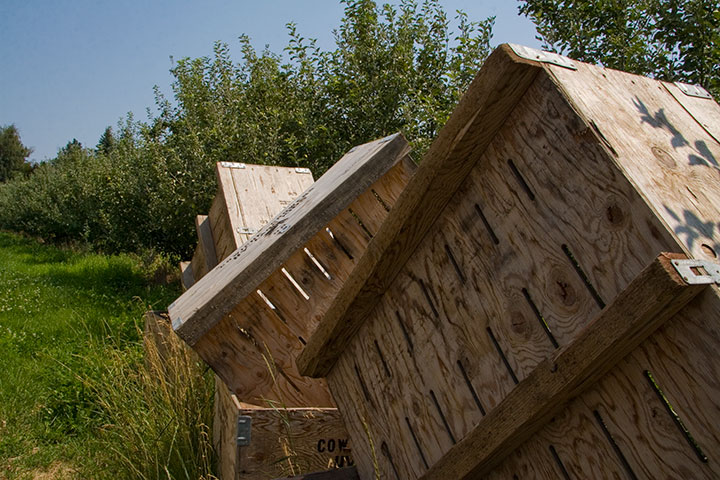
ready for the harvest that will begin in a few weeks.
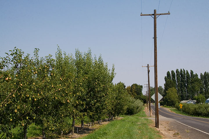
The pears seem to be a little closer—
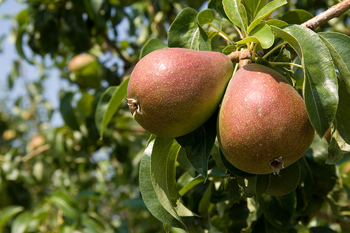
they’re ripening quite nicely.
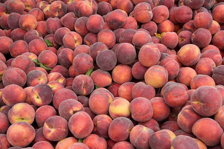
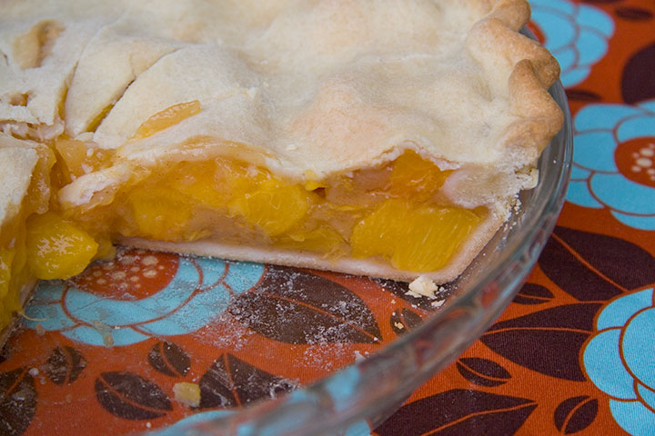
Right now, though, it’s peach season. The Tailor sent us on an errand for as much preserve-ready fruit as we could get our hands on—so I took him literally and brought home fifty pounds of Regina peaches,
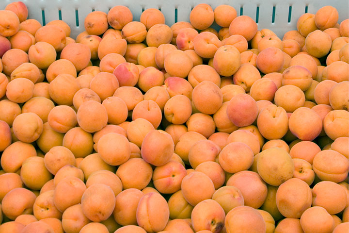
another fifty of Rival apricots,
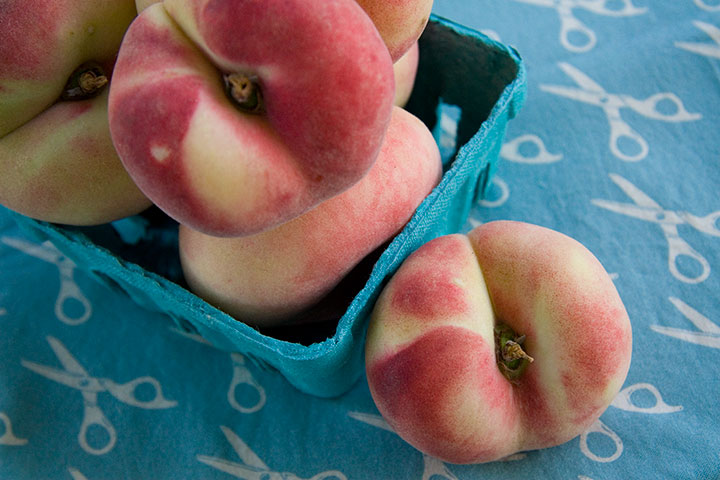
and a handful of beautiful donuts for a snack.
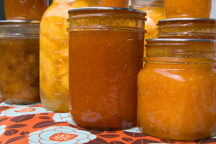
Once he got over his shock at the trunk full of fruit, and set aside a few peaches for the pie I had been begging for, the Tailor canned up an impressive array of preserves. From top left forward: peach jam; ginger-peach chutney (a collaboration with Jessica); sliced peaches in medium syrup; apricot jam; apricot sauce.
My favorite, and the one I can’t wait to taste with a little kugel:
Apricot Jam
(yield: about 10 half-pint jars)
– 2 quarts (8 cups) crushed, peeled apricots
– 6 cups sugar
Now, I’m not going to go into great detail about the whys and wherefores of home canning now, but if canning’s your thing, this will be old hat for you anyway. If not, and you’d like more specific instructions, I’d suggest our favorite resource: Putting Food By.
Anyway. Wash your jars in hot water (most books will tell you to sterilize them, but that’s what the hot water bath at the end is for). Keep the jars hot in a low oven (if you pour hot jam into cold jars, the glass can shatter), and the lids sterile in boiling water until ready to use.
Combine the apricots and sugar in a large stock pot. Slowly bring to a boil, stirring occasionally until the sugar dissolves. Cook at a rapid boil until thick (when the mixture reaches about 220° F, depending on your preference), about an hour, stirring frequently to prevent sticking or scorching.
When the mixture jells, pour it into the hot jars, leaving a 1/4-inch headspace in each. Wipe the jar rims with a clean cloth (any jam left on the rim will prevent the jar from sealing), attach lids, and tighten ring bands. Process in a boiling water bath for 5 minutes (longer if you live at high altitude).
Let cool for 12 hours before removing the ring bands. Store in a dark, dry, cool place.
(Or, if you just can’t wait, pop open a jar and have some toast ready.)
August 6th, 2010
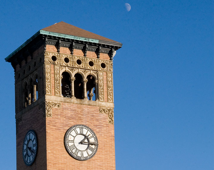
My goodness, how time flies.
As of this moment, I’ve been a Tacoman for exactly two years. Twenty-four months. Seven hundred thirty days. Seventeen thousand five hundred twenty hours.
And counting.
I’m hoping for several million more, because I’ve loved every one—thanks to you T-town folks. Guys, you’re awesome. And generous, to boot—I think I had a stroke or something when I picked up my copy of this week’s Weekly Volcano and found my name printed next to “Best Visual Artist.” Holy moley. Thank you for the vote of confidence—you’re inspiring me to git to work!
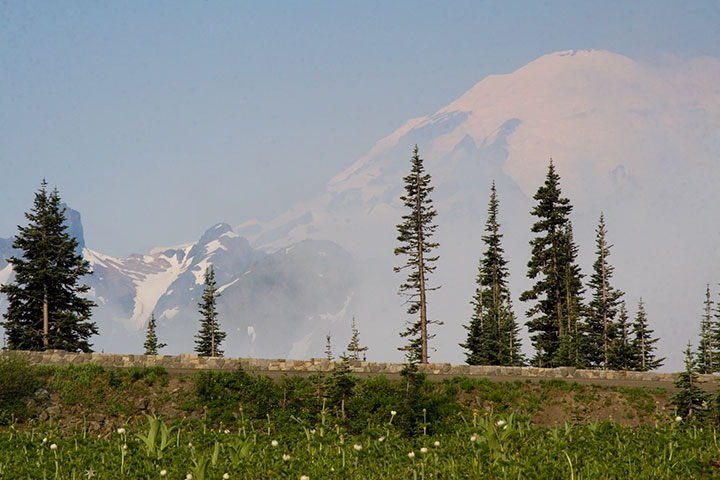
Speaking of work, which I’m not quite ready to show you yet, evidence of the past two years has been on the front burner lately. Since I first came up with the concept for my Mt. Rainier book, I’ve covered a lot of miles in our fair state. And above all else, what I love about the Pacific Northwest are the contrasts. From oceans to mountains, rain forests to deserts, farm fields to bustling cities—it’s hard sometimes to remember that all of this is close to home.
So before I get back to a little picture-drawin’ next week, I’ve compiled a smattering of photos taken since my last anniversary post to illustrate what I’m talking about.

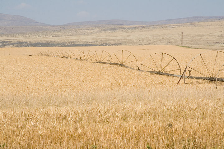
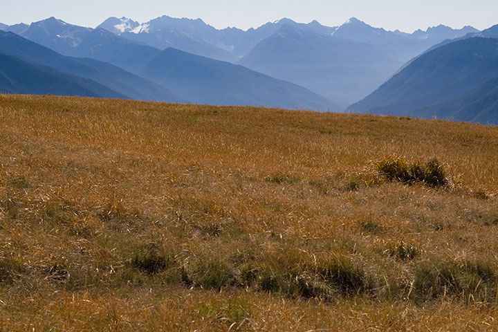
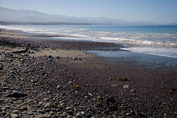
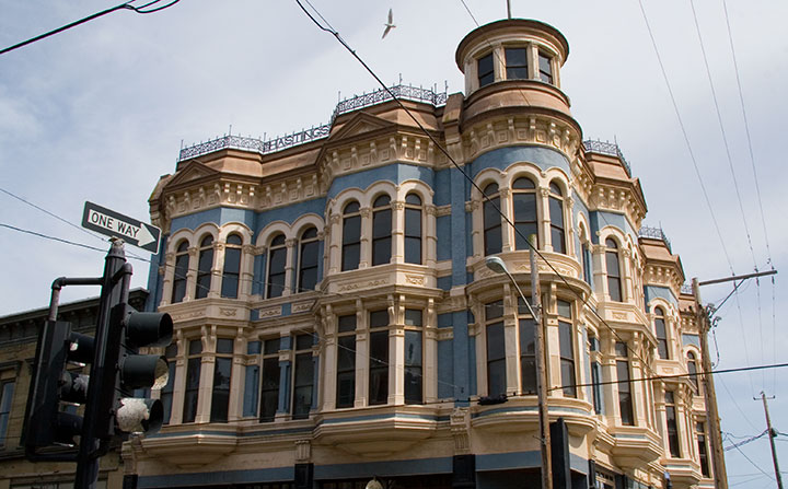
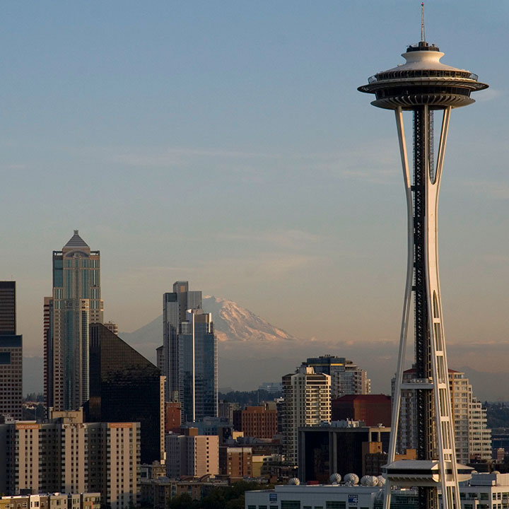
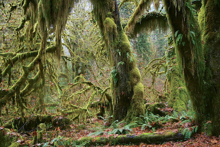
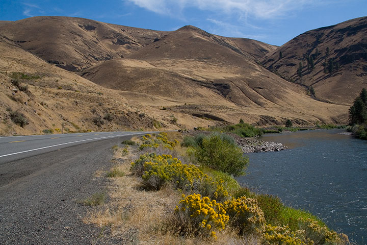
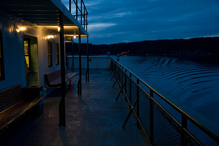
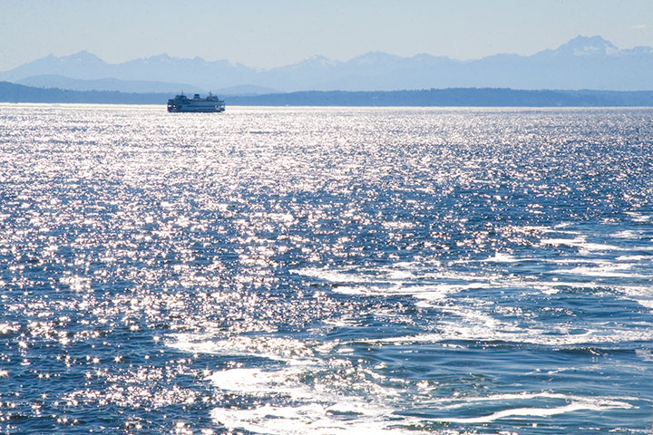
In two years I’ve amassed nearly thirty thousand digital photos of the Northwest—and that’s just of the relatively small hunk of territory I’ve managed to cover in that time.
Here’s to the next thirty thousand photos, and the next seventeen thousand five hundred twenty hours—I wonder what they’ll bring.
August 2nd, 2010
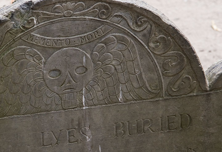
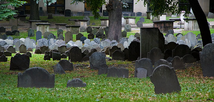
One of the things I used to do with Bampa is visit the colonial graveyards tucked away in every corner of New England. On this trip I only had time to visit a couple, so I picked my two favorites: the Old York Burial Ground in York, Maine;
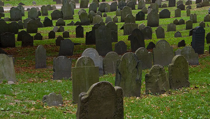
and the Granary Burying Ground in Boston.
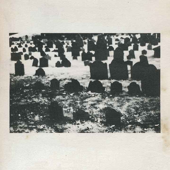
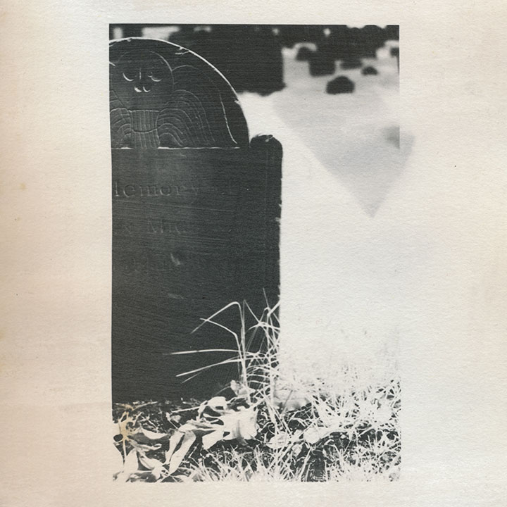
I’m quite a bit obsessed with these places; beyond my usual souvenir sketches and snapshots, these cemeteries keep popping in and out of my body of work. This is an excerpt from an artist book I made seven years ago. That’s not snow—it’s shot with infrared film, which behaves very differently from normal film when you do certain things with it. I used a dark red lens filter that blocked nearly all of the visible spectrum, so that the film was exposed mostly by ambient infrared radiation. The effect is that inanimate objects like stones read as deepest black,
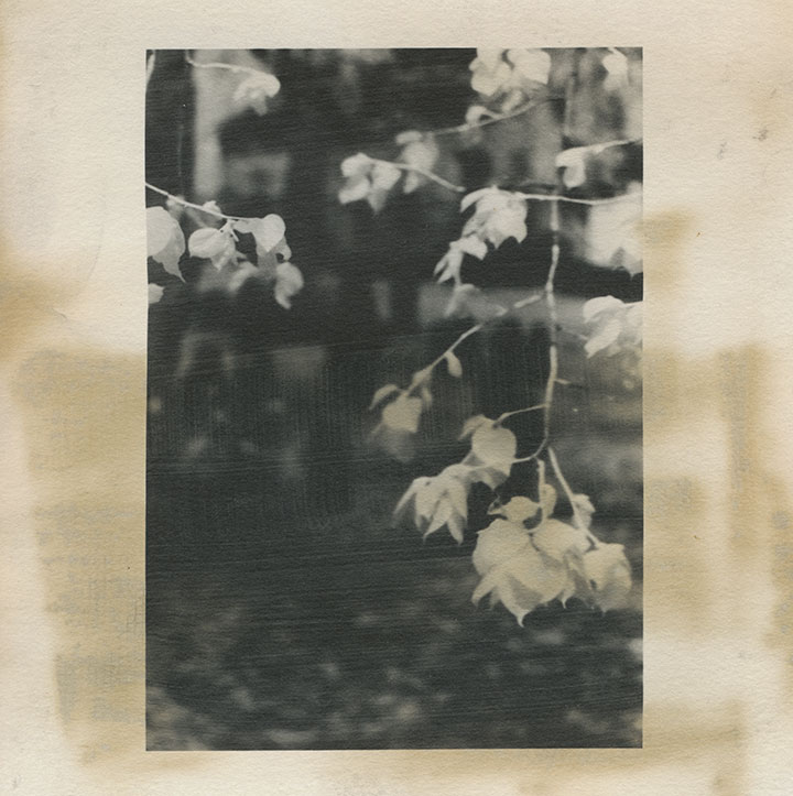
and plants and flesh turn to bright white. Somehow I thought that particular quirk paired well with the subject matter—that living things behaved very differently than…well, dead ones.
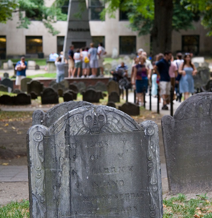
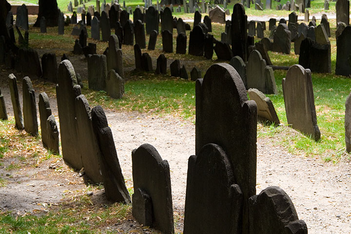
Despite the near-constant crowds (in Boston, at least) and the challenge they present to photographing, each is an oasis, a tranquil island within the bustling town or city.
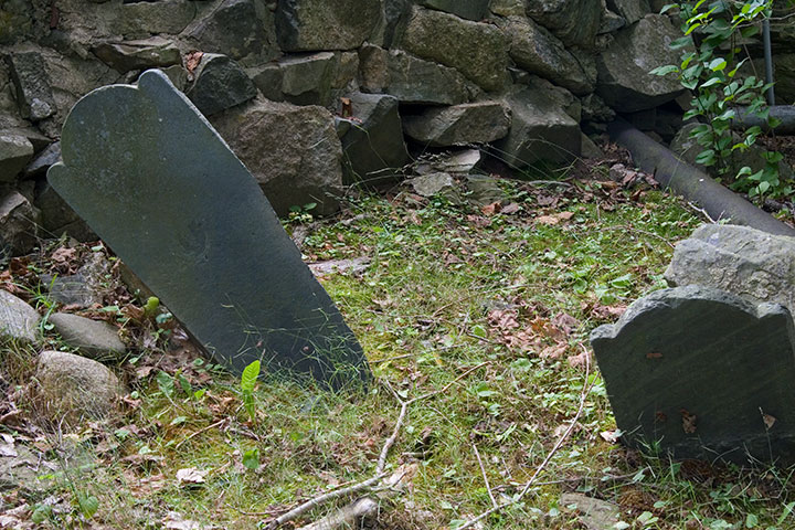
That’s not what draws me to them, though. Nor is it the haphazard scatter of wonky stones,
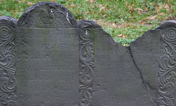
nor the romance of crumbling ruins.
(infrared film again)
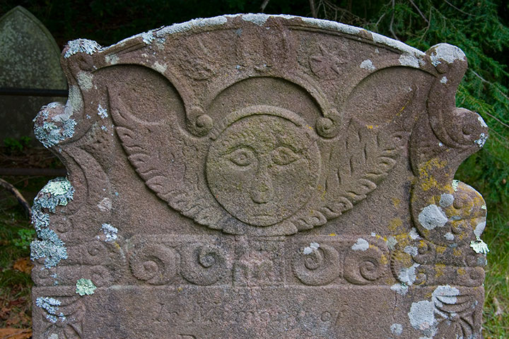
It’s that old gravestones are monumental (sorry) in the graphic design department. You can probably guess what my headstone might look like one day, because I’m completely fascinated with the design, the illustration, the typography displayed on colonial headstones. The “Death’s Head” or winged skull motif seems to be the most common,
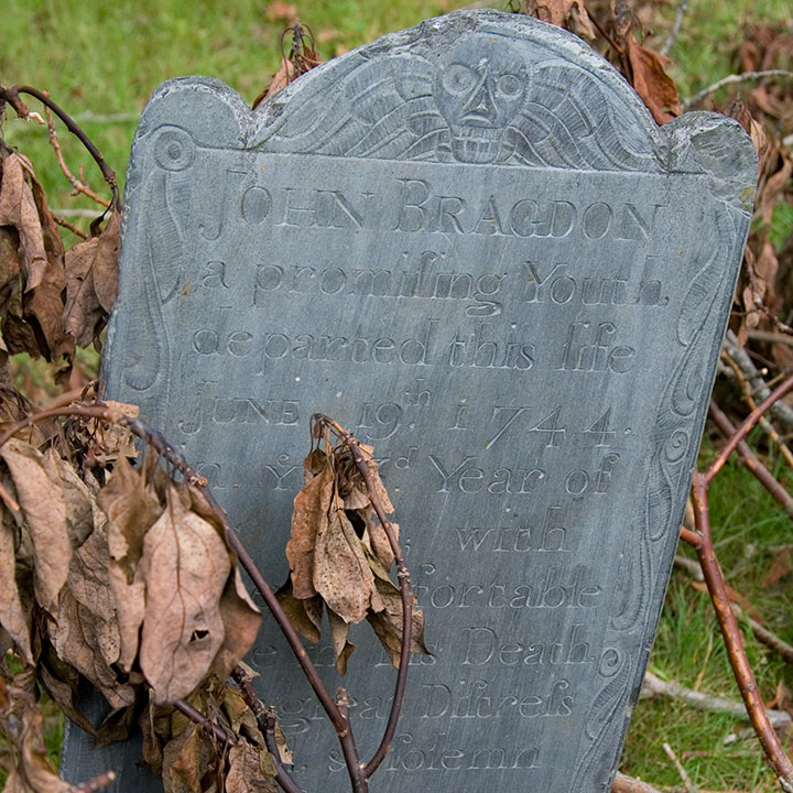
with many variations within the theme—
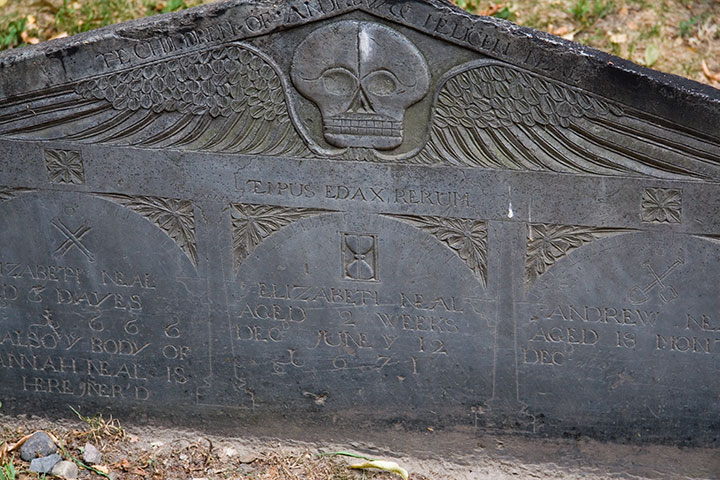
Quadruple grave, dated 1666-1671, of children who lived only “dayes” or months apiece
from refined,
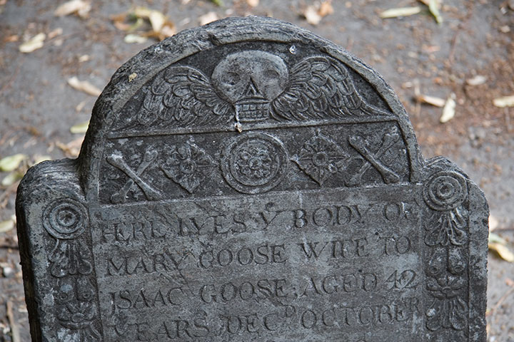
grave for a member of the Goose family, founders of the Mother Goose tradition
to folksy,

to somewhat disturbingly lifelike deathlike.
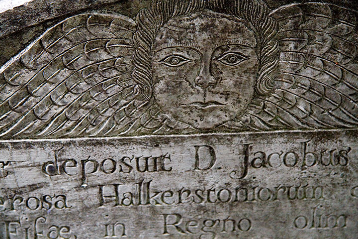
Another popular design is the “Winged Cherub,” which seems to be a more gentle alternative to the bones-n’-feathers motif.
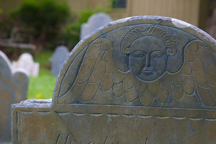
The carvers seemed to take even more artistic license with this theme; I lost count of all the different angel designs.
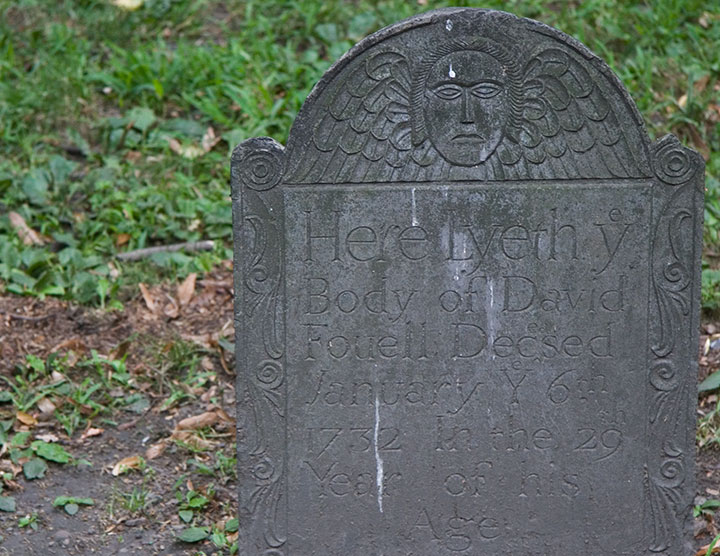
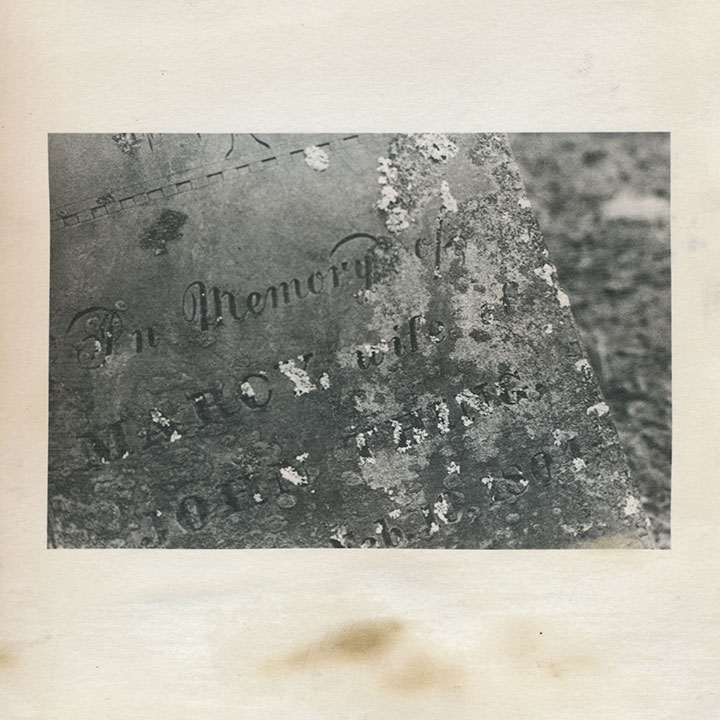
Skulls and cherubs aside, just as fun for the modern visitor is the engraved text. Typophiles will love all the script faces and lettering conventions (my favorite, below, is a mention of “November” set with “br” as superscript above a larger “Nov”),
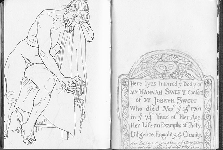
but I’m partial to the language—the poetic phrasings, the archaic spellings. Some excerpts, verbatim:
• “Here lyes interred ye body of Mrs. Hannah Sweet, confort of Mr. Joseph Sweet, who died Nov’br ye 15th 1761 in ye 74th year of her age.”
• “On His unfailing promises rely / and all the horrors of the Grave defy”
• “… Jotham Bush of Shrewƒbury, who departed this life with the Small-Pox”
• “In memory of Mrs. Elizabeth Hurd, amiable & virtuous confort of John Hurd, Esq.”
• “Farervell Vain World, I have Enough of thee / and now I’m Careles what thou Say’st of me”
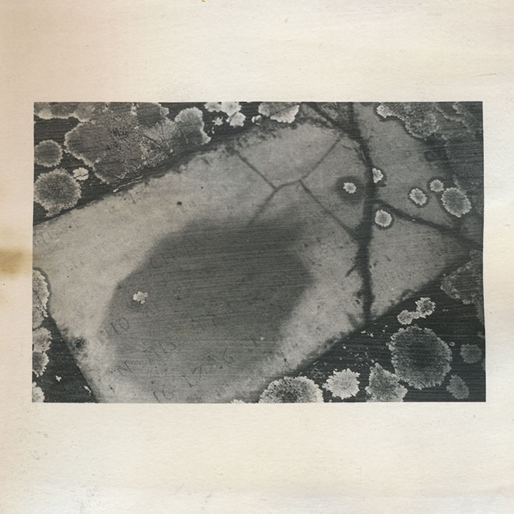
My little artist book has developed an unexpected conceptual element. I first coated the paper myself with liquid emulsion to make it light-sensitive (instead of using standard photo paper), then processed the images in a darkroom with the usual chemicals. By doing that, I was veering away from the traditional darkroom process, and adding some interesting variables, risks and imperfections into the mix. Most noticeably, the fixer reacted a little oddly with the emulsion/paper—a fact that irked me greatly at the time, since there was no way to know it had happened until the images were finished.
Over the years, however, the splotches have darkened, creating the illusion of old age and mirroring the weathering, decay and moss growth of the graves themselves.
So despite my perfectionist nature and my usual complex over making everything as archival as possible—I like the book so much better this way.
After all, it’s all the same in four hundred years anyway, isn’t it?
July 29th, 2010
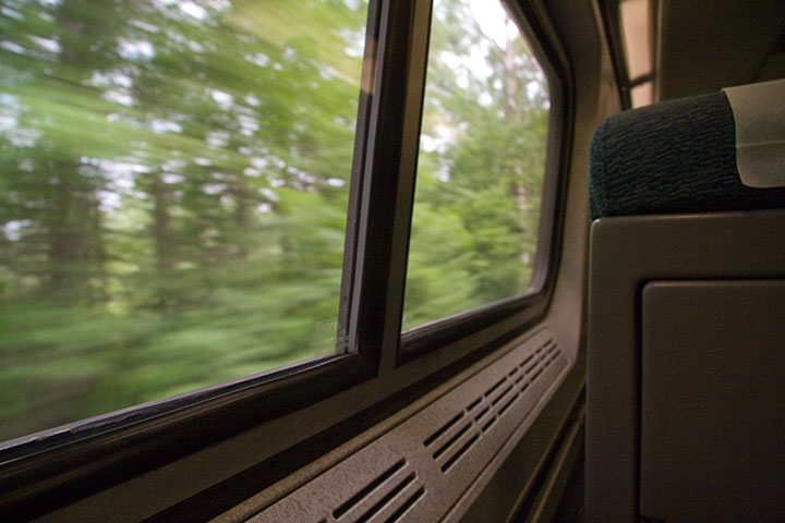
At the end of a whirlwind trip that still hadn’t quite sunk in, I wanted a long, solo walk to clear my head before my flight home. So I got on the 8:57 Downeaster to Boston, and spent the remaining four hours before I had to get to the airport walking a familiar radius of old haunts.
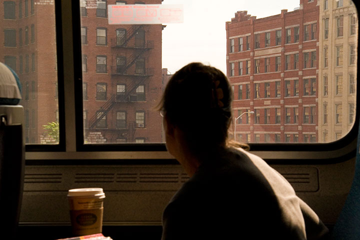
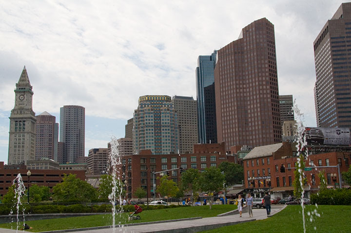
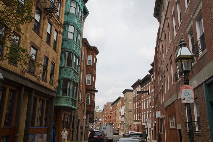
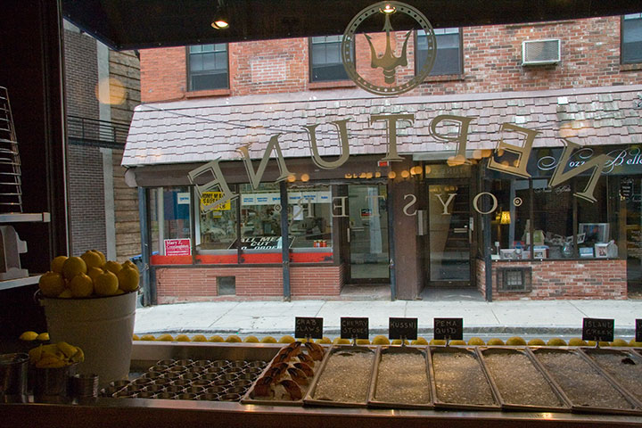
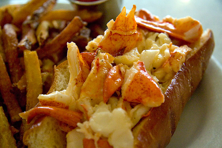
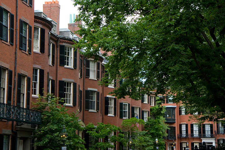
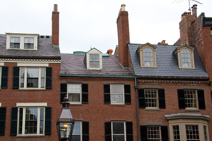
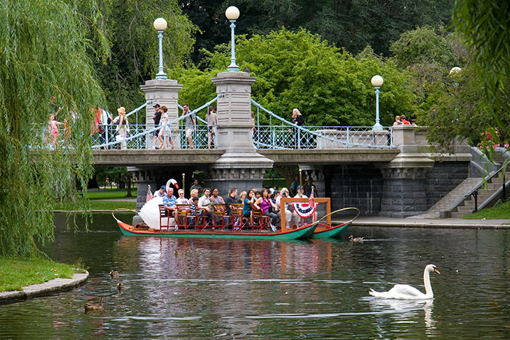
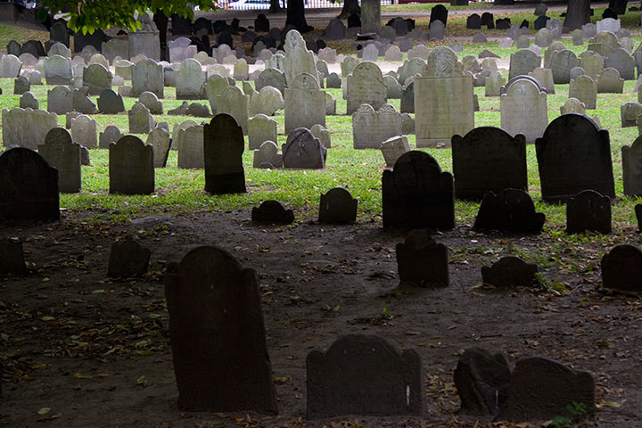
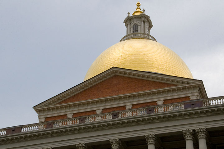
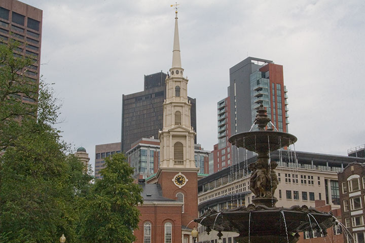
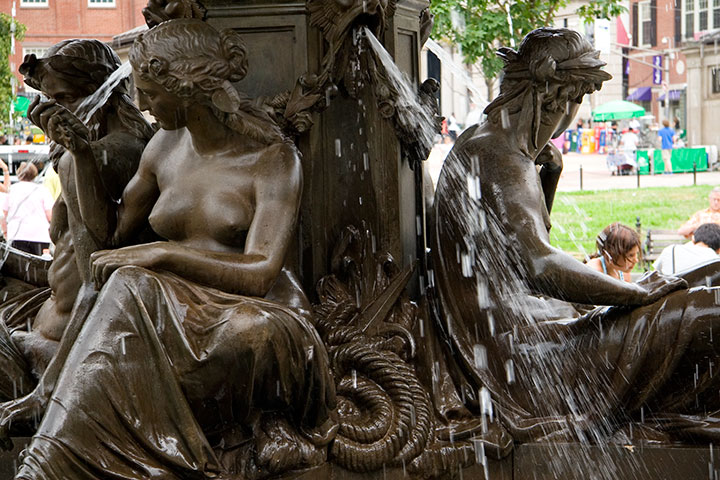
Then it was back on the train again, off to catch my flight. I love the Blue Line because it doesn’t stop at “AIRPORT,” and because it’s my favorite metaphor for Boston. I don’t mind the traffic, or the grime, or the expense, or the often-lousy weather—because at the end of all of that is Wonderland.

July 25th, 2010
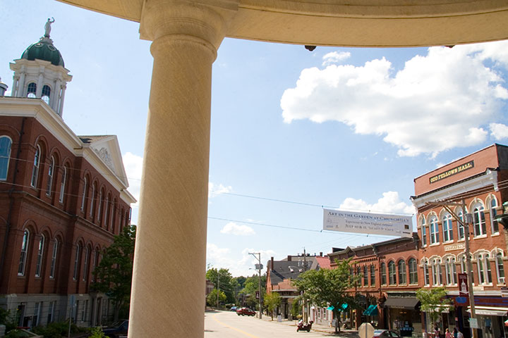
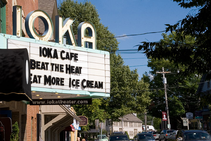
All this talk of stolen vacations, and all I had to do was wait another week. Well, maybe not for a vacation, per se, but certainly a change of scenery. My mother called to let me know that my grandfather, who lived in Exeter, NH, was entering hospice care. Before I knew it, I was on a plane back East. For the first time in my life, it felt like going away rather than going home, but my roots are here nonetheless. So between visits with Bampa, I took a Yankee trip down memory lane.
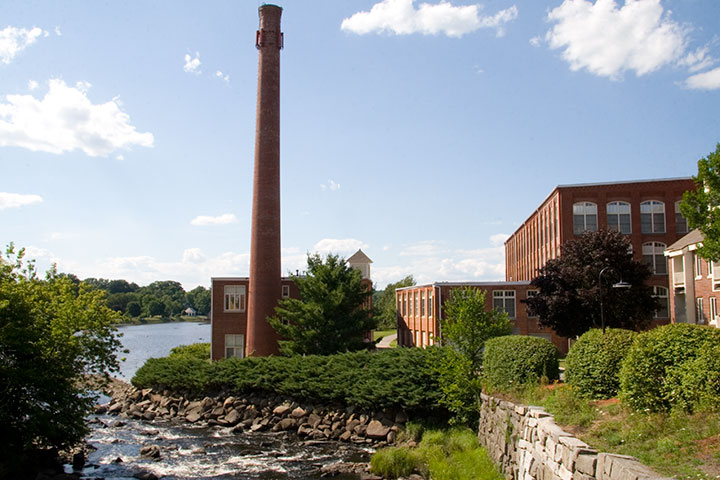
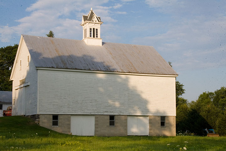
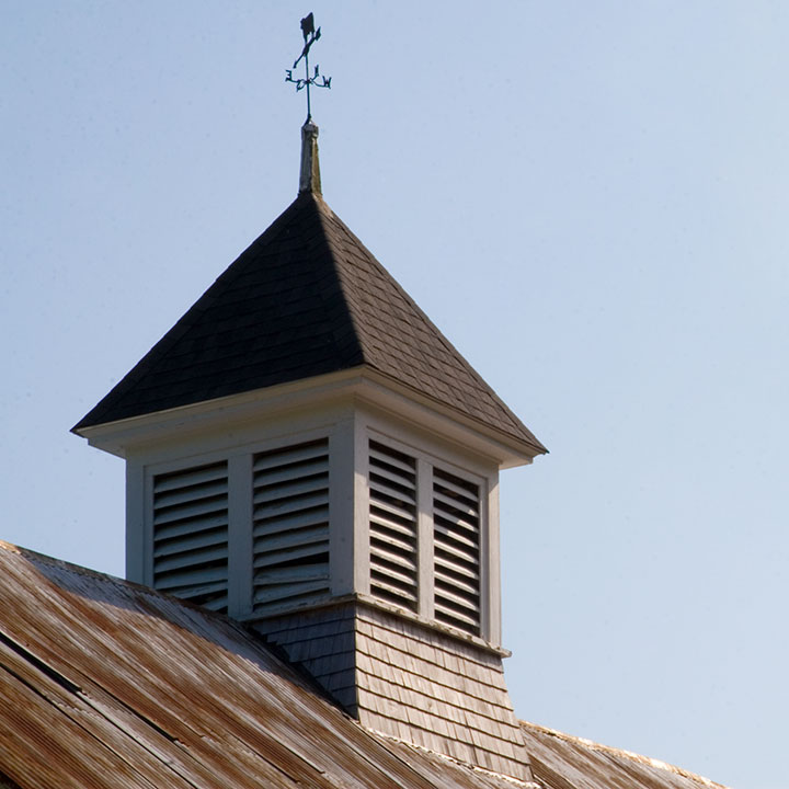
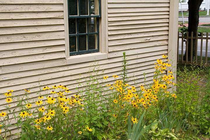
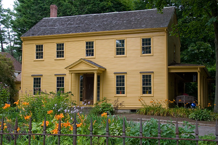
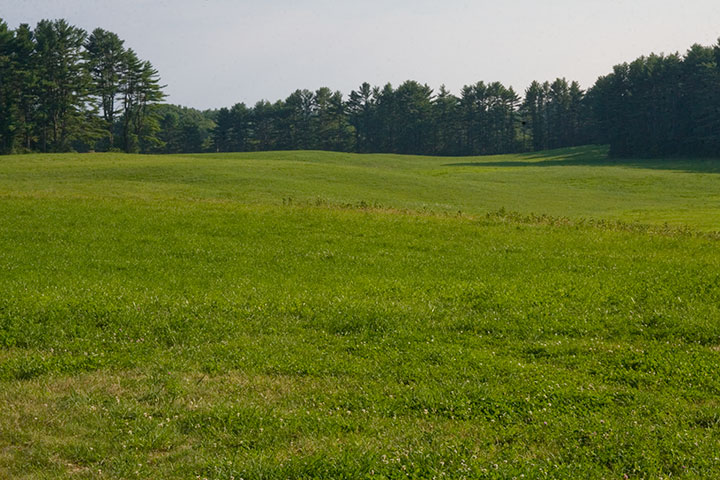
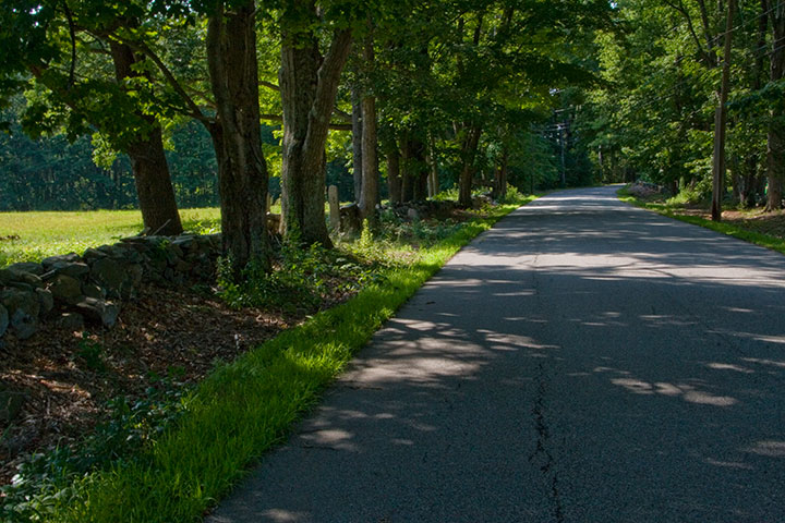
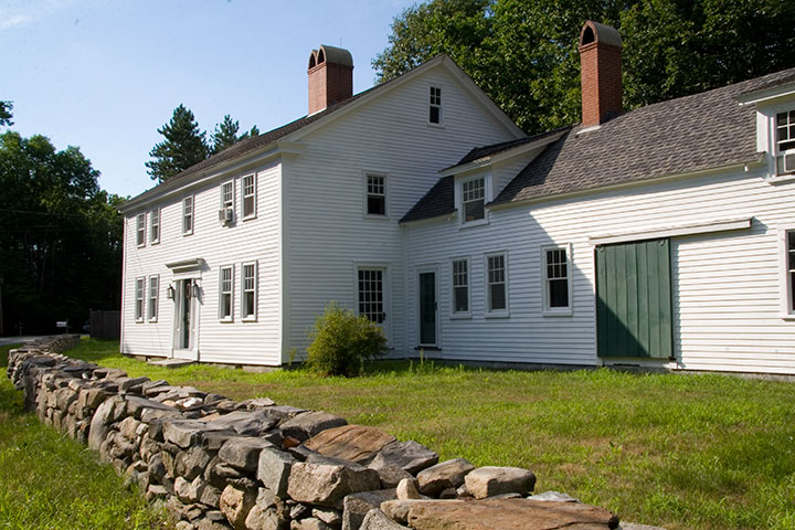
The parts of New England that trigger the most memories for me are the stone walls. Criss-crossing the woods and fields like seams, the walls are some of the oldest remnants of Colonial culture—demarcating property boundaries and connecting living New England with its past. And every time I go back, New Hampshire’s own Robert Frost recites in my head:
Mending Wall
Something there is that doesn’t love a wall,
That sends the frozen-ground-swell under it,
And spills the upper boulders in the sun,
And makes gaps even two can pass abreast.
The work of hunters is another thing:
I have come after them and made repair
Where they have left not one stone on a stone,
But they would have the rabbit out of hiding,
To please the yelping dogs. The gaps I mean,
No one has seen them made or heard them made,
But at spring mending-time we find them there.
I let my neighbor know beyond the hill;
And on a day we meet to walk the line
And set the wall between us once again.
We keep the wall between us as we go.
To each the boulders that have fallen to each.
And some are loaves and some so nearly balls
We have to use a spell to make them balance:
‘Stay where you are until our backs are turned!’
We wear our fingers rough with handling them.
Oh, just another kind of out-door game,
One on a side. It comes to little more:
There where it is we do not need the wall:
He is all pine and I am apple orchard.
My apple trees will never get across
And eat the cones under his pines, I tell him.
He only says, ‘Good fences make good neighbors’.
Spring is the mischief in me, and I wonder
If I could put a notion in his head:
‘Why do they make good neighbors? Isn’t it
Where there are cows?
But here there are no cows.
Before I built a wall I’d ask to know
What I was walling in or walling out,
And to whom I was like to give offence.
Something there is that doesn’t love a wall,
That wants it down.’ I could say ‘Elves’ to him,
But it’s not elves exactly, and I’d rather
He said it for himself. I see him there
Bringing a stone grasped firmly by the top
In each hand, like an old-stone savage armed.
He moves in darkness as it seems to me~
Not of woods only and the shade of trees.
He will not go behind his father’s saying,
And he likes having thought of it so well
He says again, “Good fences make good neighbors.”
July 17th, 2010
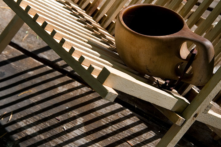
The second part of my little stolen holiday was a little more ambitious: a four-night camping trip with the Tailor in southern Oregon. It was just what the doctor ordered—the perfect prescription for recharging the soul.
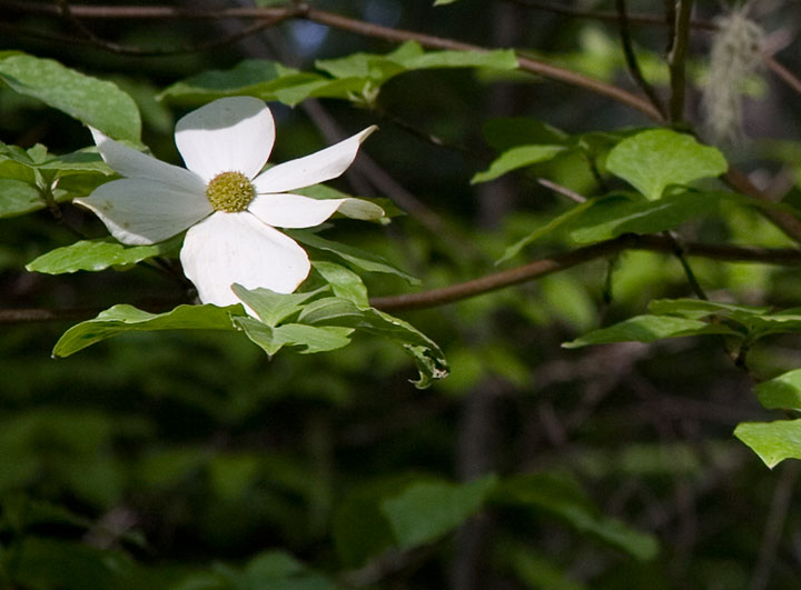
We camped in the Rogue River National Forest, in a grove of hemlocks and blooming dogwoods, just downstream from this:
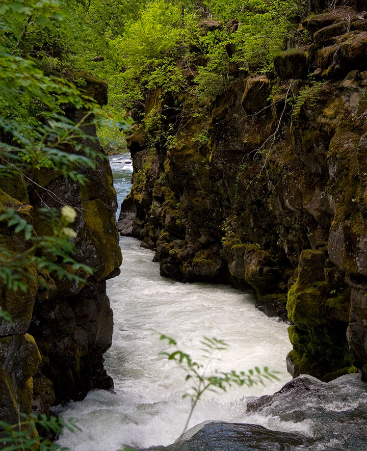
The Rogue is so beautiful that we could have spent the whole trip exploring its banks. Well, if we hadn’t had another destination in mind, that is:
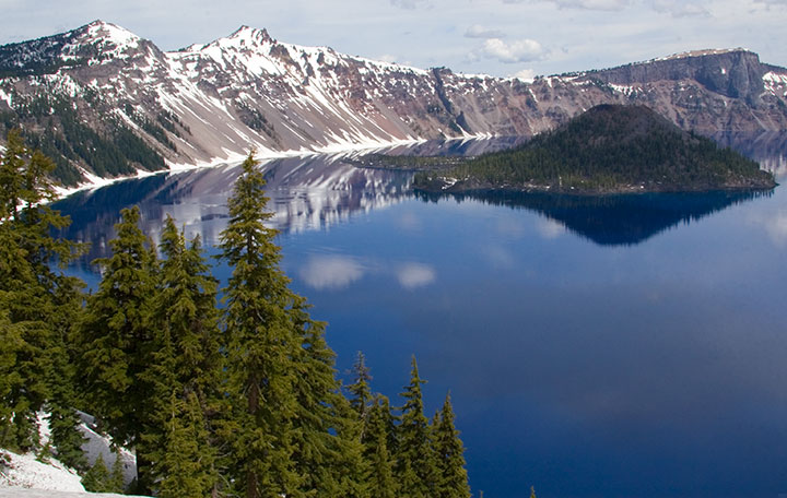
Crater Lake National Park. One of the deepest, clearest lakes in the world, Crater Lake was formed 7,700 years ago by the collapse of Mt. Mazama, after an explosion more than forty times the size of the 1980 eruption of Mt. St. Helens.
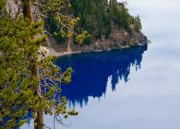
When a group of prospectors stumbled upon it in 1853, and thus became the first white folks to lay eyes on it, they named it Deep Blue Lake. Heh. You can tell they worked hard to come up with that one. Well, at least it’s descriptive.
And accurate. The lake is so impossibly blue because of its depth; when the sun’s rays refract upon hitting the water, red and green light are absorbed in the depths, while only the blue light (which has a shorter wavelength) reflects back to the surface. So the lake is blue even on a cloudy day—as you can see.
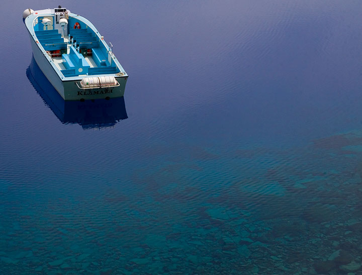
We were a week too early for the boat tours to open for the season, but we hiked down to the water anyway. The rangers like to say that the trail is “one mile down, ten miles back up” (it’s funny because it’s true. Oy.), but the experience is well worth the huffing and puffing. Next time I’ll bring bug spray, though. Note to self.
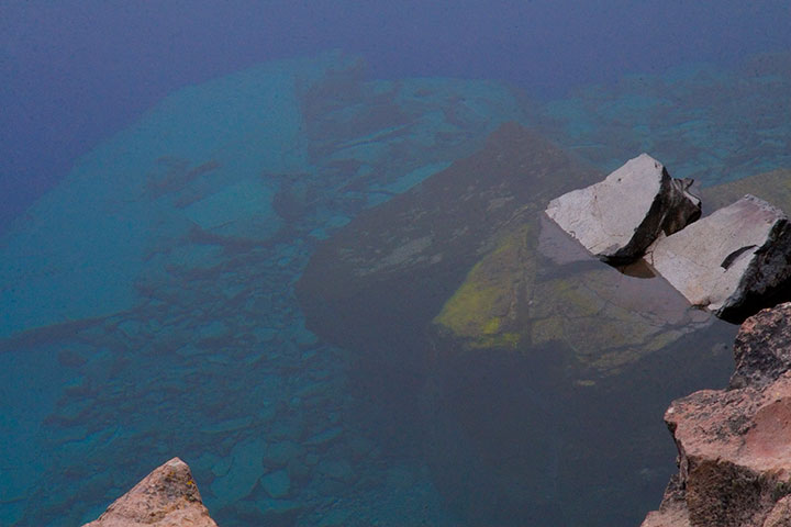
Did I mention that it’s blue? And deep? Maybe those prospectors were onto something.
The photo above doesn’t come close to doing it justice (none of my photos do), but the sheer depth and clarity of Crater Lake was mind-boggling. It’s impossible to tell how deep the rocks in the upper left corner of the photo are, but according to the topo map in front of me, it’s quite a ways down. Because there are no streams in or out of Crater Lake, there’s nothing to muddy or disturb the water—objects are visible nearly 150 feet down. Deep Blue indeed.
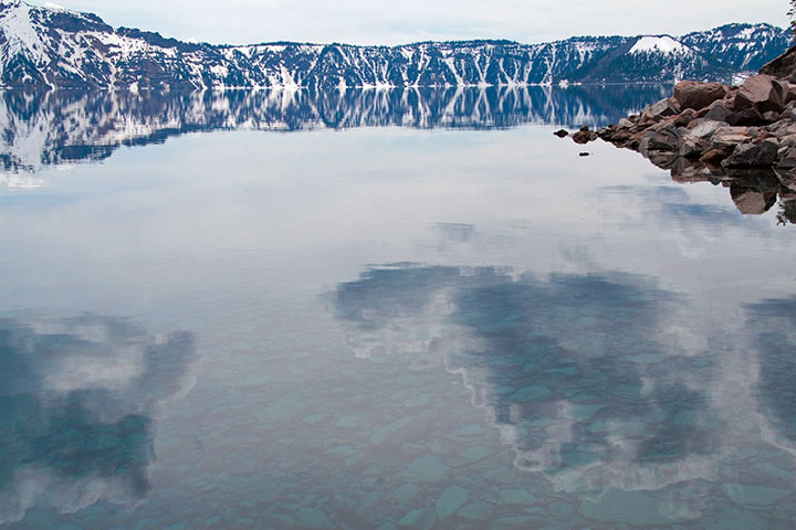
The thing that really got to me was the fact that the lake was both a bottomless pit and a perfectly-flat mirror, depending on which way you looked at it. That’s probably why this is my favorite photo of the trip—somehow the camera managed to look at things both ways.
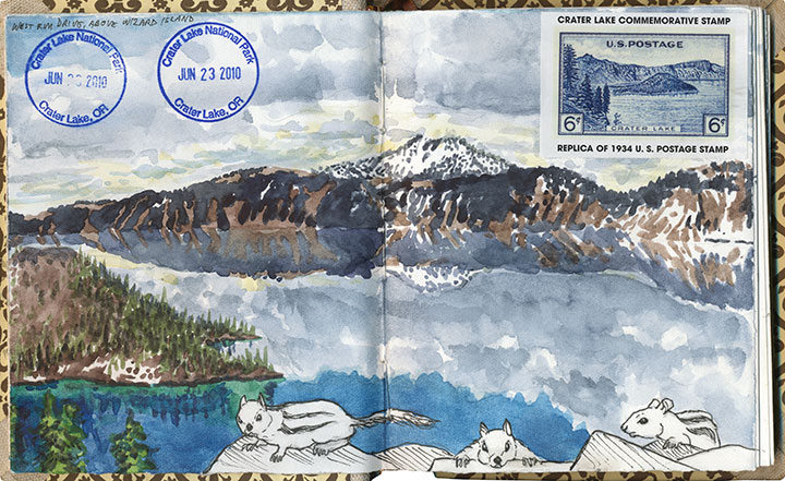
I think I must have been trying for the same kind of perspective with this drawing—and with far less success, I’m afraid. My brain broke when I tried to analyze the thing graphically. Ah, well. (The ground squirrels were fun, though.)
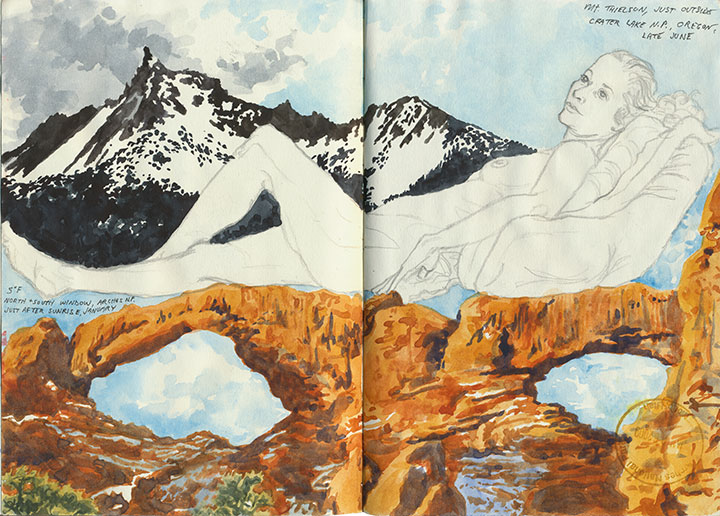
This one worked out a lot better—and it didn’t hurt that the figure and desert drawings were already there to help things along.
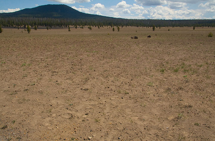
Speaking of deserts, we also saw a whole lot of barren landscapes to balance out all this snow and water. For one thing, we drove down and back on the eastern (the arid leeward) side of the Cascades. For another, there are places where all this ancient volcanic destruction still looks like it happened last year. This is the Pumice Desert, on the north side of the National Park.
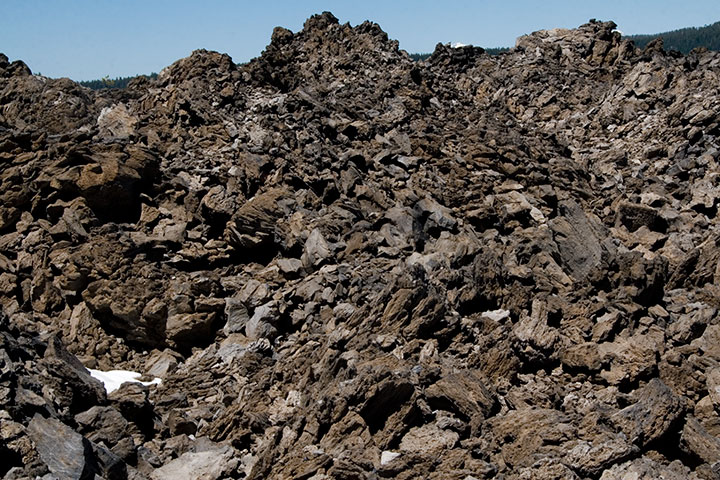
And this is something else again. Now, I loved everything we’d seen at the Park, but my absolute favorite part of the trip was this place, which made for a side trip on the way home. This is just south of the Newberry Caldera, another collapsed volcano formed in precisely the same way as Crater Lake, but on a much smaller scale. A trail winds up and through the rock-pile hills—a landscape that seems plucked from the surface of the Moon.
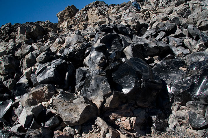
If you step closer, however, you’ll see the light glinting off of each rock and pooling in every crevice. In full sunlight the entire hillside sparkles like a gigantic, blinding treasure hoard.
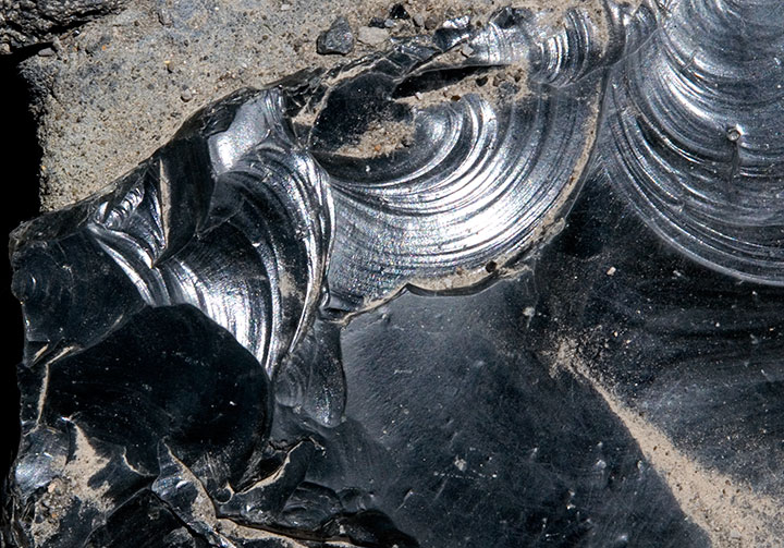
The rocks shine because they’re not rocks—they’re glass. This is obsidian, a natural glass formed when lava cools rapidly without crystallizing. Besides being gorgeous and just about the coolest thing ever, obsidian is extremely useful as a surgical tool. Obsidian scalpels can be sharpened to a near-microscopic edge (because of the not-forming-crystals thing), and the incisions they make produce narrower scars than steel scalpels do. Neat, huh? Anyway, obsidian flows of this size are quite rare, so if you get the chance to walk through one—take it.
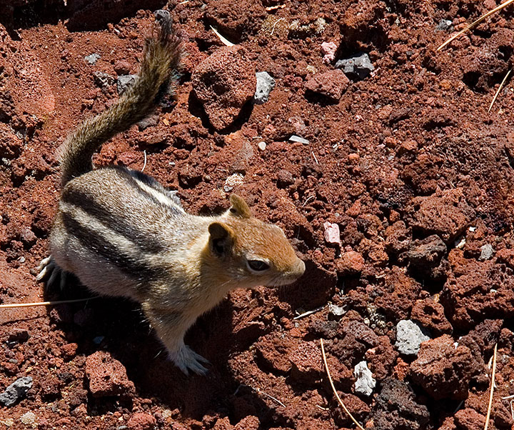
I could have stayed all day with the obsidian (which, by the way, is called the Big Obsidian Flow, a name that gives Deep Blue Lake a run for its money), but we were still several hours from home (we figured we’d have to spend the first hour stepping carefully around all the ground squirrels that had appeared at our feet), and we still had one more stop to make:
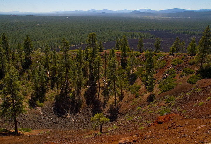
Lava Butte, from which it was possible to see pretty much every darn volcano in Oregon, and even Mt. Adams in Washington. I won’t bore you with the 200 other photos I shot from up there, but let’s just say I was in suitable awe.
Oh, and for the record? All of these volcanoes are still active. How freaky is that? Or maybe it isn’t, and I just have volcanoes on the brain, but I think it’s freaky.
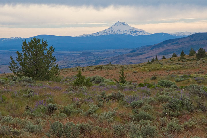
I lost count of all the volcanoes we spied, but the rest of the numbers were easy to tally:
Five glorious days.
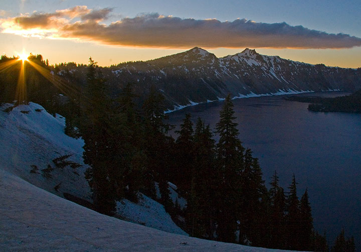
Five breathtaking sunsets.
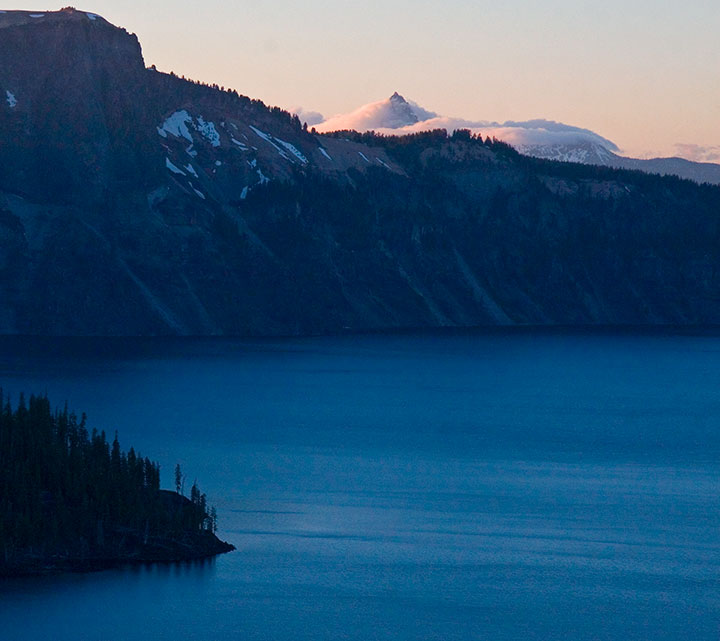
Five thousand smiles.
July 11th, 2010
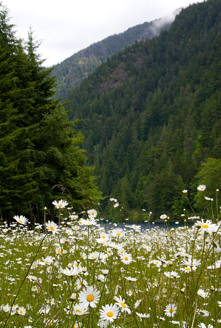
Since I’ll be a hermit for most of the rest of the year while I finish my Rainier book, I tried to sneak a little stolen summer vacation time into June. If I was going to lock myself indoors during our sunniest season, I wanted as many mountains, oceans, flowers and skies as I could cram into a week first.
For the first few days we had a couple of friends staying with us. Since one of them was visiting from Colorado, and wanted a change from the hot, dusty summer back home, we took a day trip to the Olympic Peninsula for a good dose of lush greenery.
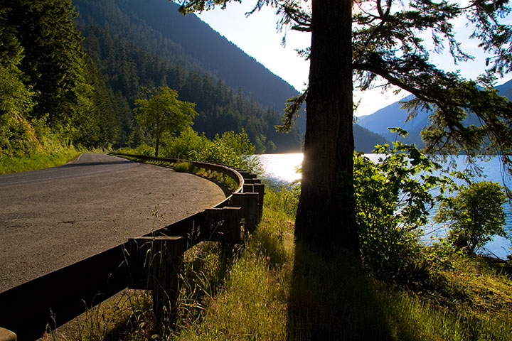
The West Coast highway, U.S. Route 101, ends with a 300-mile, two-lane meandering loop around the Peninsula. It’s the only thoroughfare on the entire Peninsula, and a treacherous road, full of hairpin curves, patches of fog, logging trucks and landslide-prone slopes—but the scenic beauty makes the drive a spectacular adventure.
We took the northernmost leg of the road that day. Just west of Port Angeles it winds through a tunnel of trees as it hugs the shore of Lake Crescent, where we stopped for a picnic lunch beside the impossibly blue water.
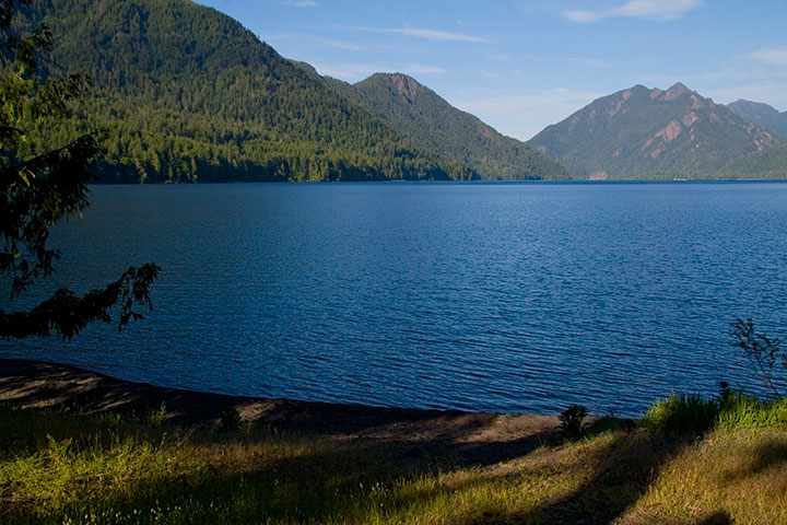
We were tempted to spend the whole day at the lake, but a bigger surprise lay down the road: the Hoh Rain Forest, one of the largest of America’s rare temperate rain forests. I’d also bet it’s the most beautiful—if it weren’t a four-hour drive away, I’d go every day.
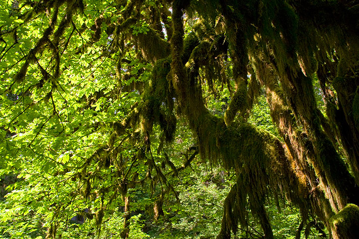
I had only ever seen the place in a downpour (big surprise—they get up to fourteen feet of rain and over 300 cloudy days a year), but as soon as we arrived that day … the sun came out.
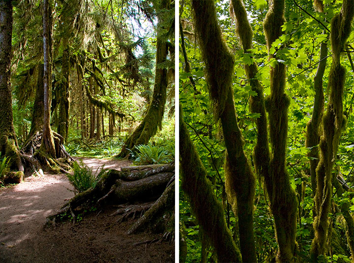
I almost didn’t recognize the place.
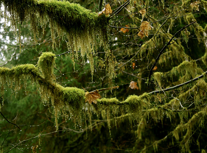
The last time I was there, droplets hung from every surface and everything shimmered with a gossamer silver glow.
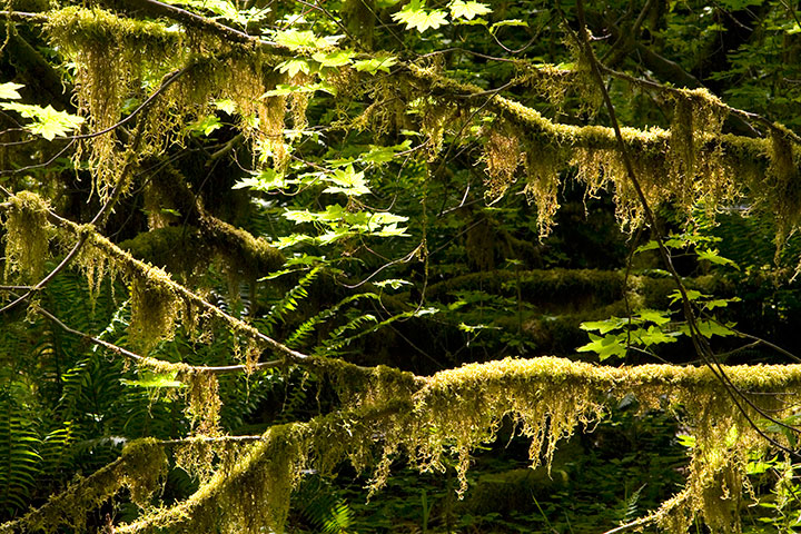
This time, the glow turned to spun gold and bottle green.
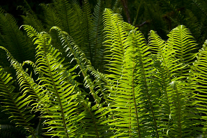
As always, though, every branch was festooned with cat-tail moss, and sword ferns carpeted the forest floor.
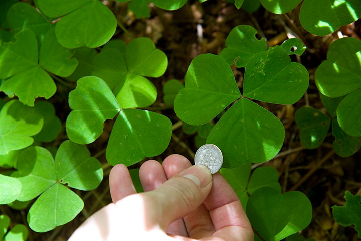
And the clover leaves were the biggest I’ve ever seen.
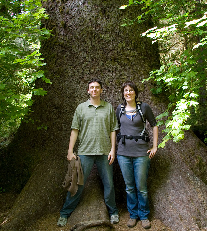
So were the trees.
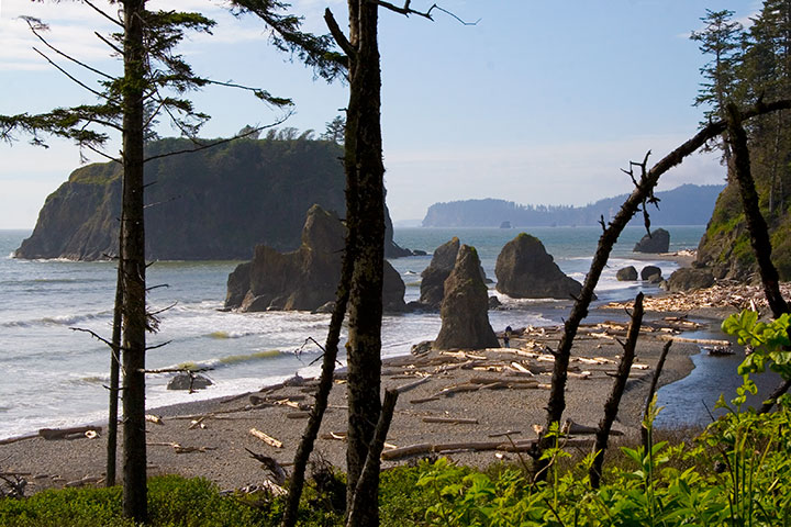
The best part about our road trip was the fact that it was nearly Midsummer; we still had hours of sunshine left to us. Next on the itinerary: Ruby Beach. It was a short hike down to the water, past Queen Anne’s lace and just-ripening salmonberries, with the roar of the Pacific ringing in our ears.
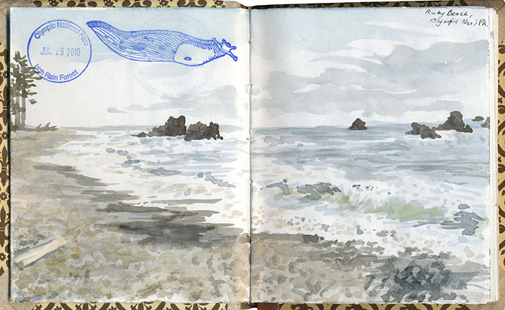
That bizarre stamp is still the only banana slug I’ve ever seen, alas. The search continues!
I sat down to do a watercolor,
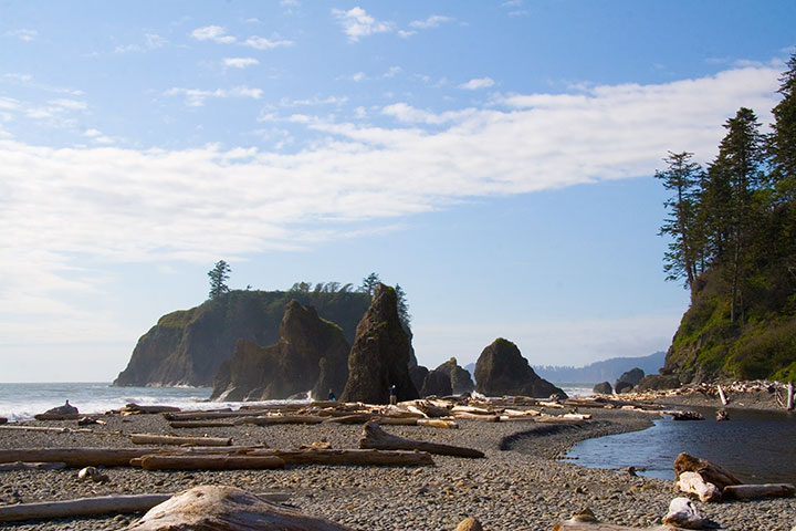
while Ethan moved along the shore to explore the sea stacks,
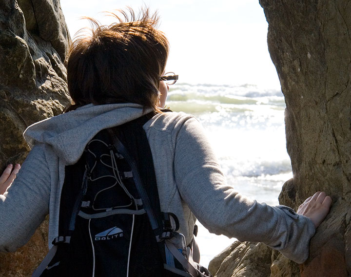
and Nicole stopped to take in the view.
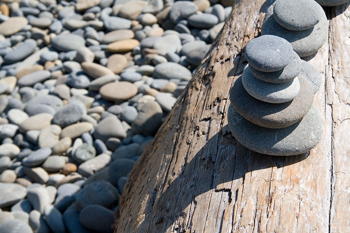
We made a quick contribution to the collection of obos on a nearby driftwood log, and set off for home.
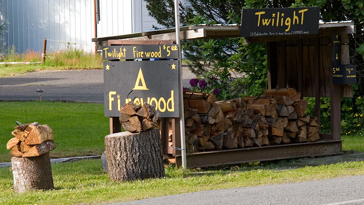
Yes. Twilight firewood. For setting those vampire books on fire, I think.
On the way back we stopped for a little absurdity. Route 101 passes through Forks, home of a certain infamous vampire series; we couldn’t resist stopping to take photos of the hilarious roadside tie-ins that had popped up since the last time I passed through. I’d never read the books, but when Nicole told me that these vampires only eschew sunlight because it makes them sparkle … well. My morbid curiosity got the better of me, and before I could stop myself, I read the whole blasted page-turning accident scene of a series the following week. Ugh.
And, uh, yeah. They sparkle. And whine and brood and mope. Curiosity satisfied.
I digress. Sorry.
By that point we were starving—but not in the mood for Twi-dogs or whatever punny food might be expected in a place with a name like Forks. So I suggested we hang on a little longer and head to Port Townsend, where I knew of a fantastic seafood restaurant.

An hour later, we had traded Forks for spoons, and were digging into our bowls of the tastiest, freshest, localest carn-starn Manila clam chowder on the West Coast. And changing my definition of road food in the process.
Oh, who am I kidding? You know that whole trip was for the chowder, right?
July 9th, 2010
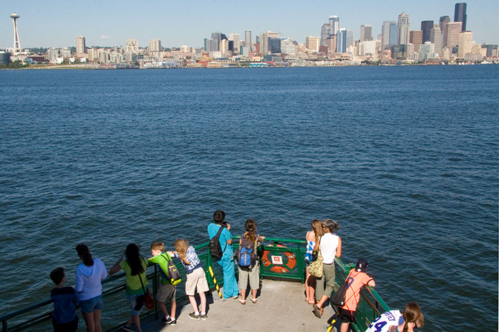
Well, if this isn’t a case of “be careful what you wish for,” I don’t know what is. Though for the record, I’m pretty sure I was the only person in the entire Pacific Northwest who wasn’t doing any wishing. (I like the cold.) Monday it was a sweater-perfect 65 degrees; today it scorched out at 93. As I’ve said before, as we so rarely have hot weather and air conditioning is therefore scarce (and totally unnecessary 99 percent of the time)—well, if you want to cool off, you’ve gotta get creative.
In this, my third summer here, a certain set of cooling-off routines are quickly becoming a tradition. Here, then, are my top-5 favorite heat-beating tips, Northwest style:
1. Grab a friend and get on a boat. Namely, the Bainbridge Island ferry. Since it’s always at least twenty degrees cooler on the Sound, the passage kicks up a deliciously cold breeze that puts every air conditioner in Phoenix to shame.
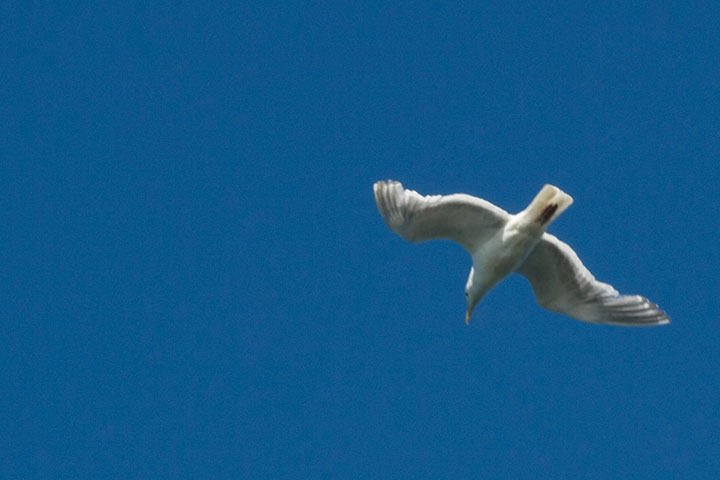
2. Take a cue from the seagulls and head for the prow. The breeze is stronger up there—the birds sure love it.
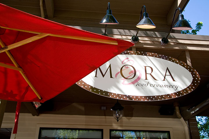
3. When you arrive on Bainbridge, stroll down to Mora for a cone. I’m a believer in Dessert First.
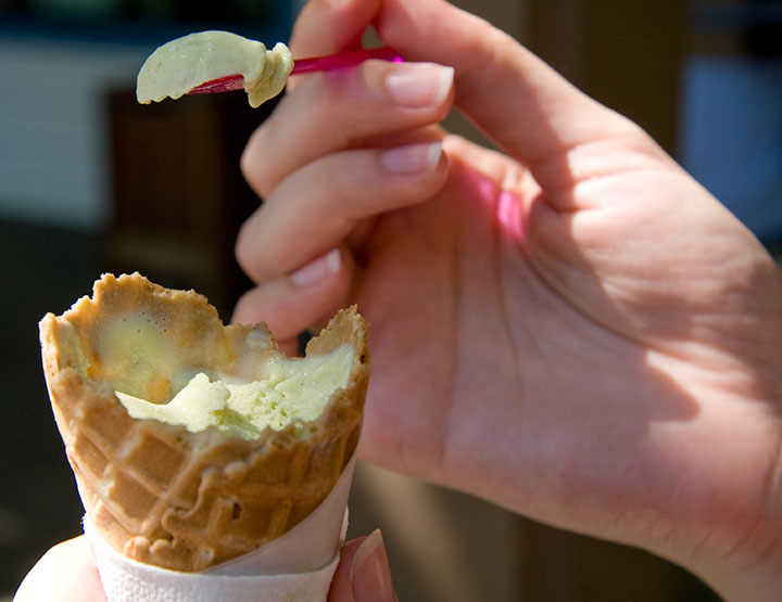
(Use a spoon as necessary to stay ahead of the melting.)
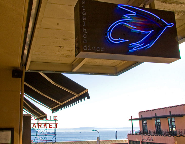
4. When you get back to the mainland, duck into an air-conditioned restaurant and follow up that dessert with a light, cold dinner and an icy drink. Do this European style, and take your sweet time.
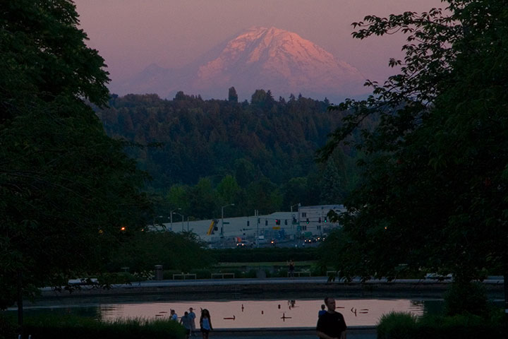
5. When you finally finish dinner, take a walk in the evening air and watch the sun do spectacular things on its way out. That’s the best part, and the most solemn promise of hot-hot days in this neck of the woods.
July 5th, 2010
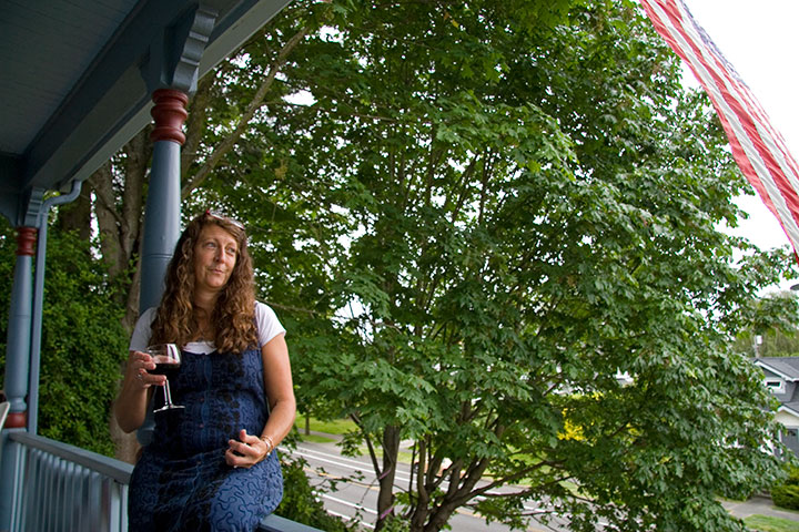
This is Carol, a fiery Sicilian kindred spirit and one of my favorite-est people on the planet. She and her fabulous husband, Jeff, hosted a Fourth of July shindig in their garden today, threats of rain and cold, dreary weather be darned.
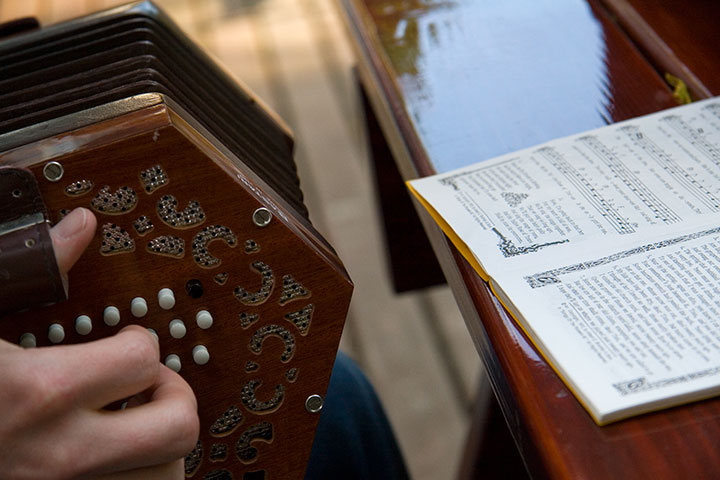
There was a little music,
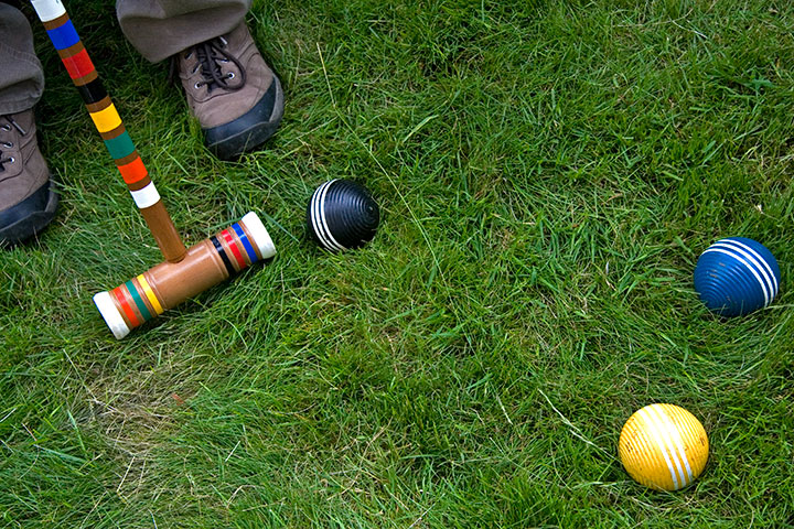
a healthy dose of croquet,
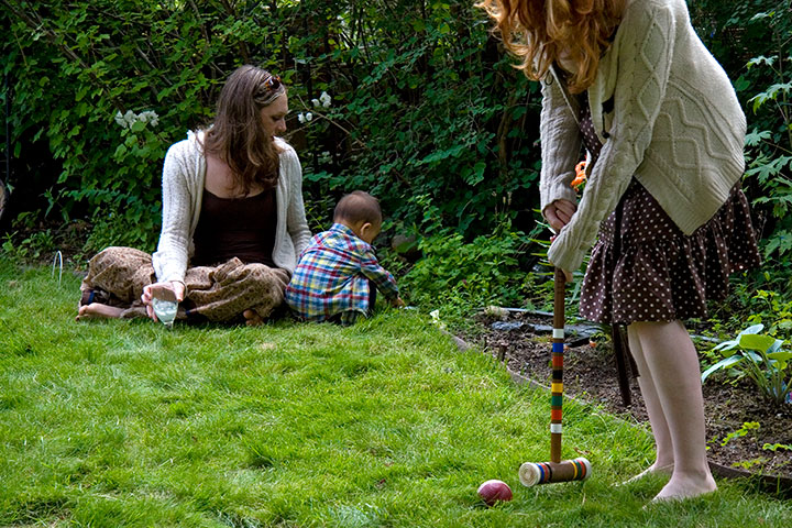
(with the added hazard of the course bordering a rhododendron thicket and a 30-foot drop to the street below)

a whole lot of laughter,
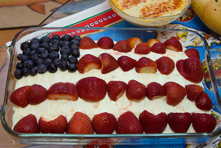
and a walloping smörgåsbord that included plenty beyond your typical Fourth o’ July fare. Hey, hummus goes great with stars-and-stripes cake!
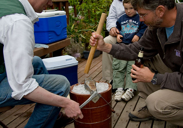
We contributed our ice cream crank, plenty of mashed strawberries, and our upper body strength.
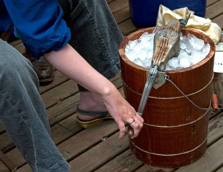
I’m glad there were plenty of people to share the job of cranking, because I like to cut to the chase.
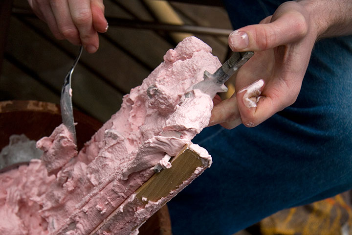
Namely, this. My favorite part is when everybody grabs a spoon and helps clean off the dash,
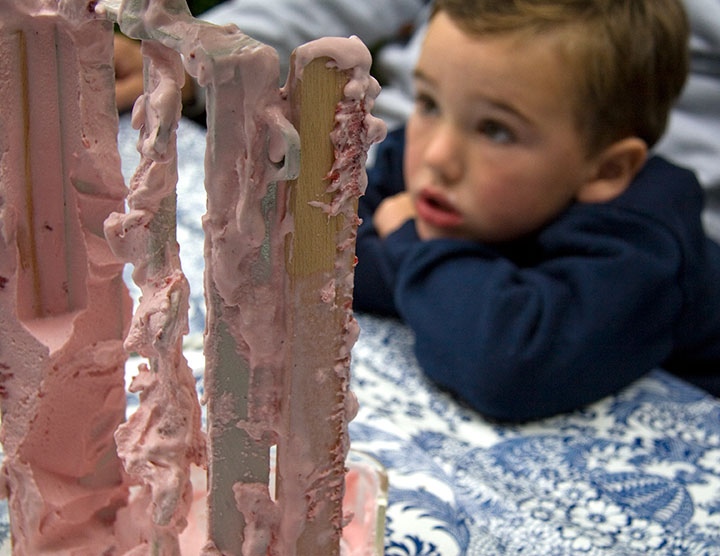
though I’m sure the novelty alone was the highlight for some. Sure, it was a little cold for ice cream (we’re not exactly known for hot summers here), but everyone just threw on another clothing layer before digging in.
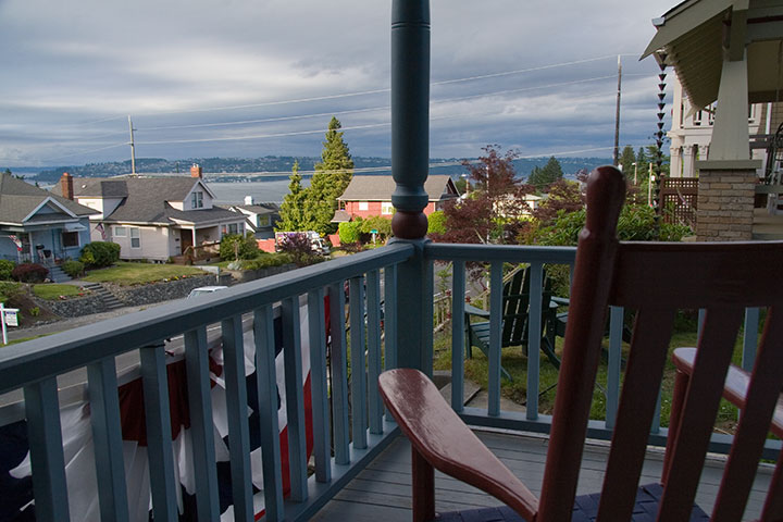
After we had all eaten ourselves silly, everyone gathered on Carol and Jeff’s porch, which faces the Sound—
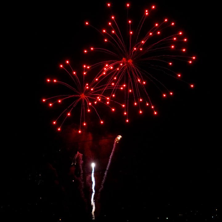
—and provides a front-row seat for the main event.
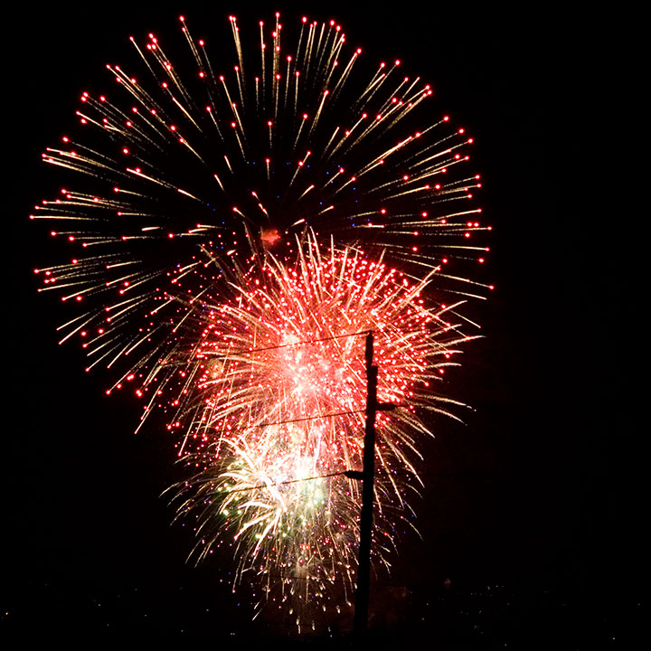
Happy Independence Day!
May 30th, 2010
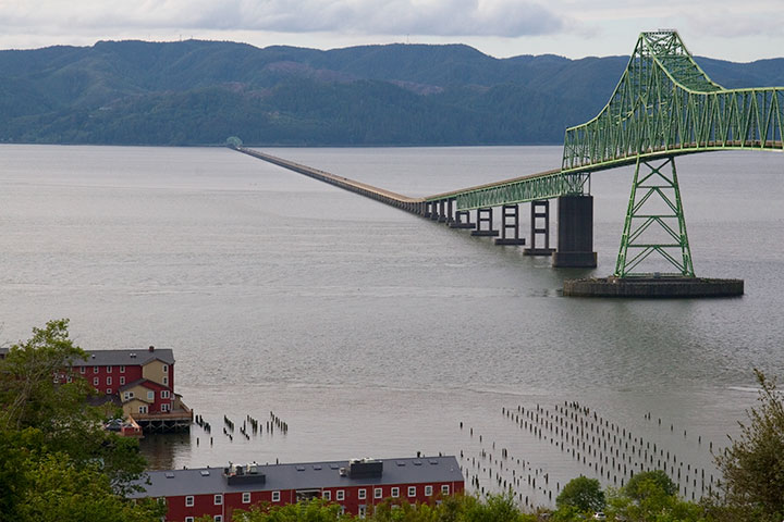
The Tailor and I had some errands to run in Portland yesterday, and since the the rain that has been pounding us for two weeks was finally starting to give way to sun, we decided to take the long way home, along the winding coastal road.
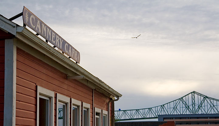
We stopped for clam chowder in Astoria, Oregon—a historic hill town (and one of the oldest settlements in the Pacific Northwest) perched above the mouth of the Columbia River. Beautiful views and Victorian houses aside, the really fun thing to do in Astoria is to look for the locations used in films like Short Circuit, Kindergarten Cop (it’s not a too-muh!), and The Goonies.
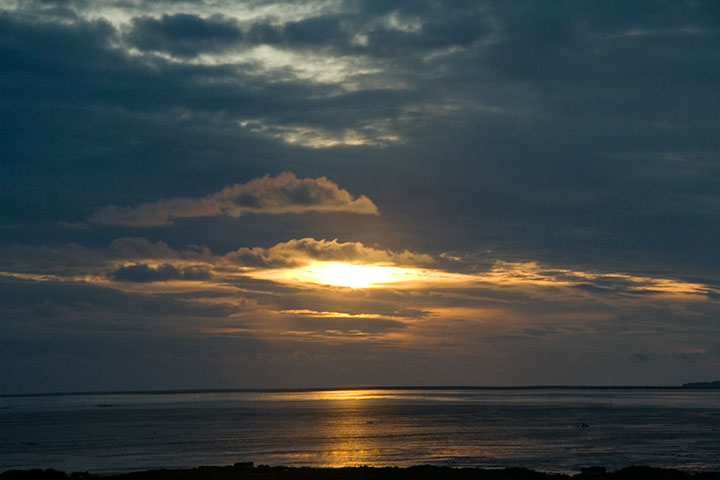
We meandered through a few neighborhood streets and an antique shop on the main drag, but as we had several hours to drive yet, and since the sun was setting in earnest by the time we finished dinner, there wasn’t time to play movie tourist. But as we walked back to the car, we saw a theatre marquee announcing that next weekend, Astoria would have a celebration honoring the 25th anniversary of The Goonies!

After a few depressing moments where we realized how old that made us feel, and that we had uncancellable plans for next weekend (though if you want Corey Feldman’s autograph, you might want to check it out), the Tailor started getting excited.
Him: I want to watch The Goonies when we get home!
Me: We don’t have The Goonies.
Him: We’ll swing by Stadium Video!
Me: I seriously doubt they’ll still be open.
Him: What if we bought a copy on the way home? There’s got to be a Target or something between here and Tacoma.
Me: Didn’t we decide to take the back road so we’d miss all that? There’s nothing for a hundred miles!
Him: Well, yeah. C’mon, everything is closing here. Where can we go to find DVDs for sale?
Me: Hmm, if we can get to Olympia by 10:00, we might find a store that’s still open.
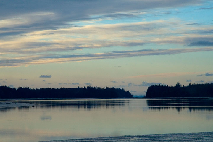
Well, as expected, the drive was beautiful but desolate. When we finally reached the outer suburban ring of West Olympia, it was 10:30, but since we had arrived in the land of chain stores, it was worth a try. Despite the guilt over our sudden willingness to hand our money over to corporations, we tried three big-box stores that start with a “B,” two of which that, like everything else at that hour, were shut tight. Since we still had that last shred of hippie conviction that prevented us from trying to find a Walmart, we gave up and headed for home.
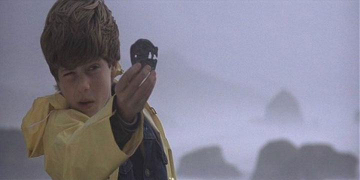
But then, just before we reached the highway again, I spotted (through my doubloon, of course) a Blockbuster Video on the left, with a neon “Open” sign in the window. I had just enough time to roll my eyes and slam on the turn signal before some instinct took over and steered the car into the parking lot. It took some digging, but buried in a corner was a miraculous, unassuming copy of The Goonies.
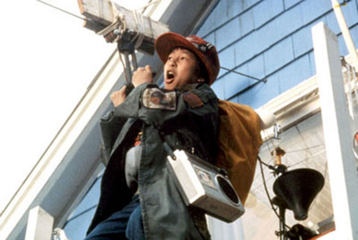
Needless to say, we stayed up way too late last night. Goonies never say die!

![Chandler O'Leary [logo]](https://chandleroleary.com/wp-content/themes/chandleroleary/images/logo.png)


