Blog
May 30th, 2010
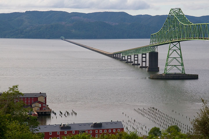
The Tailor and I had some errands to run in Portland yesterday, and since the the rain that has been pounding us for two weeks was finally starting to give way to sun, we decided to take the long way home, along the winding coastal road.
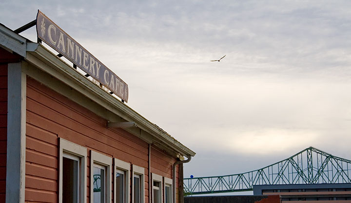
We stopped for clam chowder in Astoria, Oregon—a historic hill town (and one of the oldest settlements in the Pacific Northwest) perched above the mouth of the Columbia River. Beautiful views and Victorian houses aside, the really fun thing to do in Astoria is to look for the locations used in films like Short Circuit, Kindergarten Cop (it’s not a too-muh!), and The Goonies.
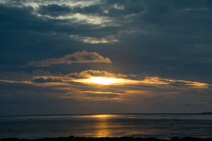
We meandered through a few neighborhood streets and an antique shop on the main drag, but as we had several hours to drive yet, and since the sun was setting in earnest by the time we finished dinner, there wasn’t time to play movie tourist. But as we walked back to the car, we saw a theatre marquee announcing that next weekend, Astoria would have a celebration honoring the 25th anniversary of The Goonies!
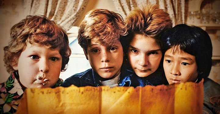
After a few depressing moments where we realized how old that made us feel, and that we had uncancellable plans for next weekend (though if you want Corey Feldman’s autograph, you might want to check it out), the Tailor started getting excited.
Him: I want to watch The Goonies when we get home!
Me: We don’t have The Goonies.
Him: We’ll swing by Stadium Video!
Me: I seriously doubt they’ll still be open.
Him: What if we bought a copy on the way home? There’s got to be a Target or something between here and Tacoma.
Me: Didn’t we decide to take the back road so we’d miss all that? There’s nothing for a hundred miles!
Him: Well, yeah. C’mon, everything is closing here. Where can we go to find DVDs for sale?
Me: Hmm, if we can get to Olympia by 10:00, we might find a store that’s still open.
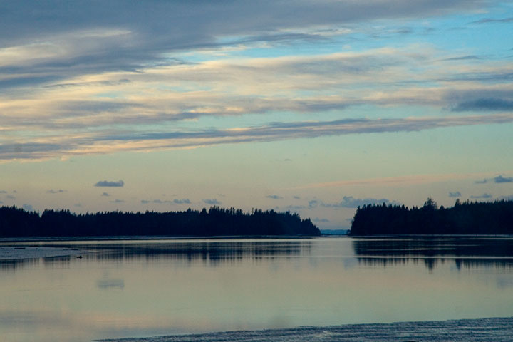
Well, as expected, the drive was beautiful but desolate. When we finally reached the outer suburban ring of West Olympia, it was 10:30, but since we had arrived in the land of chain stores, it was worth a try. Despite the guilt over our sudden willingness to hand our money over to corporations, we tried three big-box stores that start with a “B,” two of which that, like everything else at that hour, were shut tight. Since we still had that last shred of hippie conviction that prevented us from trying to find a Walmart, we gave up and headed for home.
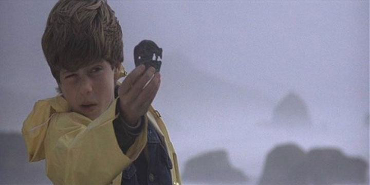
But then, just before we reached the highway again, I spotted (through my doubloon, of course) a Blockbuster Video on the left, with a neon “Open” sign in the window. I had just enough time to roll my eyes and slam on the turn signal before some instinct took over and steered the car into the parking lot. It took some digging, but buried in a corner was a miraculous, unassuming copy of The Goonies.
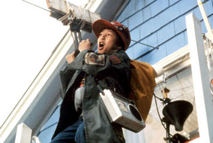
Needless to say, we stayed up way too late last night. Goonies never say die!
May 9th, 2010
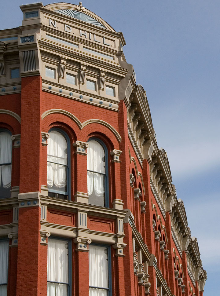
Today was just begging for a Sunday drive, Mother’s Day crowds be darned, so the Tailor and I moseyed up to another of my favorite haunts: Port Townsend.
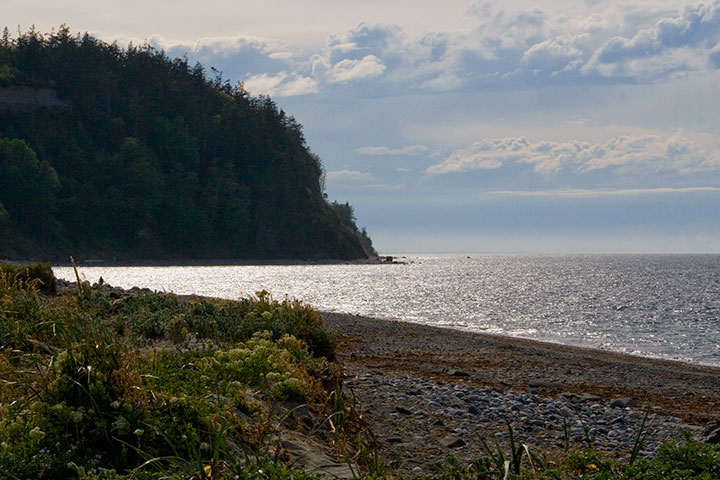
Port Townsend is located on the northeastern tip of the Olympic Peninsula (close on a map to but in reality very far from Cape Flattery) and guards Admiralty Inlet, where Puget Sound ends and the Straits of Juan de Fuca begin. It’s practically within shouting distance of Canada on one side (you can just make out the line of Vancouver Island along the horizon here), and lava-spewing range of Mt. Baker on another.
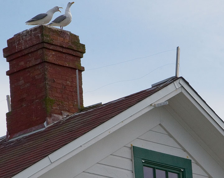
These days it’s a sleepy, semi-tourist town (thankfully it’s remote enough that it’s often possible to go without being mobbed by teeming hordes), home to both artists and seagulls, but at one time this place was hoppin’.
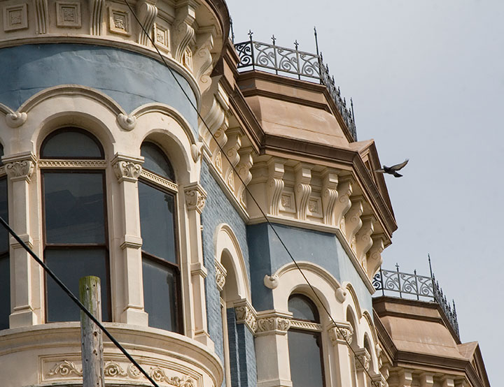
Its location made it an ideal military, trade, and shipping hub; Port Townsend was a prosperous and well-established seaport by the 1870s—nearly twenty years before Washington became a state. The town’s early boom afforded it a lavish and significant array of Victorian architecture—and once shipping fell out of favor there, its failure to develop a replacement industry (see above: remote) proved to be an accidental blessing of historical preservation. As a result, Port Townsend has an astonishing collection of Victorian houses and commercial buildings, and is one of only three seaports on the National Register of Historic Places.
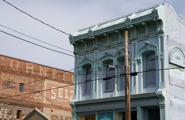
Beyond the architecture (which, don’t get me wrong, is the stuff of my dreams), what I love about this place is how lived-in it feels. It’s not a stage set, or an overgrown museum, like so many historic towns I’ve seen. Port Townsend feels comfortable, inviting, and absolutely real.
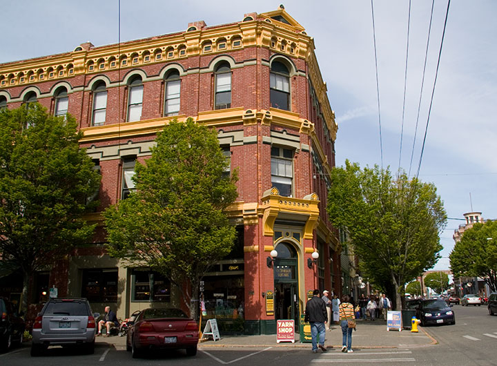
It reminds me of places like Durango, Colorado; Stillwater, Minnesota; Salem, Massachusetts—all places that have taken up permanent residency in my heart. Places with real, breathing history and still-current ordinary life.
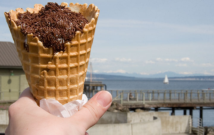
And I’m not even biased by the New England-authentic jimmies-coated ice cream cone I stumbled upon today—though the pitch-perfect nostalgia of my favorite childhood treat favorite-thing-in-the-whole-wide-world (which really can’t be found west of the Hudson, at least not completely slathered like this, and for which I nevertheless search tirelessly) made me happier than I can say.
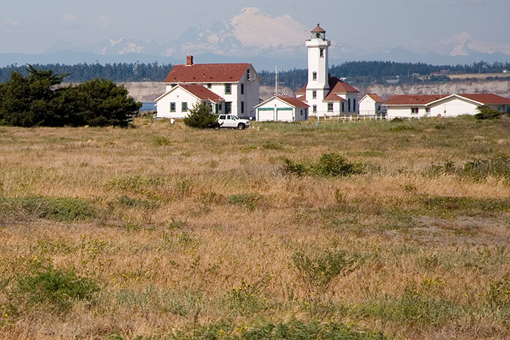
Ahem. I digress. Big time. Port Townsend has one more beauty up its sleeve—although as it’s not on the beaten path, it’s easy to miss. The tippy-tip of the town’s little peninsula is occupied by Fort Worden, formerly an army installation (1890s to 1953) and now a state park. The gub’mint knew what it was doing with this one—they picked one of the loveliest and most strategically important chunks of real estate in the Pacific Northwest. I’m sure glad it belongs to all of us now—I think it’s better for flying kites than cannonballs anyway.
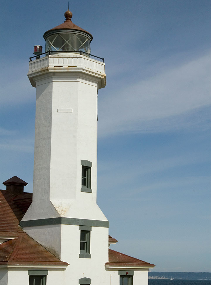
Fort Worden’s best feature, and the perfect climax to a day in Port Townsend, is Point Wilson Light, the tallest lighthouse on the Sound. This is one of my favorite spots to sit and watch the world go by, and today’s date reminded me that while we didn’t get to it on her recent visit, this is one spot that I think my mum would love, too.
Happy Mother’s Day, everyone! (And happy birthday, Dad!)
April 12th, 2010
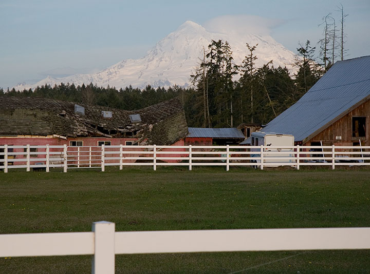
The sun came out yesterday afternoon, and Mt. Rainier peeked out from behind the clouds. On a whim I tossed my camera into the car and bolted to Paradise, where I had been hoping for one more research shot for my book: Rainier in the snow.
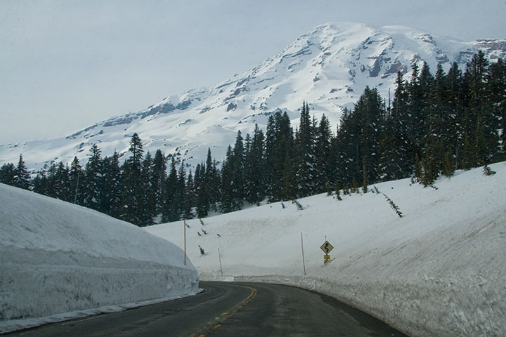
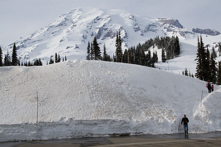
Well, I certainly got my wish.
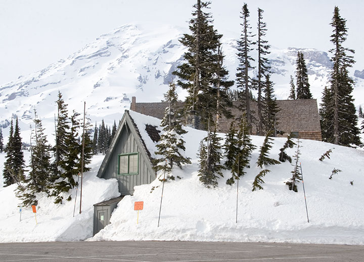
An hour and a half later I was standing in the cold, at the highest point on the southern park road, and the furthest one can go before the snow melts at the end of June and the rest of the park opens.
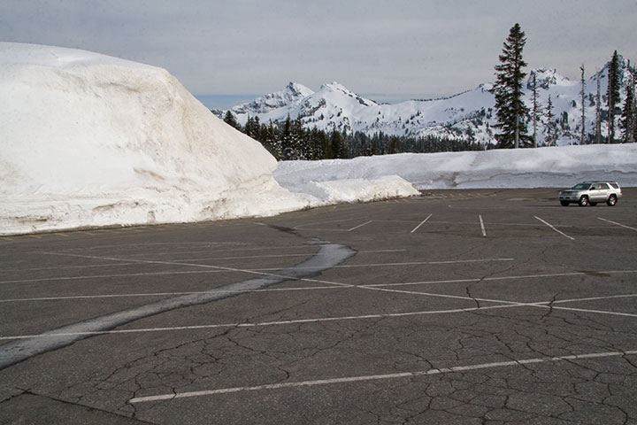
I looked over at one of the few cars around me, and was absurdly reminded of all those winters I spent in North Dakota (minus the mountains, of course).
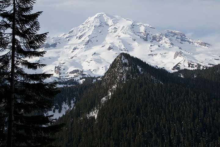
It was nice to think that if I wanted snow, I could come and get it whenever I wanted—without having to shovel my way out of it.
April 7th, 2010
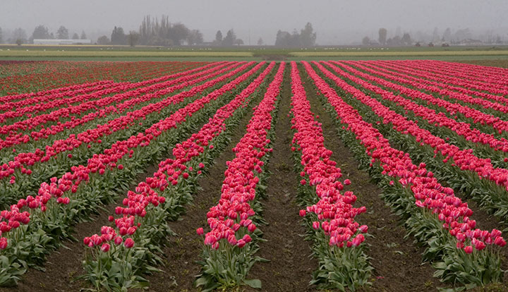
Yesterday I headed north with a friend for my second Skagit Valley Tulip Festival. I was hoping to do some drawing this year, but the weather had other plans.
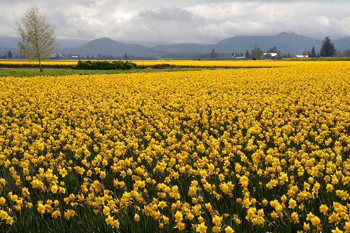
It was like I’d never been there before—everything was different this year. For one thing, the tulips are blooming early, so the daffodils hadn’t retired yet.
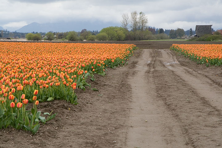
For another, the farmers have rotated their crops, so the tulips are occupying different fields than last year—which gave me a whole new set of photo possibilities.
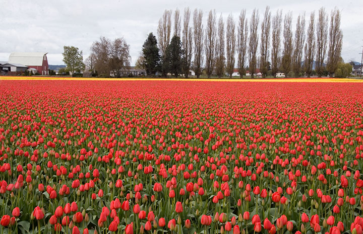
And best of all, we had the place to ourselves—Tuesday discouraged the tourists with day jobs, and the rain took care of the rest.
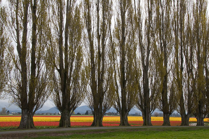
The Skagit Valley is quickly becoming a favorite haunt; it was hard not to turn the day trip into a week of following all the back roads and exploring all the hidden pockets of scenery I discovered yesterday.
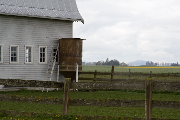
That’s okay, though. I know that next time, more than just tulips will be waiting for me.
December 10th, 2009
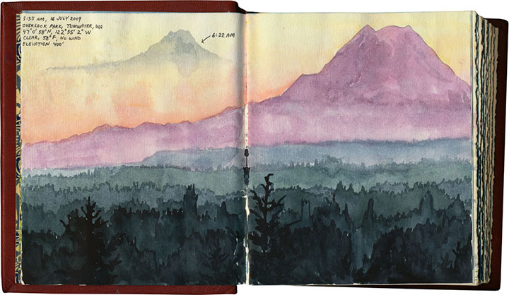
After nearly a year, image-gathering for my Mt. Rainier artist book is finally coming to an end, and I’m starting to make the final illustrations. I have a huge stack of sketches, scribbles and recorded data, and thousands upon thousands of photos to sift through. This month and next are scheduled for the all-important (and terrifying) process of Figuring Out How the Heck to Make It Work—physical mock-ups, final compositions, text-writing, etc. But before I could move on with a clear conscience, I had one last far-away location to cross off my research list: Portland. And for some reason, the stars just weren’t aligning for me.

My first attempt this summer was also my first-ever trip to the city, so I had to location-scout with a blank mental map—and when I finally found what I was looking for, it was too hazy to see anything anyway (hence the dotted line where Rainier should be). Since Portland is 140 miles away, I couldn’t just try again any old time I pleased. As the months went by, I became increasingly frustrated—the location I visited over the summer (Larch Mountain) is inaccessible in the winter, and although I had another spot in mind, my schedule and the weather (which was way harder to pin down than an open travel day!) just couldn’t find anything in common; the last few months have been typically Northwestern, with plenty of rain, fog and drear for a volcano to hide behind. Finally, last week, it seemed I had my chance. T-town was socked in with pea-soup fog, but since the previous day had started the same way and ended in sunshine, I decided to go for it. As I cleared the Puget lowlands and the fog lifted, I caught crystal-clear glimpses of Rainier to the east as I went, and my confidence rose. I wouldn’t know for sure until I got there, but the sunny weather seemed like it would hold. I made good time to Portland, wound my way up to Council Crest Park, jogged up to the viewpoint and faced north—
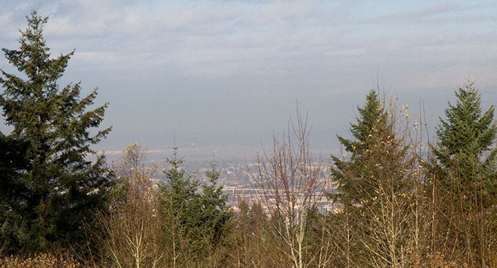
—and saw that Mt. Saint Helens didn’t get the memo. It had its own private weather system blocking Rainier from view.
It was a long drive home that night.
The last few days were torture. The weekend taunted me with sunny mornings and cloudy afternoons (good thing I didn’t take the bait), and the perfect weather went untested Monday and Tuesday while I taught class and kept appointments instead. By Tuesday night, I was sure I’d missed my last chance, and resigned myself to leaving Portland out of the book. But yesterday dawned cold and flawlessly clear, and I was astonished to find my calendar empty. I left the Tailor an incoherent voicemail at work (“I’m going right now! I’ll be back tonight!”) and jumped in the car. Exactly two hours and twenty-three minutes later, this is what I saw:
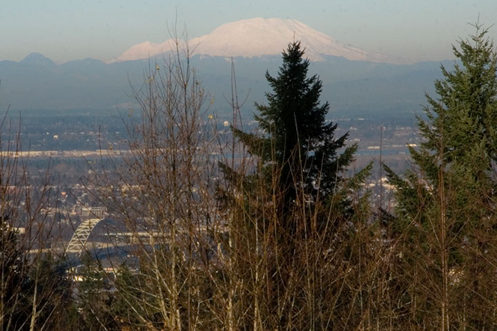
That’s St. Helens in front, with Rainier just peeking around her left shoulder.
And here’s the illustration that resulted from all this work:
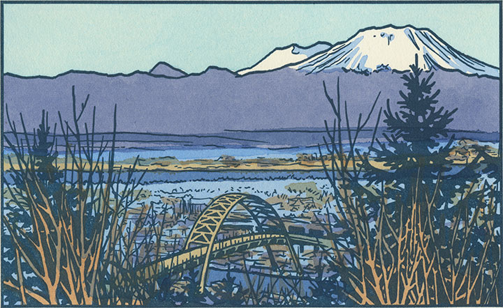
And in case I had any doubts about one image being worth all this trouble, Portland offered me a little bonus—a compositional jewel that I could never have dreamed up on my own:
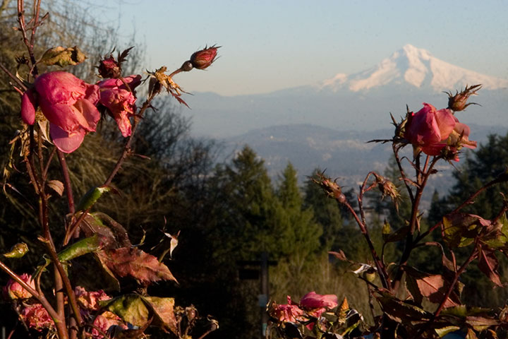
The City of Roses was still, impossibly, in bloom.
September 8th, 2009
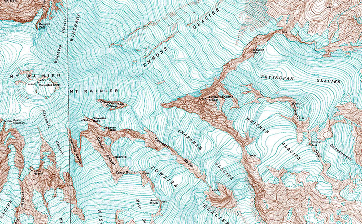
As I’ve mentioned before, I’m currently in the process of researching Mt. Rainier for my next artist book. This involves drawing and photographing the Mountain over and over (and over and over) again, in as many different conditions and from as many different vantage points as possible. I’ll get into the whys and hows some other time, but for now, suffice to say this is a huge challenge. Not only do we have incredibly unpredictable weather here, but Rainier also tends to play by his own rules, appearing and disappearing regardless of any logical connection to the forecast (which, somewhat ironically, is the entire point of my book…).
I’ve done my best to even the odds by doing the bulk of my research during the summer and early fall—traditionally the dry season here. This summer, however, has proven to be about as nontraditional as possible, and has thrown a whole lot of monkey wrenches into the works. For weeks I had planned a long trip to various points east, where the landscape is drastically different than here in the west. But here’s the rub: not only did I require a flawlessly sunny day to view the Mountain from so far away, but the best time to view Rainier from the east is in the morning—I’d have to leave too early to see that day’s weather report. So I waited, and stalked the National Weather Service, and packed and unpacked my gear. During our ridiculous heatwave we had day after day of beautiful sun, but hot weather makes the atmosphere so hazy that even from here, just forty miles away, Rainier was just a faint silhouette. And then it was one excuse after another; either I had an appointment or deadline I couldn’t change, or it was raining, or it was hot and hazy east of the Cascades, or there was a forest fire blocking my path (no joke!). Over a month went by like this, and I could feel my window of opportunity shrinking—many of the roads included in my plans are closed from October through June.
And then, a couple of weeks ago now, it seemed I’d finally get my chance. Every weather report promised dry, cool, sunny weather, for one lovely day, before the gloom closed in again. I packed my drawing paraphernalia, both cold and hot weather gear, a picnic lunch, a pile of atlases and topographic maps (you didn’t think I’d be using GPS, did you? When a letterpress printer marries a geologist, topo maps become a permanent fixture of both studio and science lab!), my camera, and plenty of music in the car, set the alarm for 3:15 am, and went to bed early with my fingers crossed.
By 3:30 I was ready to go. I poked my head outdoors, saw stars overhead, and decided to make a break for it. Two hours later I arrived at my first stop: Tipsoo Lake, just off the road in an alpine meadow. To my immense surprise I wasn’t alone, even at that absurd pre-dawn, Wednesday hour, with the entire meadow blanketed with frost. A pair of photographers arrived just minutes after me and set up tripods nearby, and a friendly Slovak couple emerged from their tent to introduce themselves while we waited for the sun to rise. The biting cold made me question the sanity of this trip, but when the light finally spilled over the ridge to dye the Mountain pink, all my doubts disappeared.
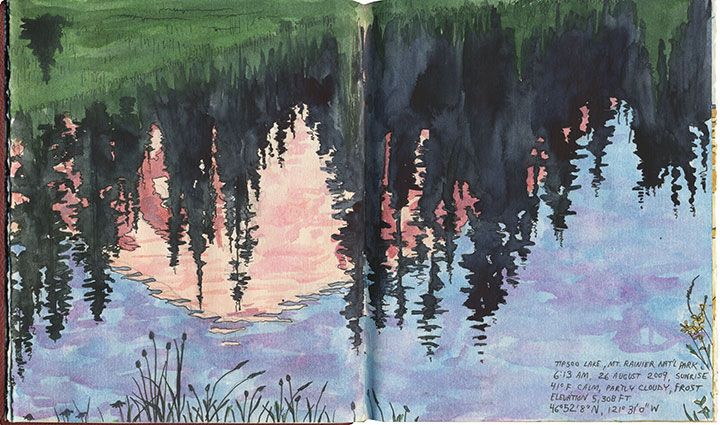
I stayed just long enough to block in a composition and shoot a few reference photos before the light changed and I lost the moment (I was on a tight timetable all day, so I finished all of these sketches back in the studio). I checked my watch and hit the road again (and waved to the Slovaks as I passed them again, thirty miles later).
From here onward I had to work entirely on conjecture. Tipsoo Lake is a famous, oft-photographed spot, so I knew what sort of composition I wanted. But I had no photo reference for the rest of my guesses that day, only an idea of what I was looking for and a lot of half-memorized topographic maps. I was hoping to capture a scene of Rainier through the iconic apple orchards of Yakima, but I knew (from all the neck-craning I’ve done on previous drives through the region) that for the most part Rainier isn’t visible from the Yakima Valley, where most of the fruit trees are. According to my maps, though, there were some flat, gridded regions at the top of the bluffs overlooking Yakima—I hoped the grid meant farms, and that the extra 600 feet in elevation would be enough for a glimpse of the Mountain. So I made for Selah Heights Road—a hairline even on my most detailed map.
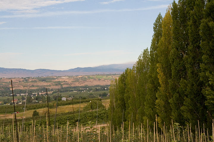
The road climbed past rows of poplars, trees laden with fruit and sweeping views of the valley; so far, so good.
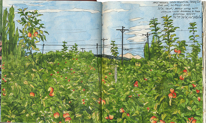
And then I found it: just the tip of Mt. Rainier visible between the apple trees. I couldn’t believe my luck. And just as I finished roughing out my drawing (I still had a lot of miles to cover before my next destination, so I worked fast and loose), I glanced to my left and discovered another treat:
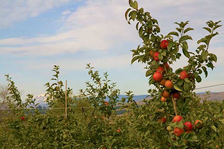
Mt. Adams, for a little extra credit.
After a quick, desperate and delicious coffee in Yakima, I turned south. My next stop was a place I’d never been: the Centerville Valley, a high-plains agricultural area just beyond Goldendale.
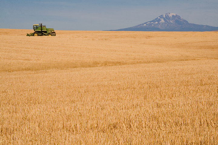
I knew that Adams would be prominently visible from here, but I could only hope that Rainier was as well—it sure would make a pretty picture if it were, I thought.
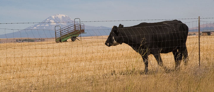
Nope, still Adams—although from this angle it tends to fool people (and cows).
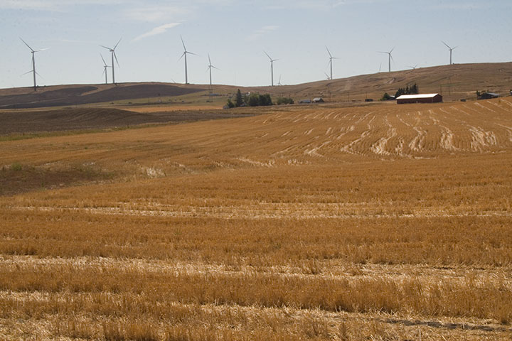
I looked behind me, and saw that the farmland sloped upward a bit, before giving way to the Columbia Hills. So I headed south along a dirt road for about a half mile, parked, and trudged a few yards into a field of wheat stubble.
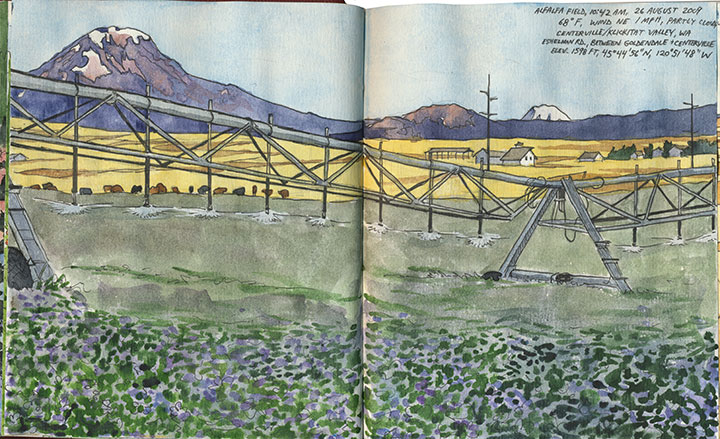
Bingo.
The alfalfa blossoms were sheer luck, just like so many other things that day. And that irrigation rig was moving—so I was never more thankful for digital photo technology than that moment (as a die-hard darkroom enthusiast, I never though I’d say that!).
Only one item remained on the itinerary: a narrow, winding goat track called the Dalles Mountain Road.
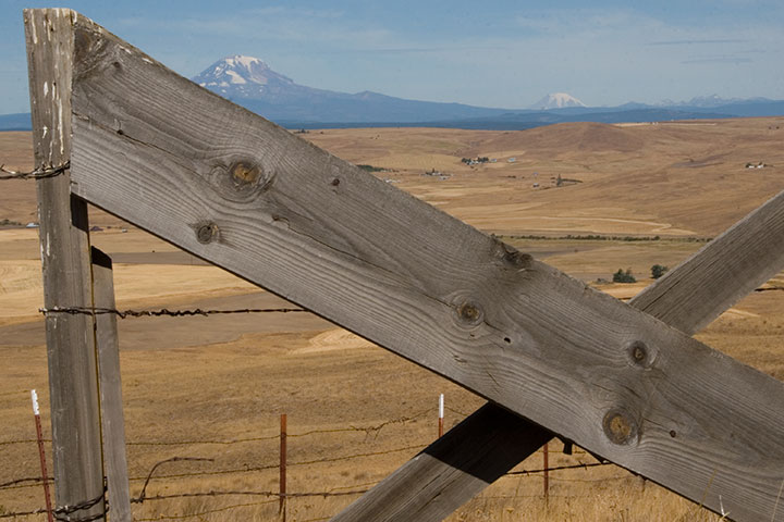
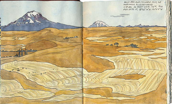
The spectacular vista of Adams, Rainier and the valley was just the beginning.
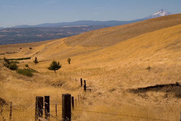
The road snakes over the top of the Columbia Hills, providing views of five volcanoes (that’s Hood there)…
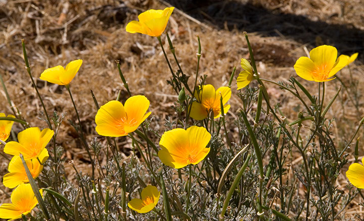
pockets of stunning wildflowers…
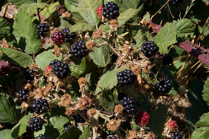
and plenty of road-side snacks.
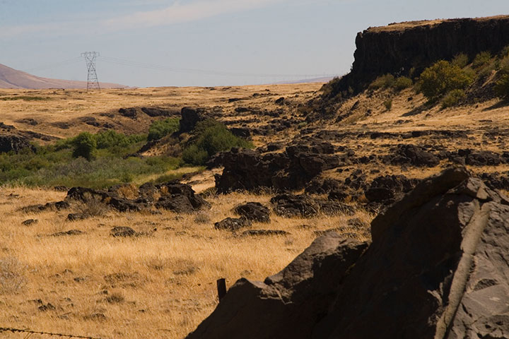
On the southern slope of the Hills the landscape turns suddenly rocky,
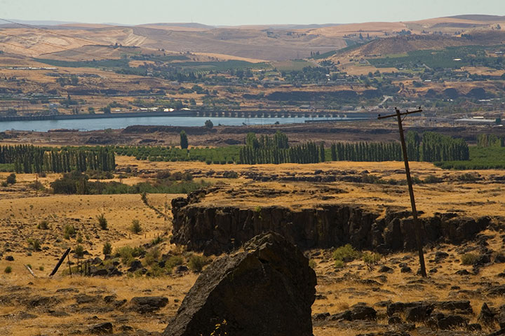
and the mighty Columbia River bursts into view.
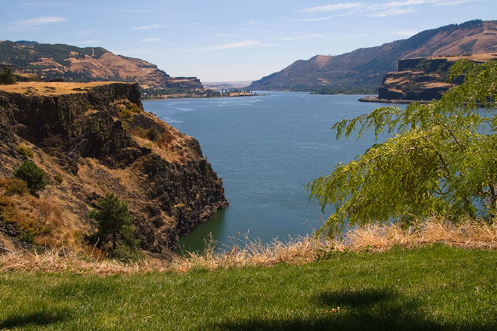
My research had gone off without a hitch, and right on schedule. It was only just noon: mission accomplished. So to celebrate I stopped for lunch at one of the most stunning picnic spots I’ve ever seen.
From that little patch of grass I could have chosen to go home the way I came, or finish the loop and return along the western side of the Cascades—it was almost perfectly equidistant. So as usual I chose the unknown road, and zipped home via the historic Columbia River Highway.
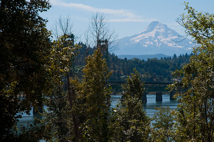
Fifteen hours, 515 miles roundtrip. And perfect conditions every step of the way. I think that after a summer of total frustration (remember the airplane incident?), maybe the universe decided to give me a break.
I’ll be sure to send a thank-you note.
August 6th, 2009
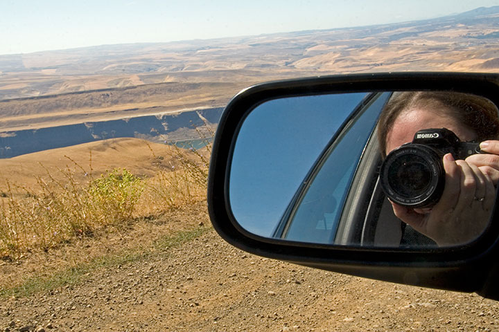
A year ago today our bright yellow moving truck pulled into Tacoma and turned the corner onto a new home, a new career, a new life. Here I am, 365 days later, and I’m still just as excited as on day one. To everyone in T-Town (and Seattle, and Portland, and everywhere in between!) who has welcomed me as one of your own: thank you, with everything I have.
I tend to be a list-maker, constantly looking ahead to what is yet to be done. And as I sifted through the thousands of photos I took over the past year, trying to narrow them down to a few favorites, a whole new to-do list emerged. Despite my best, most frantic efforts, I’ve barely scratched the surface of this new home of mine.
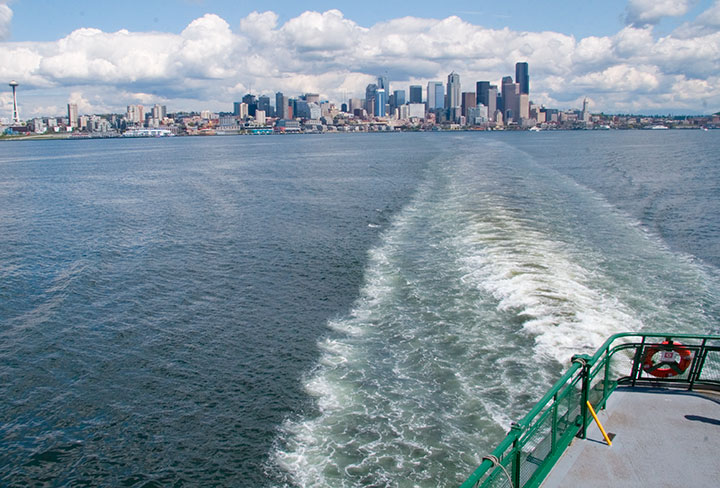
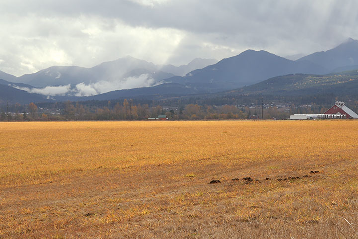
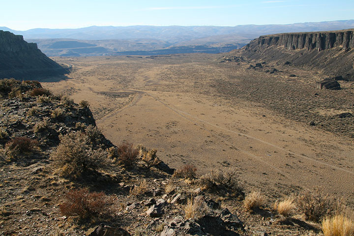
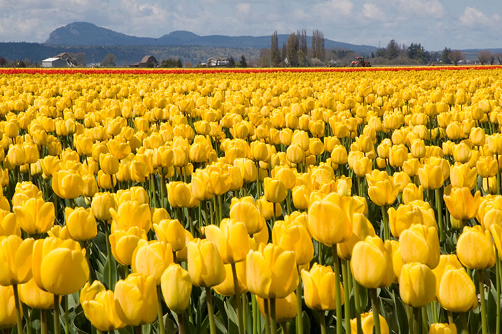
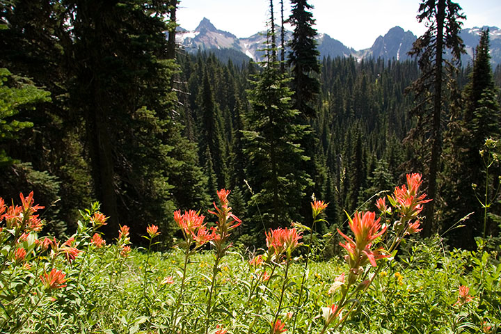
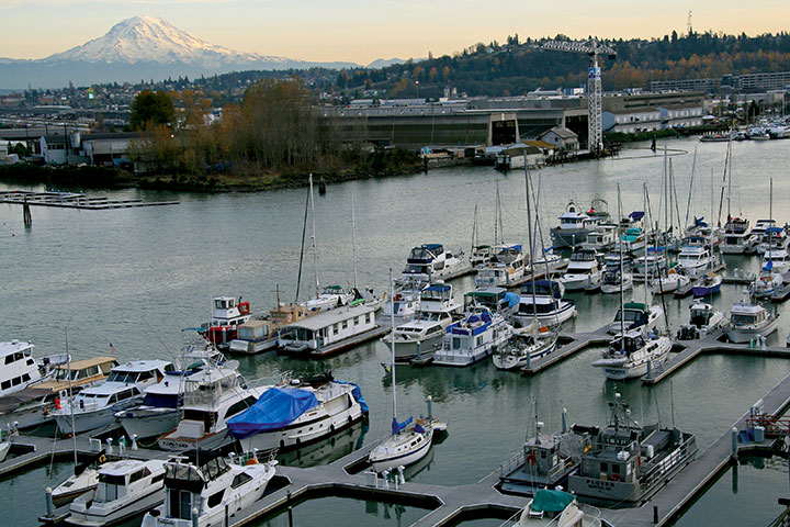
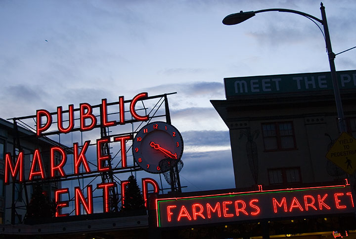
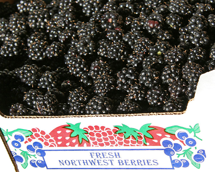
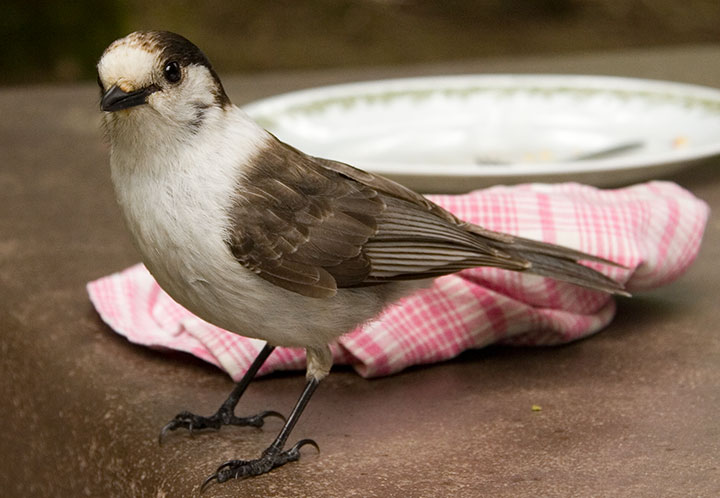
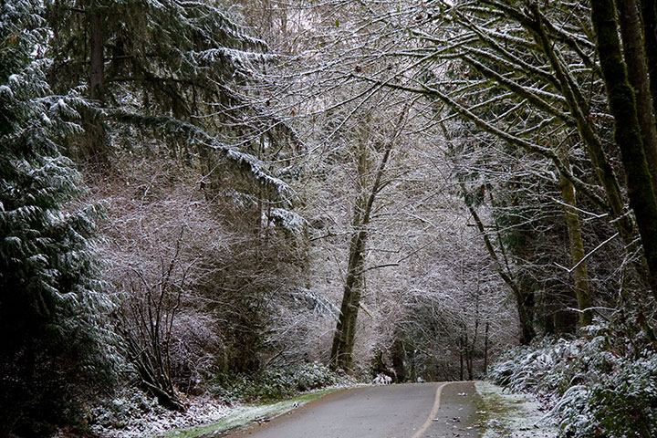
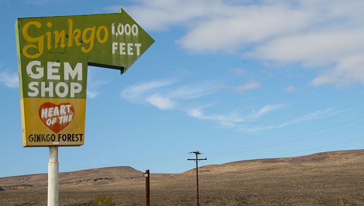
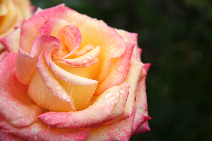
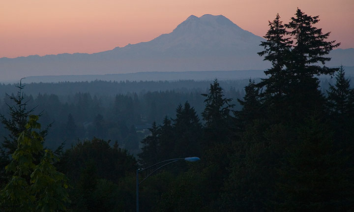
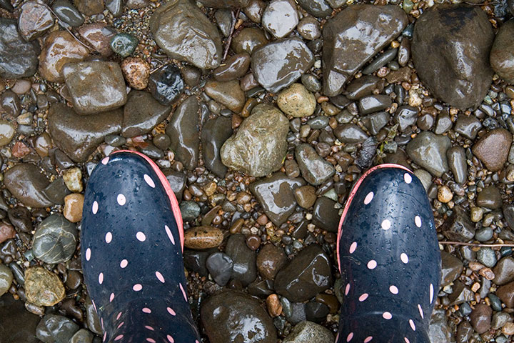
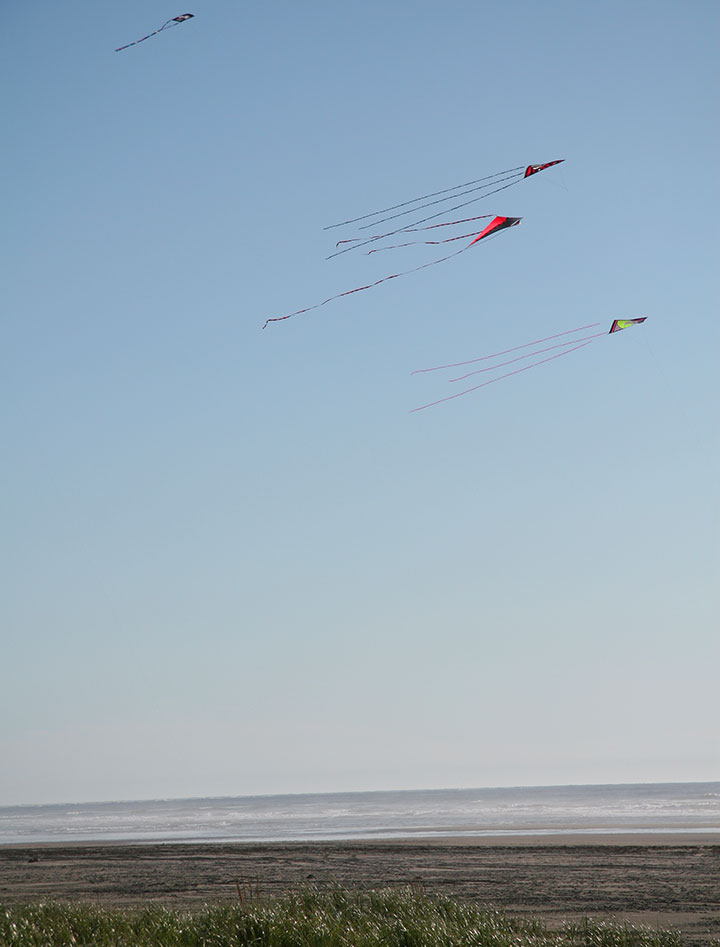
So I’ve got my work cut out for me. Washington, I’d like to get to know you a little better.

![Chandler O'Leary [logo]](https://chandleroleary.com/wp-content/themes/chandleroleary/images/logo.png)


