Volcano vacation
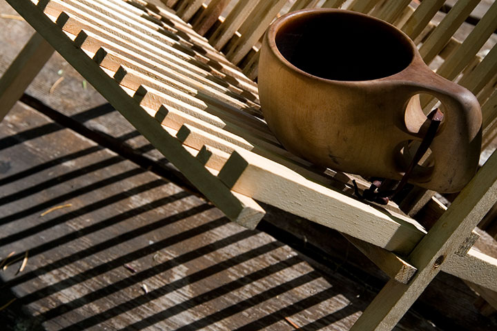
The second part of my little stolen holiday was a little more ambitious: a four-night camping trip with the Tailor in southern Oregon. It was just what the doctor ordered—the perfect prescription for recharging the soul.
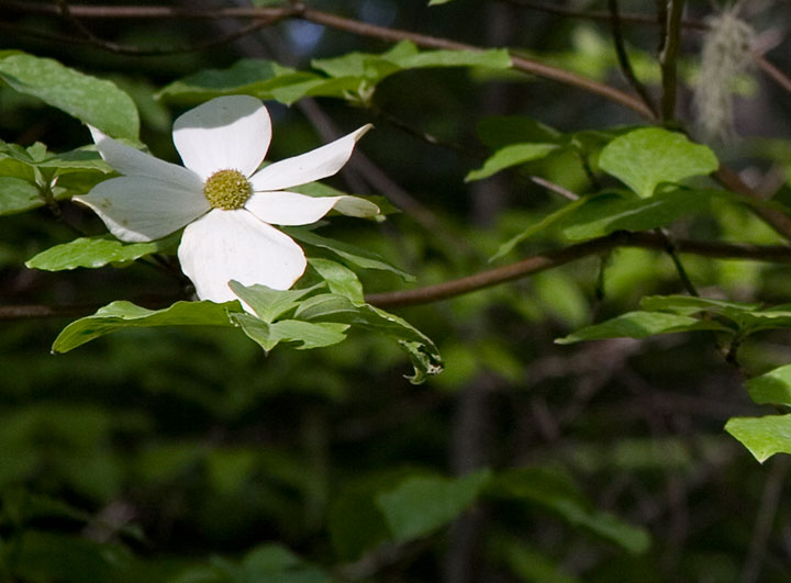
We camped in the Rogue River National Forest, in a grove of hemlocks and blooming dogwoods, just downstream from this:
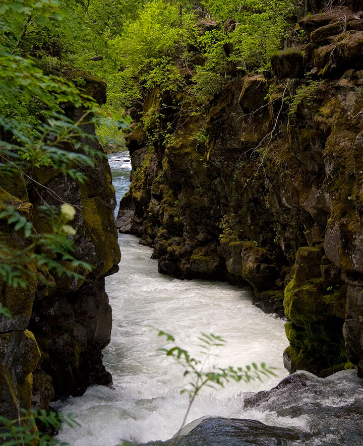
The Rogue is so beautiful that we could have spent the whole trip exploring its banks. Well, if we hadn’t had another destination in mind, that is:
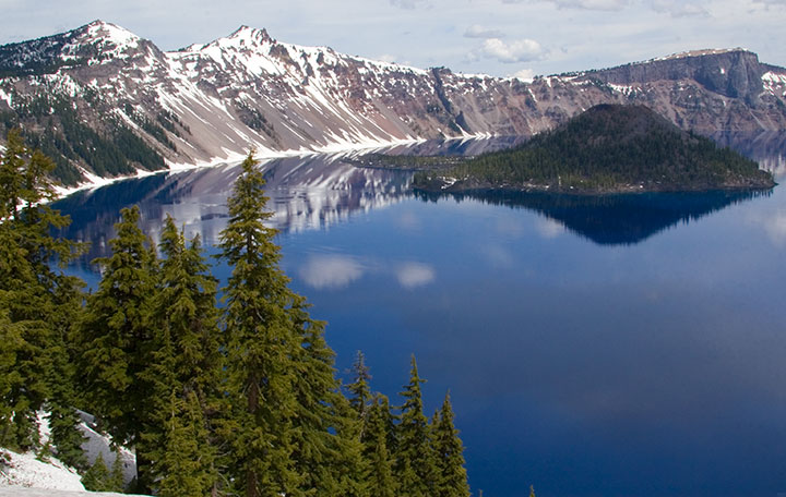
Crater Lake National Park. One of the deepest, clearest lakes in the world, Crater Lake was formed 7,700 years ago by the collapse of Mt. Mazama, after an explosion more than forty times the size of the 1980 eruption of Mt. St. Helens.
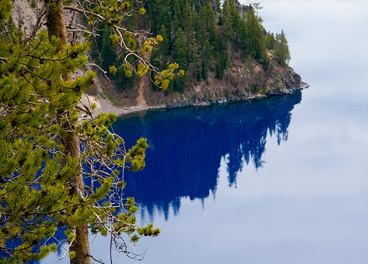
When a group of prospectors stumbled upon it in 1853, and thus became the first white folks to lay eyes on it, they named it Deep Blue Lake. Heh. You can tell they worked hard to come up with that one. Well, at least it’s descriptive.
And accurate. The lake is so impossibly blue because of its depth; when the sun’s rays refract upon hitting the water, red and green light are absorbed in the depths, while only the blue light (which has a shorter wavelength) reflects back to the surface. So the lake is blue even on a cloudy day—as you can see.
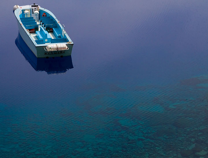
We were a week too early for the boat tours to open for the season, but we hiked down to the water anyway. The rangers like to say that the trail is “one mile down, ten miles back up” (it’s funny because it’s true. Oy.), but the experience is well worth the huffing and puffing. Next time I’ll bring bug spray, though. Note to self.
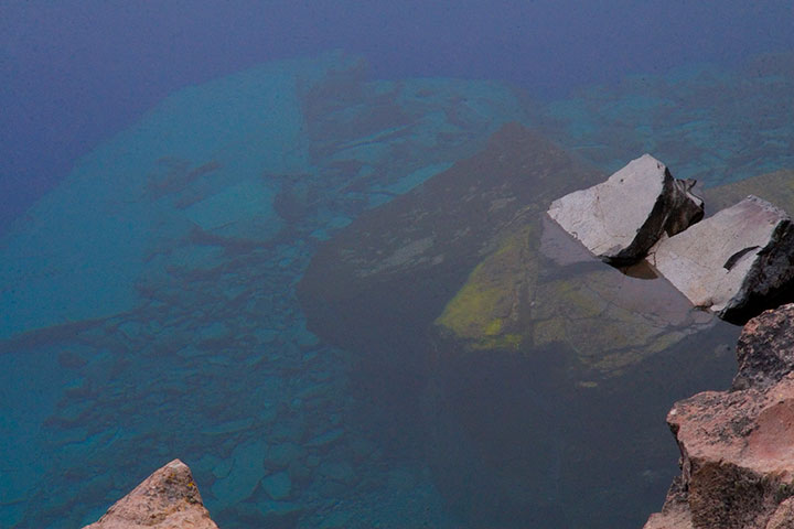
Did I mention that it’s blue? And deep? Maybe those prospectors were onto something.
The photo above doesn’t come close to doing it justice (none of my photos do), but the sheer depth and clarity of Crater Lake was mind-boggling. It’s impossible to tell how deep the rocks in the upper left corner of the photo are, but according to the topo map in front of me, it’s quite a ways down. Because there are no streams in or out of Crater Lake, there’s nothing to muddy or disturb the water—objects are visible nearly 150 feet down. Deep Blue indeed.
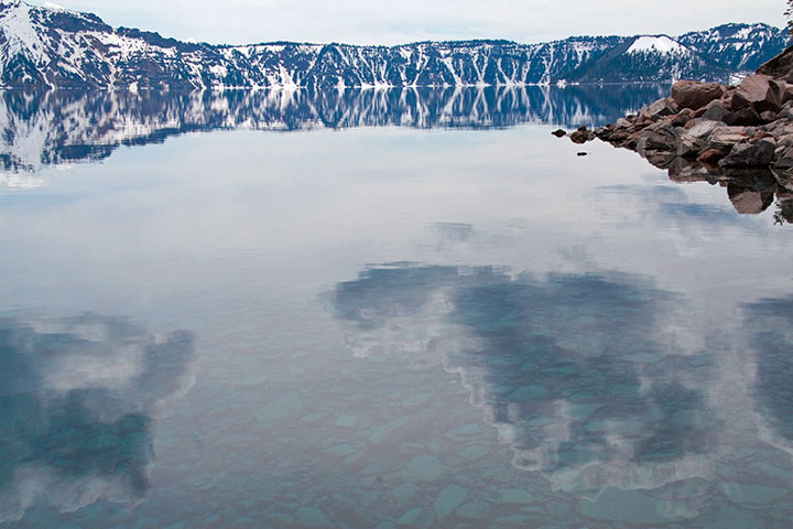
The thing that really got to me was the fact that the lake was both a bottomless pit and a perfectly-flat mirror, depending on which way you looked at it. That’s probably why this is my favorite photo of the trip—somehow the camera managed to look at things both ways.
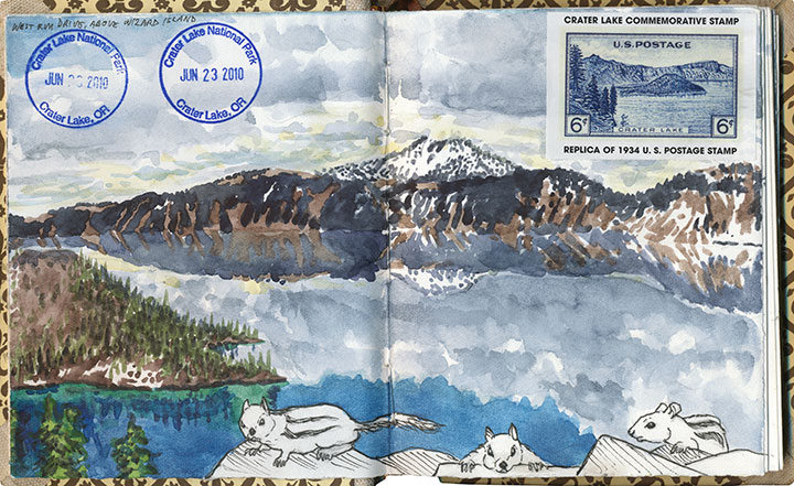
I think I must have been trying for the same kind of perspective with this drawing—and with far less success, I’m afraid. My brain broke when I tried to analyze the thing graphically. Ah, well. (The ground squirrels were fun, though.)
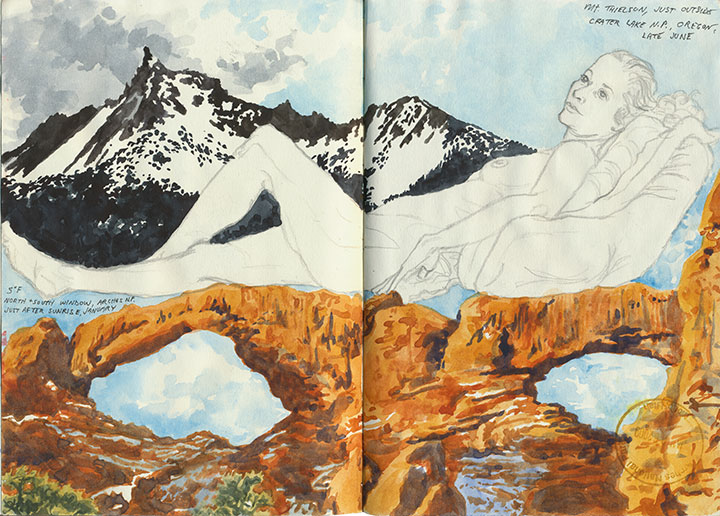
This one worked out a lot better—and it didn’t hurt that the figure and desert drawings were already there to help things along.
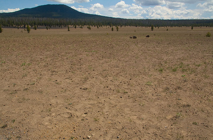
Speaking of deserts, we also saw a whole lot of barren landscapes to balance out all this snow and water. For one thing, we drove down and back on the eastern (the arid leeward) side of the Cascades. For another, there are places where all this ancient volcanic destruction still looks like it happened last year. This is the Pumice Desert, on the north side of the National Park.
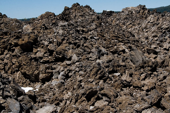
And this is something else again. Now, I loved everything we’d seen at the Park, but my absolute favorite part of the trip was this place, which made for a side trip on the way home. This is just south of the Newberry Caldera, another collapsed volcano formed in precisely the same way as Crater Lake, but on a much smaller scale. A trail winds up and through the rock-pile hills—a landscape that seems plucked from the surface of the Moon.
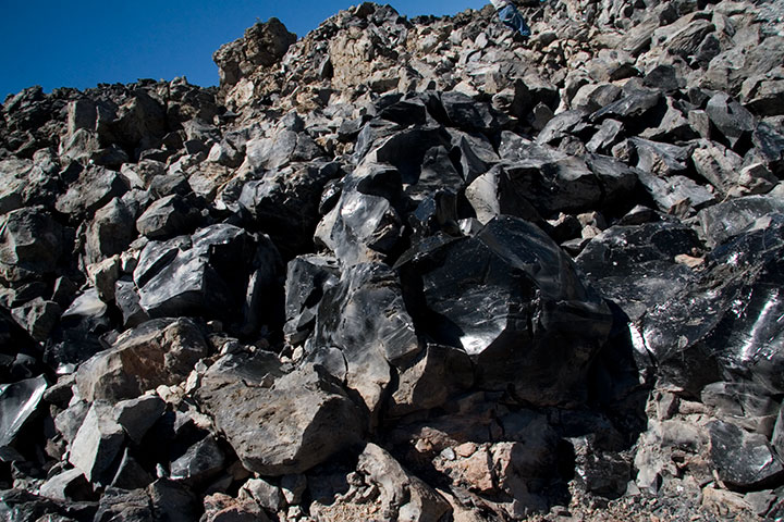
If you step closer, however, you’ll see the light glinting off of each rock and pooling in every crevice. In full sunlight the entire hillside sparkles like a gigantic, blinding treasure hoard.
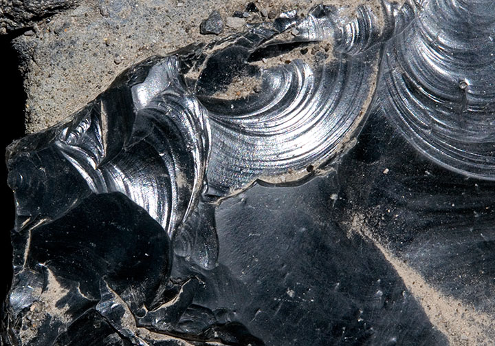
The rocks shine because they’re not rocks—they’re glass. This is obsidian, a natural glass formed when lava cools rapidly without crystallizing. Besides being gorgeous and just about the coolest thing ever, obsidian is extremely useful as a surgical tool. Obsidian scalpels can be sharpened to a near-microscopic edge (because of the not-forming-crystals thing), and the incisions they make produce narrower scars than steel scalpels do. Neat, huh? Anyway, obsidian flows of this size are quite rare, so if you get the chance to walk through one—take it.
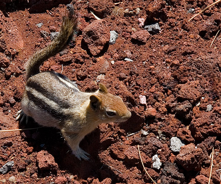
I could have stayed all day with the obsidian (which, by the way, is called the Big Obsidian Flow, a name that gives Deep Blue Lake a run for its money), but we were still several hours from home (we figured we’d have to spend the first hour stepping carefully around all the ground squirrels that had appeared at our feet), and we still had one more stop to make:
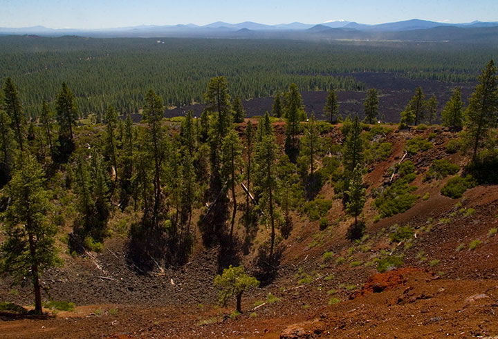
Lava Butte, from which it was possible to see pretty much every darn volcano in Oregon, and even Mt. Adams in Washington. I won’t bore you with the 200 other photos I shot from up there, but let’s just say I was in suitable awe.
Oh, and for the record? All of these volcanoes are still active. How freaky is that? Or maybe it isn’t, and I just have volcanoes on the brain, but I think it’s freaky.
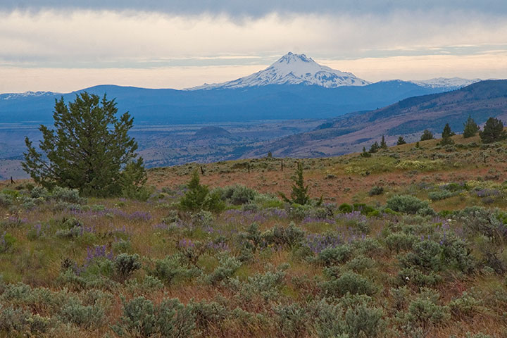
I lost count of all the volcanoes we spied, but the rest of the numbers were easy to tally:
Five glorious days.
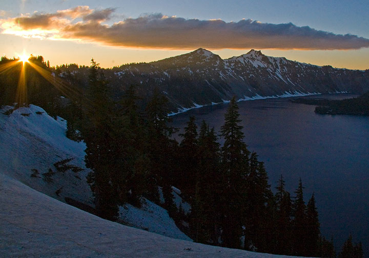
Five breathtaking sunsets.
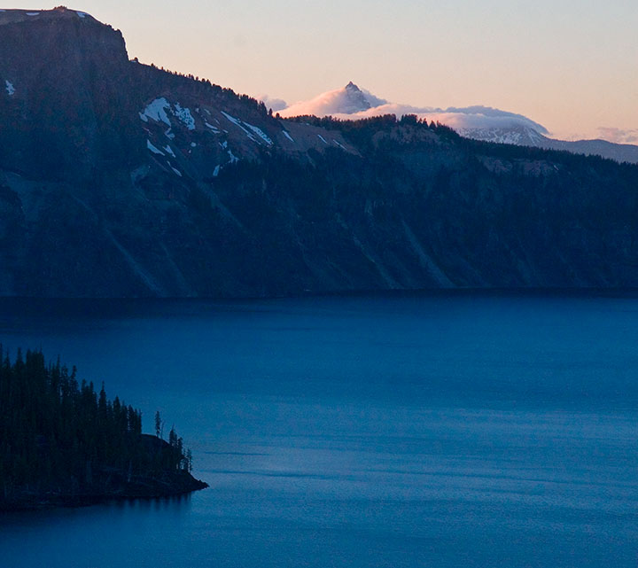
Five thousand smiles.
![Chandler O'Leary [logo]](https://chandleroleary.com/wp-content/themes/chandleroleary/images/logo.png)